
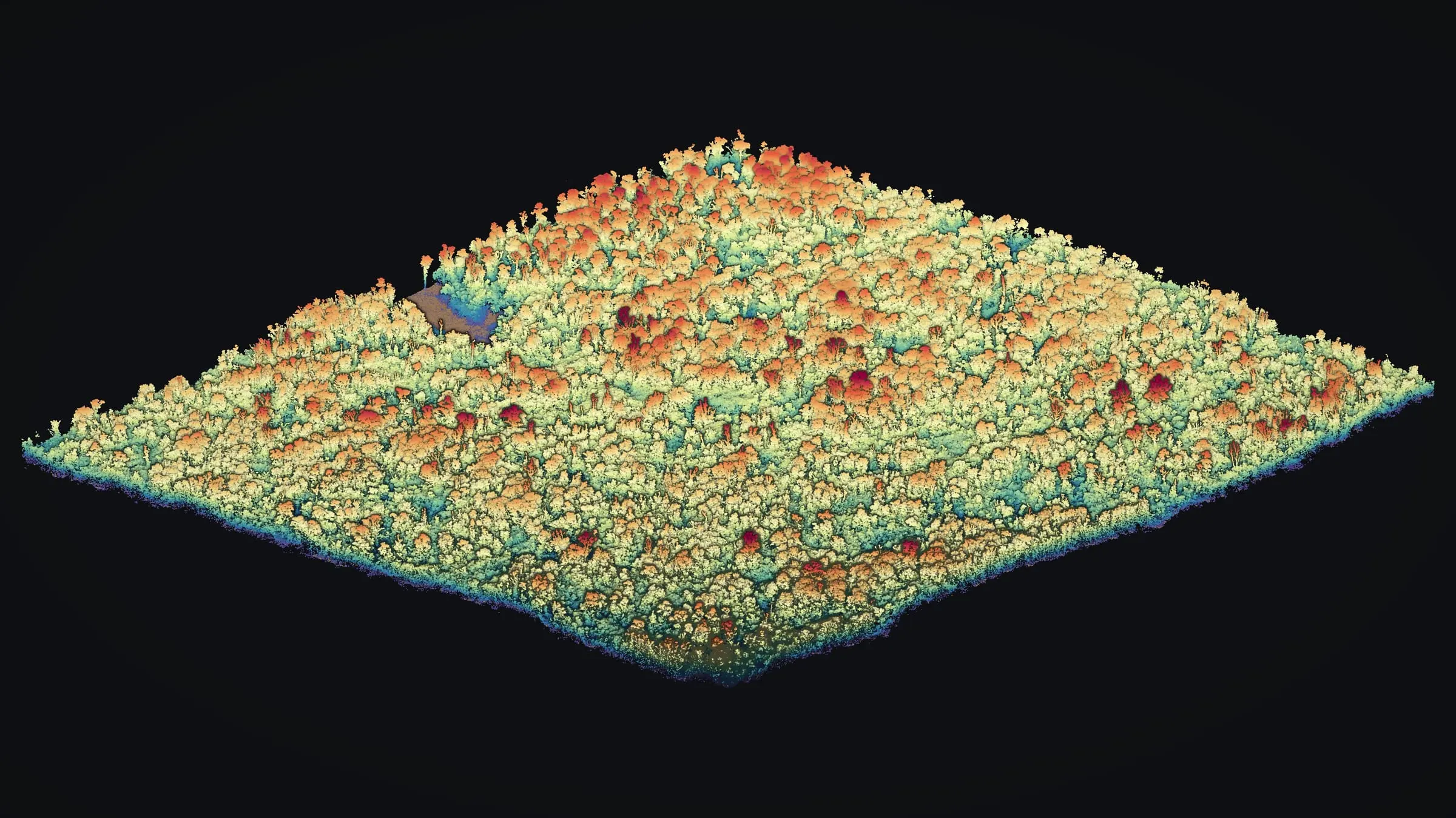
point clouds · bare earth
Drone LiDAR mapping
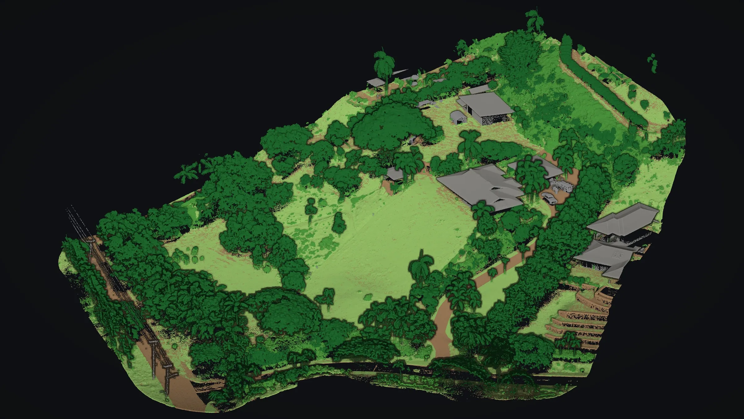
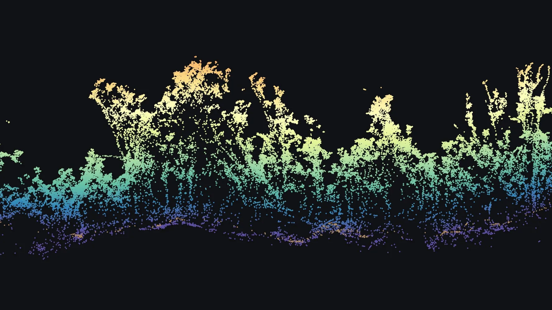
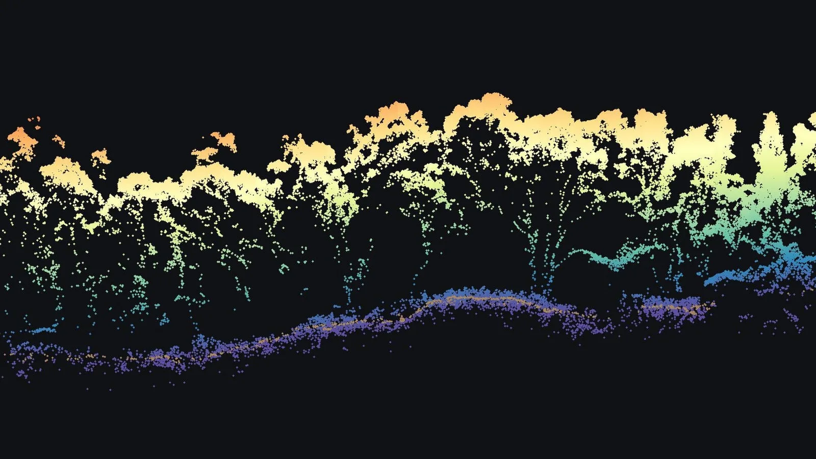
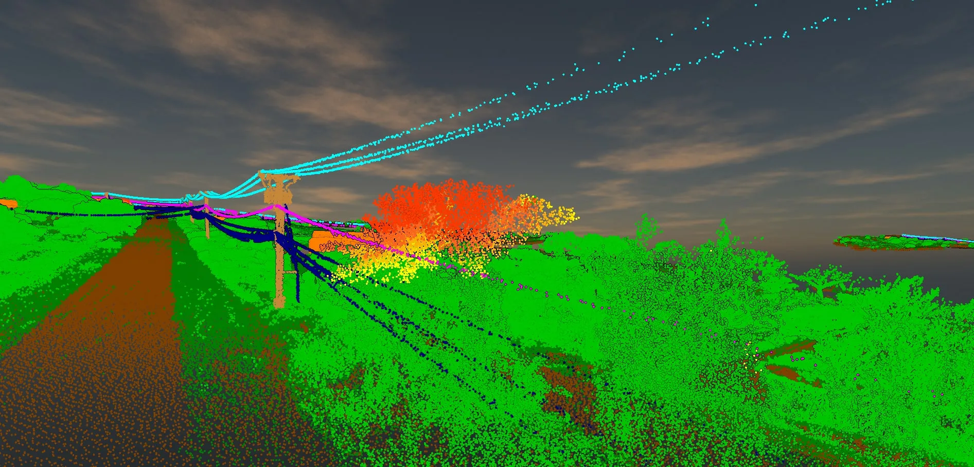
Drone LiDAR sees what a camera cannot. The scanner on our drone sends out a dense, rapid stream of laser pulses, and enough of them slip through gaps in the canopy to find the ground, where photographs alone see only treetops.
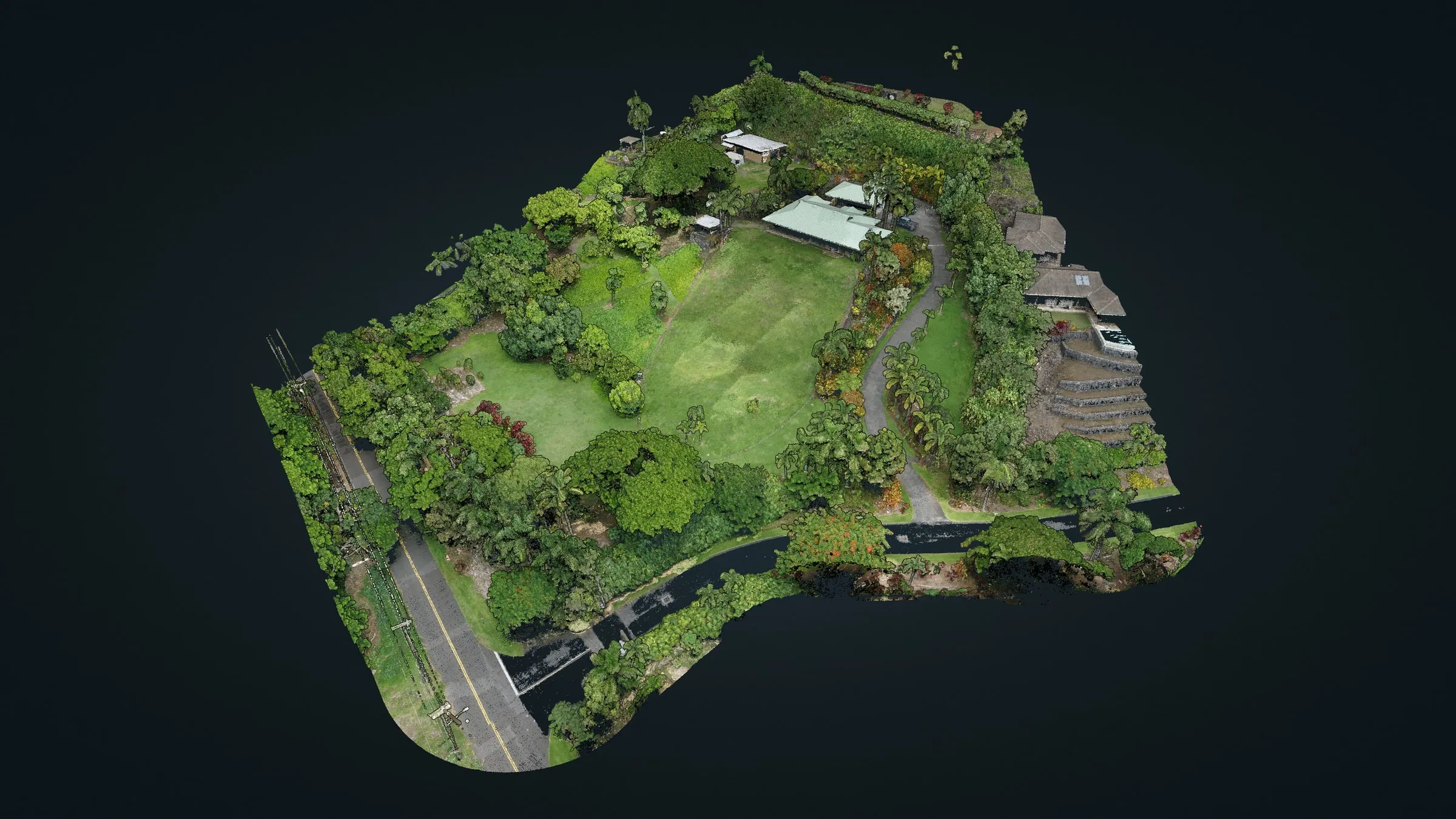
Drone LiDAR from our Hawaiʻi jobs
Every LiDAR job now comes with a private link to our online viewer, so the client turns their own site in 3D.
Why LiDAR, in Hawaiʻi especially
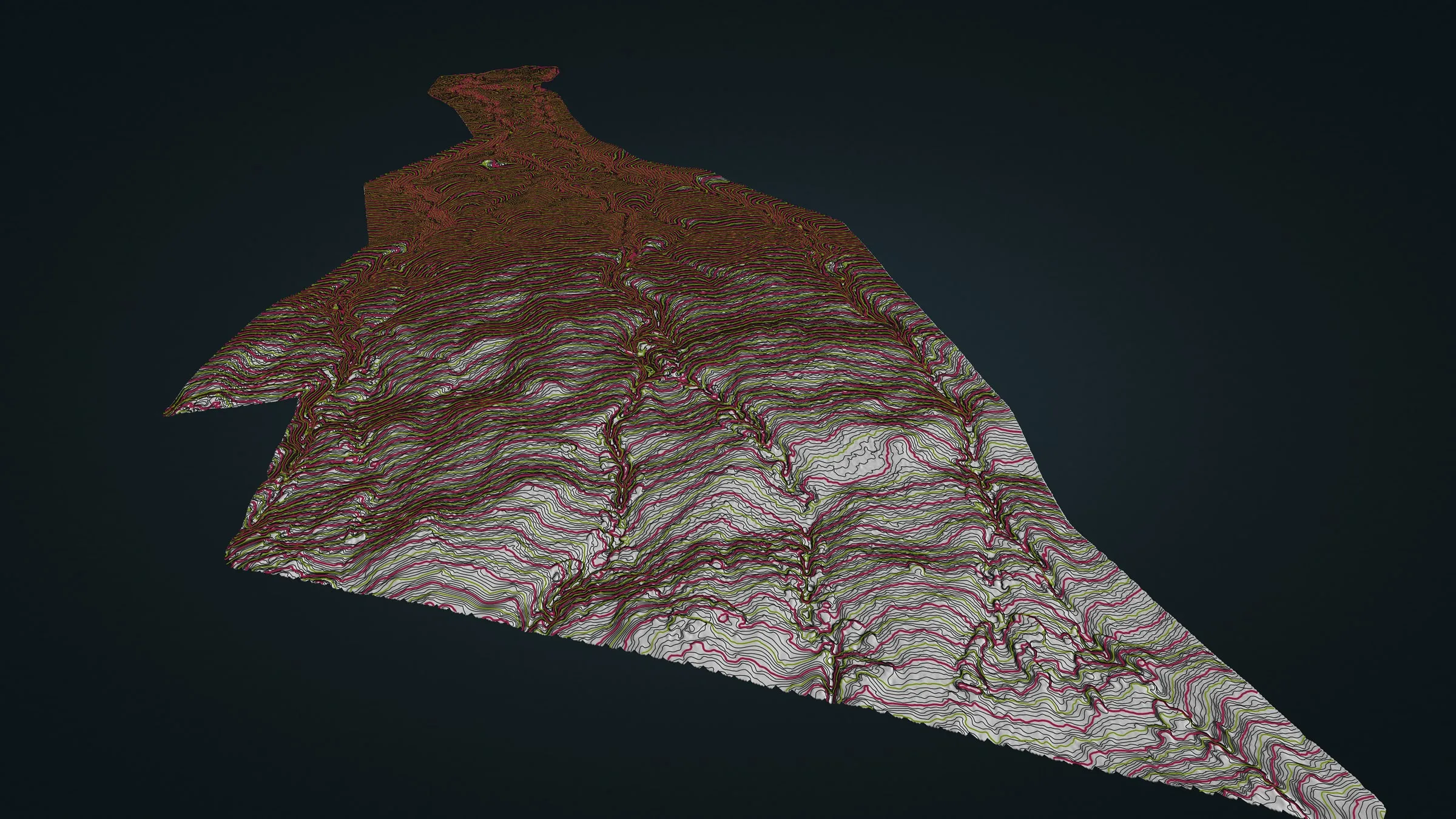
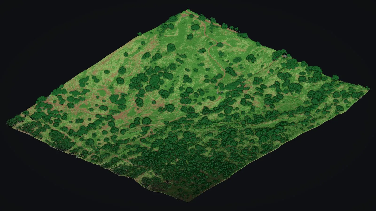
Much of Hawaiʻi grows under thick vegetation, and a camera records only its top. The bare earth model from drone LiDAR follows the real ground even under heavy forest. That makes it the right starting point for site planning and early drainage and grading design, trail and road planning, slope and hazard work, watersheds, and any project on steep ground under trees.
Forest, farms, trails and power lines
On a forested lot in Mountain View, trees over 20 ft cover 81% of the site, yet 96% of 3 m blocks held at least one ground return: enough for a bare earth model and 1 ft contours under the trees. For trail planning at Koaiʻa we flew 372 acres and delivered 760,978,949 points. On power lines the count is in miles: 60+ miles flown with drone LiDAR along corridors, repeat flights included.
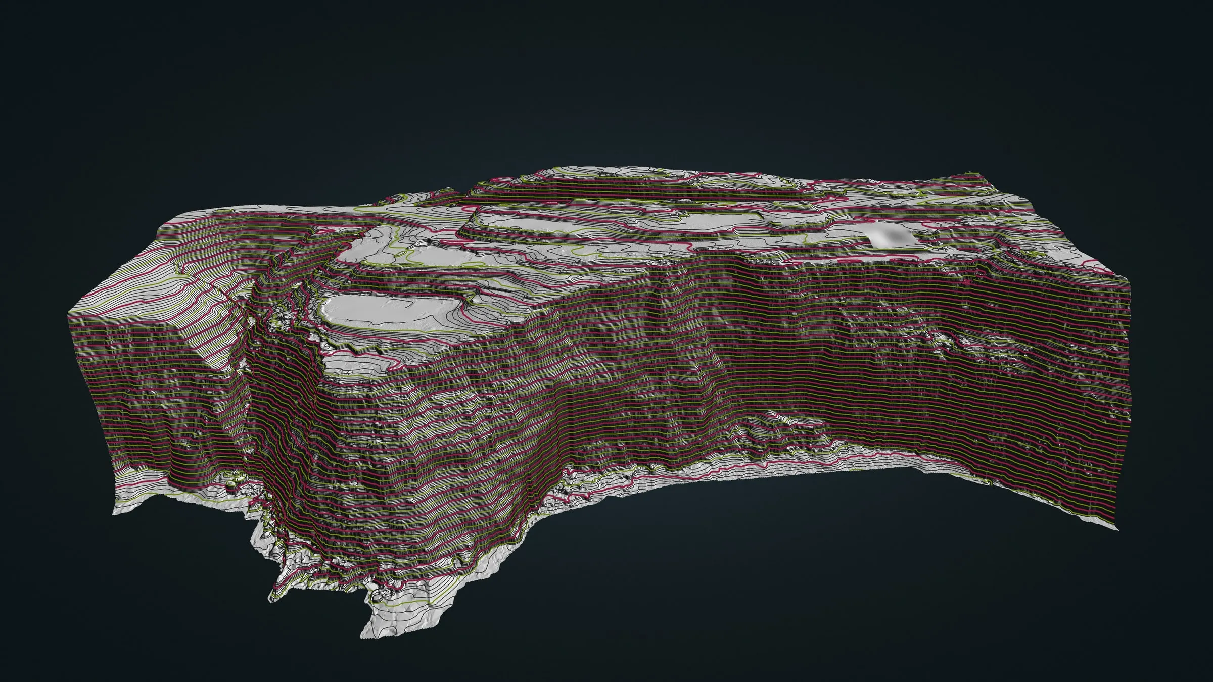
In a Volcano forest, 32% of 47,158,418 returns reached the ground. And on a Big Island sea cliff, the pulses recorded a steep face 53 to 72 m high from top edge to foot, a baseline for erosion monitoring.
What we deliver
- Classified LiDAR point clouds (LAS or LAZ)
- Bare earth terrain model (DTM) and surface model (DSM)
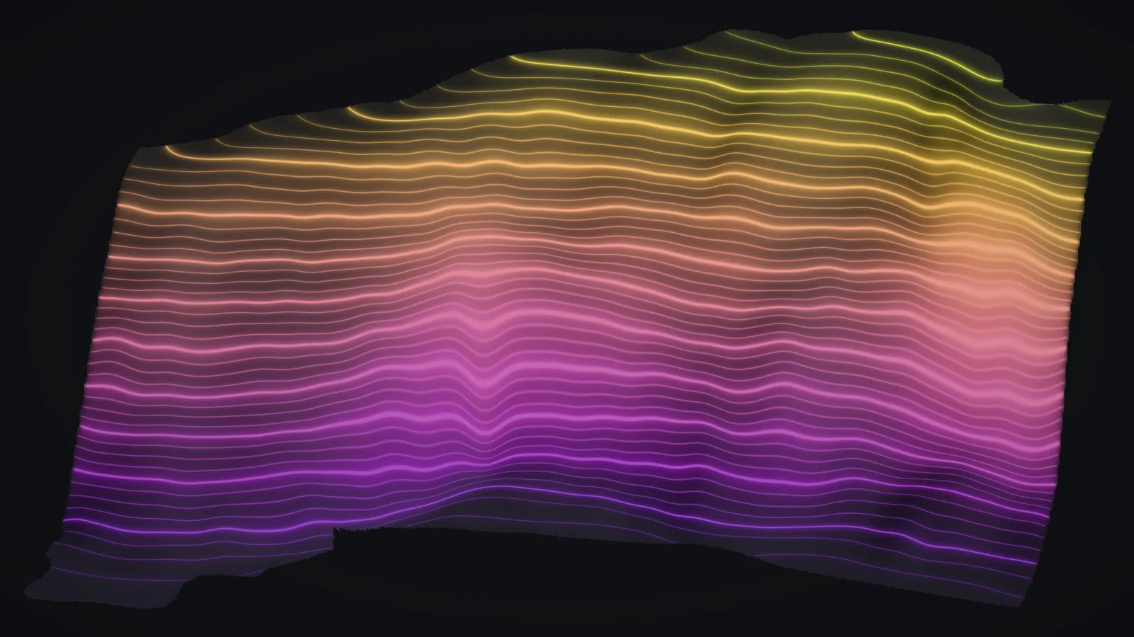
- Contours at your specified interval
- Canopy height models and tree crown layers
- Map sheets and a web viewer for people without GIS software
Frequently asked questions
How do you check a LiDAR dataset before it is delivered?
Where the job calls for it, we log a GNSS base station on site for the whole flight; on our Koaiʻa and Mountain View jobs that base was processed against Mauna Kea’s continuously operating reference station. We classify the ground and the vegetation, then look over the bare earth model for gaps and artifacts before anything ships. How exact the data needs to be depends on the decision it supports, so we settle that with you before we fly and tell you plainly what the finished data is fit for.
Can LiDAR see the ground under thick canopy?
Through the gaps, yes, and that is its biggest advantage in Hawaiʻi. Laser pulses reach the ground between leaves and branches, so we can model bare earth where a photograph shows only treetops. Where the canopy is densest fewer pulses get through, and the model bridges those patches from the ground around them, which is one reason we look it over before delivery.
What deliverable formats do you provide?
Classified point clouds in LAS or LAZ, bare earth and canopy height models as GeoTIFF, contours as DWG, DXF or shapefile, and map sheets as PDF. We match the formats your team already uses.
Which coordinate system and heights will the data use?
Our Hawaiʻi data has gone out in State Plane on NAD83(PA11), the datum Hawaiʻi’s geodetic control is published on (zone 1 on Hawaiʻi Island, zone 2 on Maui), or in UTM zone 5 north, in feet or meters to match your drawings. Heights need a word first. Hawaiʻi has no statewide height datum like the mainland’s: elevations here refer to local mean sea level, and a geoid model can sit half a meter or more away from it. So we settle the height reference with you before the flight, and an elevation you will build to needs a licensed surveyor’s tie to a benchmark. Relief, slope, canopy height and the shape of the contours are measured within the data and hold either way. A contour interval is the spacing drawn, not a statement of accuracy.
How large an area can you map?
Our Hawaiʻi flights so far run from a farm site of 8.5 acres to a trail corridor of 372 acres, and power line work is counted in miles: 60+ miles flown over corridors on Hawaiʻi Island. We scope each flight to the site and the decision it supports.
Case studies and related services
Need the ground beneath the trees?
Send the site and its rough acreage, the coordinate system and height reference your engineer works in, and the CAD or GIS format you draw in. We agree the heights with you before the drone goes up.