
Services
Geospatial services for Hawaiʻi
GIS, drone mapping and drone LiDAR services on every Hawaiian island. Tell us the decision you need to make, and we will choose the flight, the processing and the files that answer it.
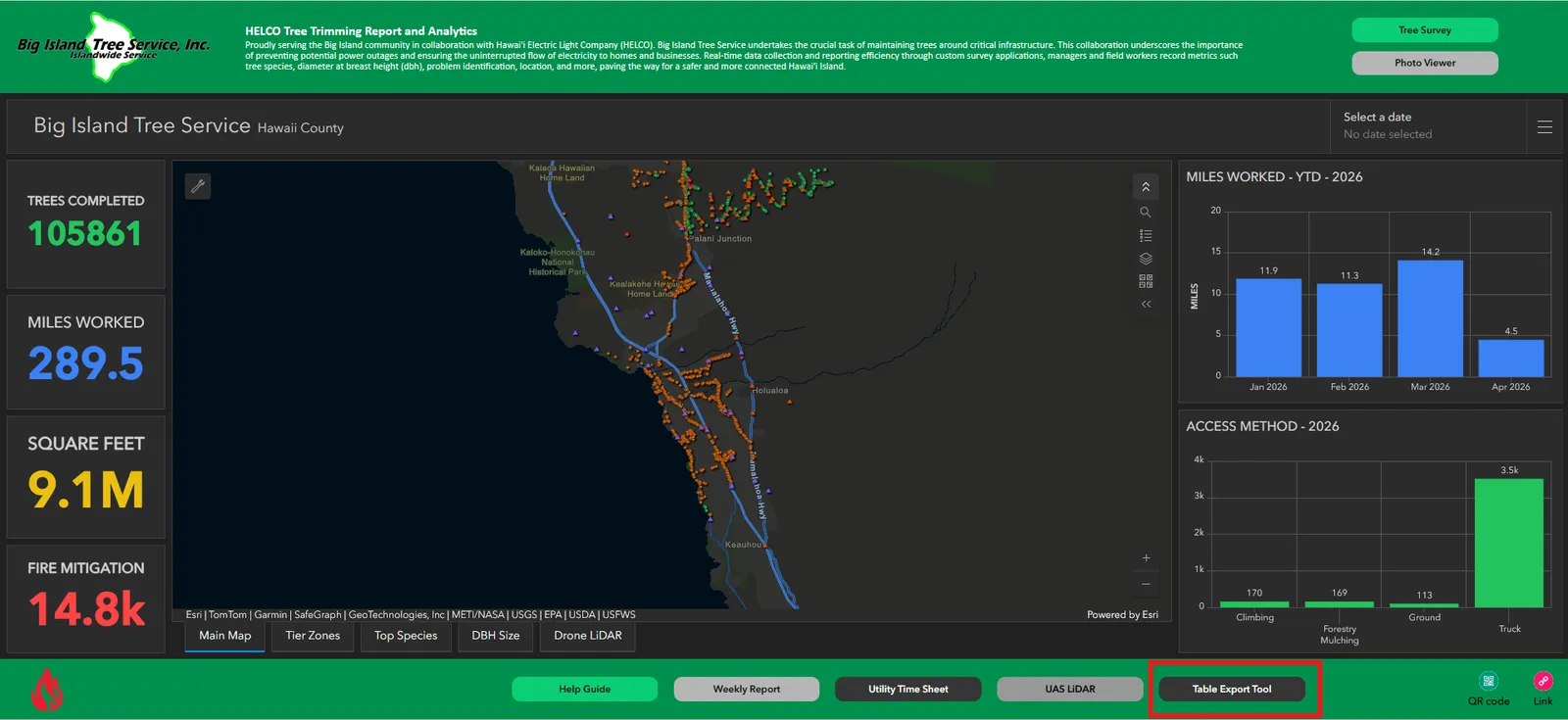
GIS consulting and dashboards
Analysis, dashboards and custom apps for the questions your data has to answer.
Learn more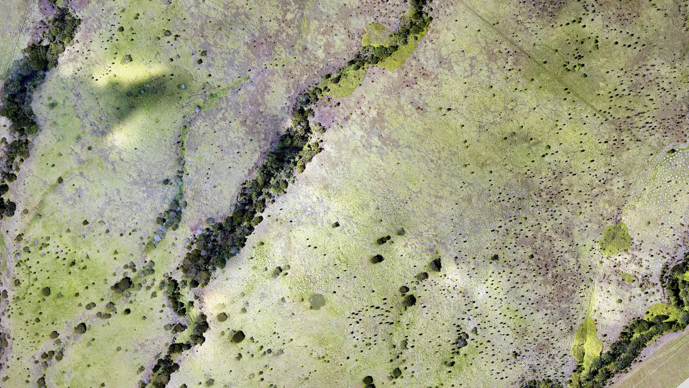
Drone mapping
Sharp aerial maps, contour lines and 3D terrain, ready to open in CAD or GIS.
Learn more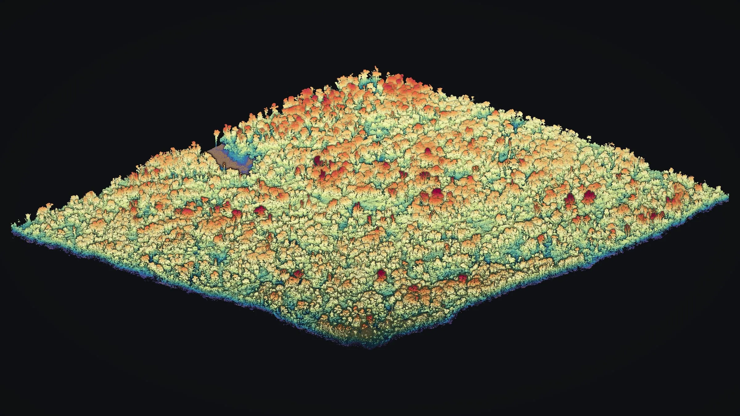
Drone LiDAR
Laser scans from the air that find the ground under forest, delivered as point clouds and terrain.
Learn moreMultispectral mapping
NDVI and other plant indices from a multispectral camera, flown on request.
Learn more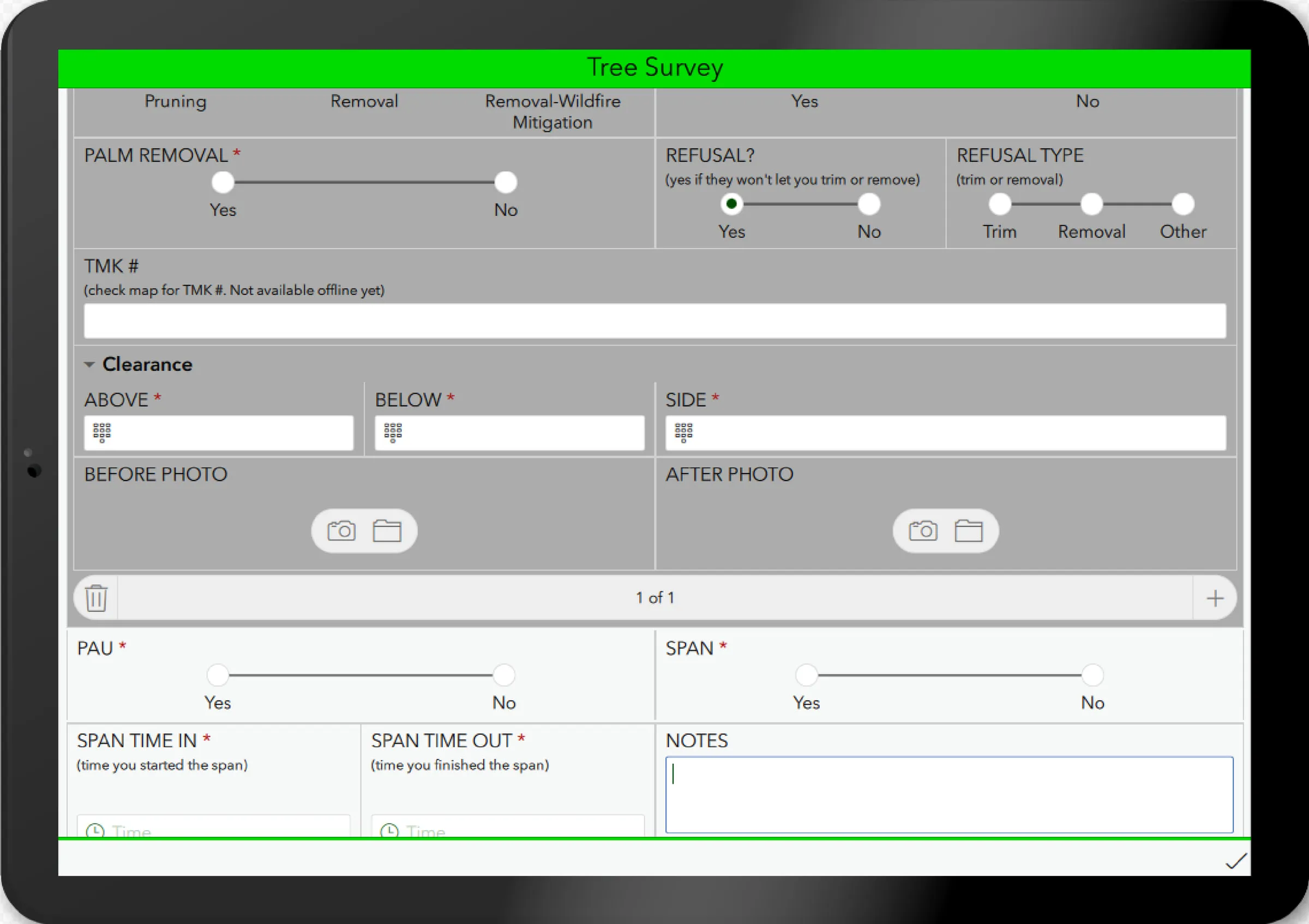
Survey123 and field data
Tablet forms for field crews, daily data checks and the dashboards they feed.
Learn more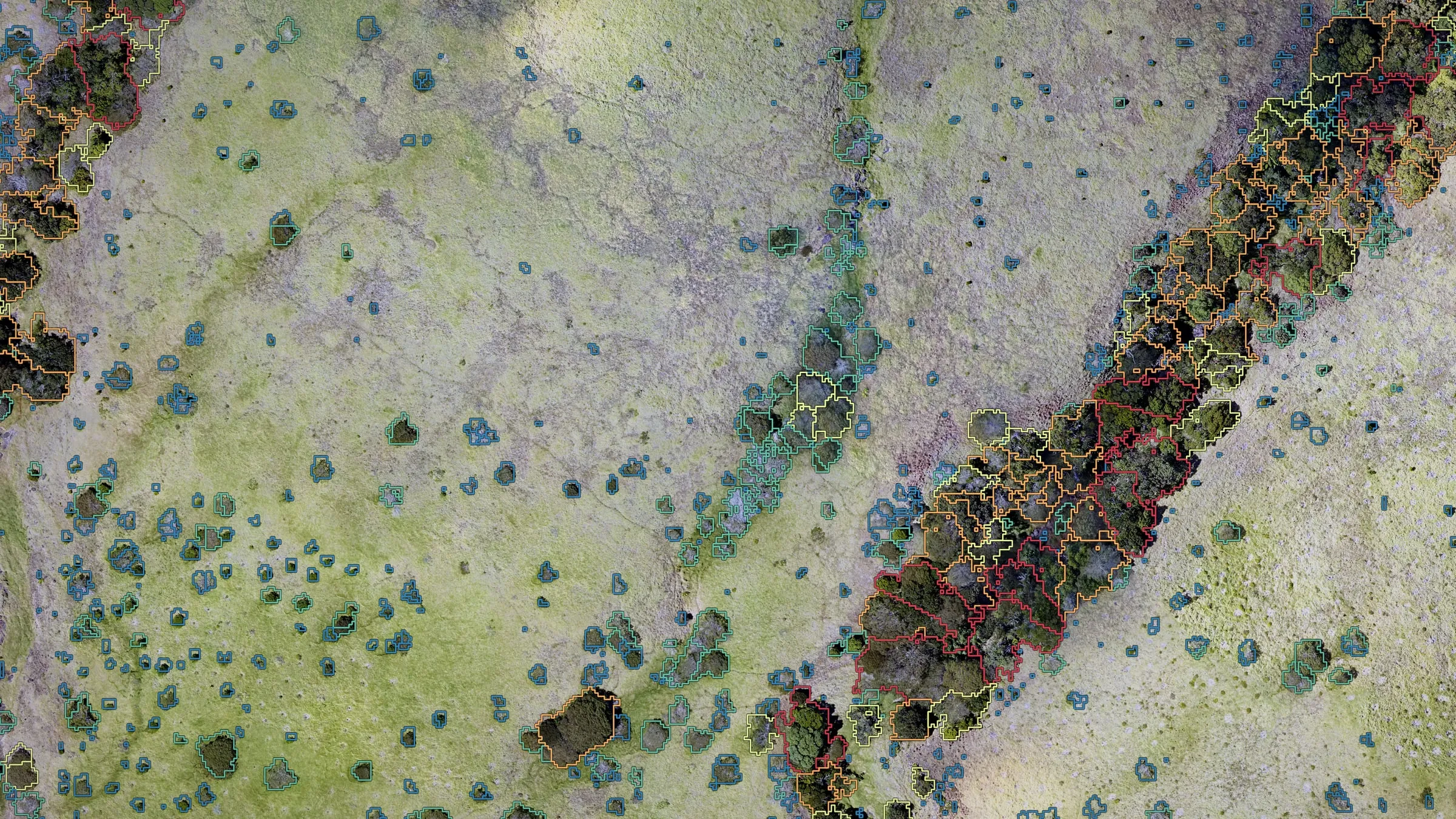
Forestry and vegetation
How tall the forest is, where each crown sits, and which trees crowd the lines.
Learn more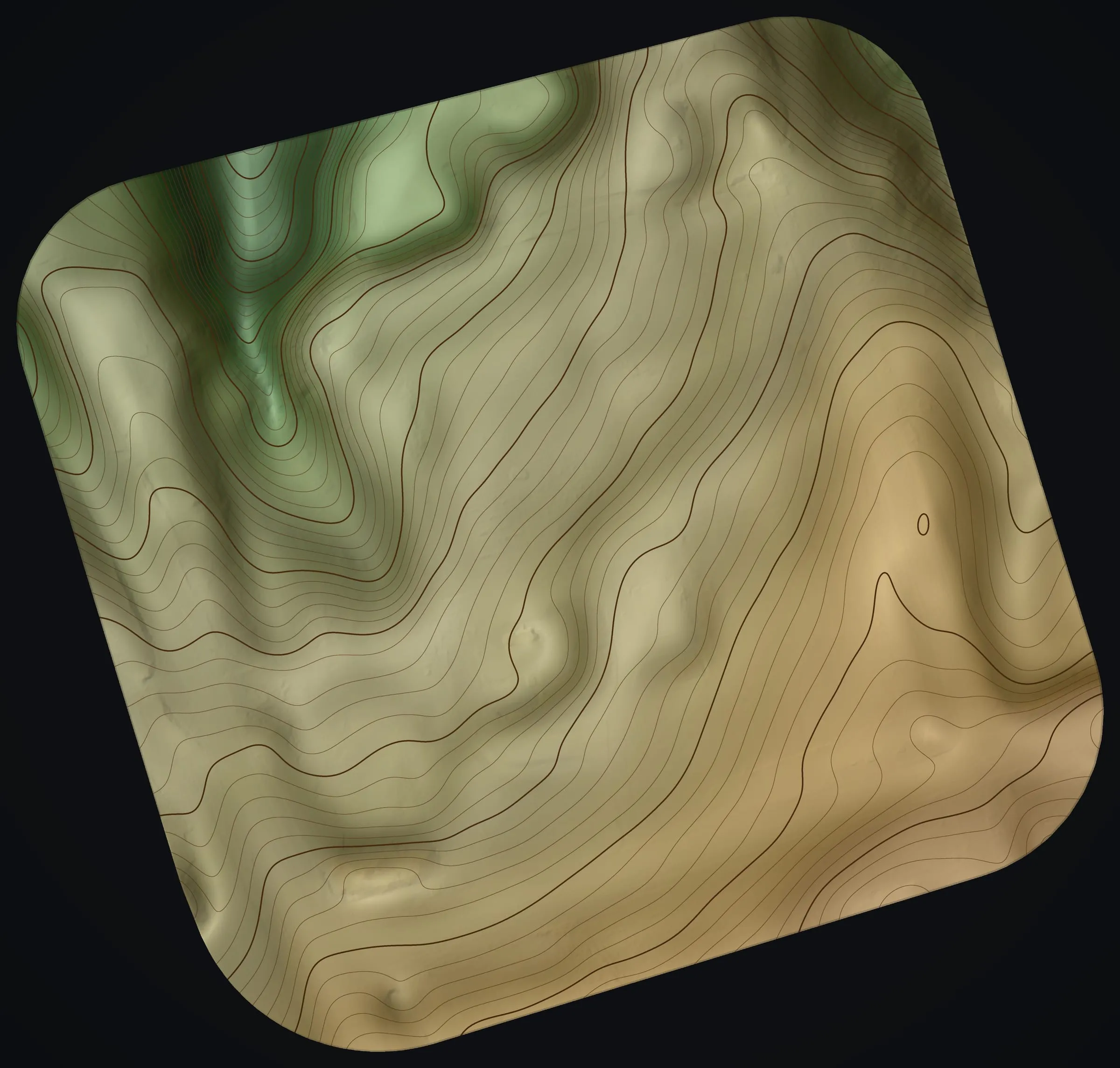
Land and terrain mapping
Slope, drainage and contours for building sites, farm layouts and planning.
Learn more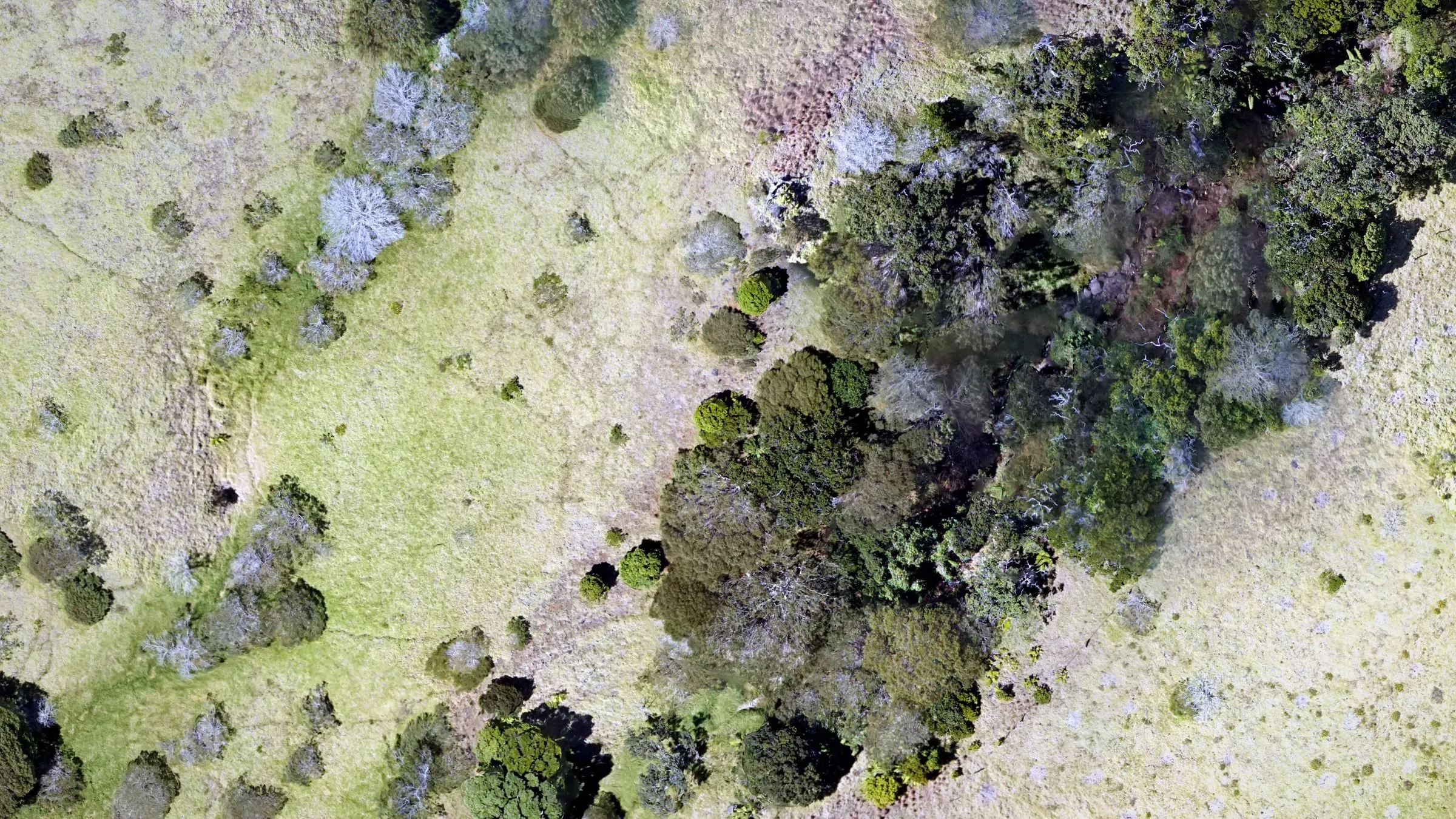
Conservation mapping
Restoration land, watersheds and sensitive places, recorded from the air.
Learn moreHave a Hawaiʻi project that needs mapping?
Send the island, where the site is and the question the map has to answer. We will come back with how we would map it, what you would receive and what it would cost.