


From Haleakalā to the West Maui Mountains
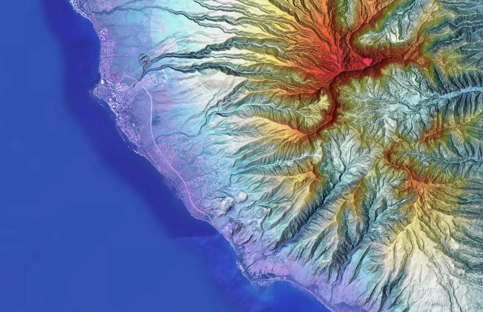
Maui's terrain swings from the alpine summit of Haleakalā to the deeply eroded, rain soaked ridges of Puʻu Kukui and the West Maui Mountains, with Upcountry farmland and the Central Valley between. Ground that varies that much within a few miles is worth measuring properly before anyone plans on it.
Farm planning data, Upcountry and windward
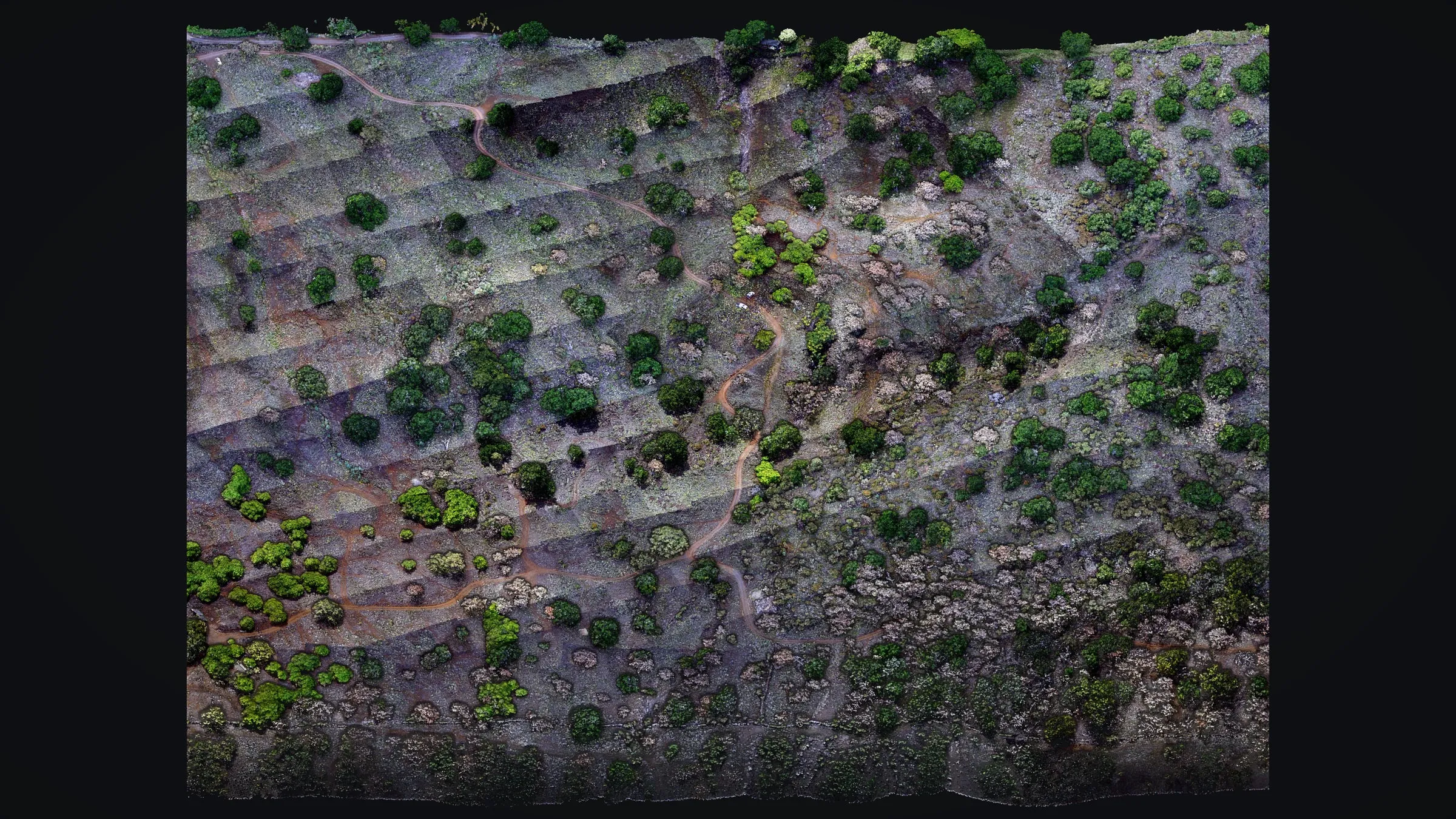
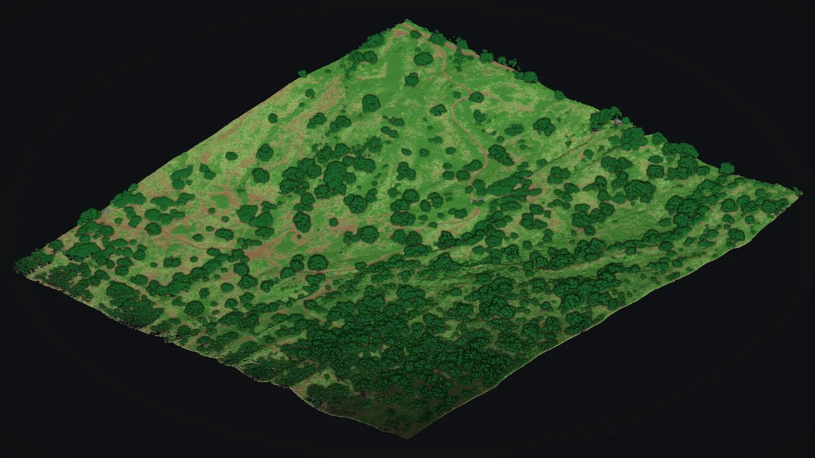
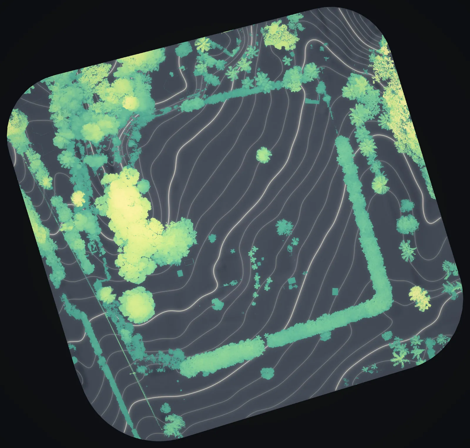
We flew two Maui farm sites in August 2025: Kēōkea, Upcountry in Kula, and 8.5 acres in Haʻikū on the windward side. Drone LiDAR and a camera together gave each of them a bare earth model, contours and the height of everything growing on it: what a farm plan needs before a field, a track or a house goes on paper. The Kēōkea flight covered about 105 acres of dry, gullied slope.
Read the Maui farm planning case study →
Where we work
- Upcountry and Kula: farm layouts, building sites and the slope a plan has to follow
- Haʻikū: farm ground under trees and hedgerows
- Watersheds and conservation land
- The slopes of Haleakalā and the West Maui Mountains
Where our fire work stands
Our own fire work is mitigation mapping on Hawaiʻi Island: drone LiDAR of power lines running through the utility's highest fire risk tier, plus the tree crews' records of the clearing work. After the August 2023 fire in Lahaina, our founder built a heat index of the burn area from Landsat thermal imagery, on his own and for no client; that map is on our About page. The mitigation work is on our wildfire mitigation page, and mapping a fire that is burning is on our wildland fire mapping page.
Getting to Maui is quick. The drone is ready to go from Hawaiʻi Island and can be on your site here the same day a job needs it.
Planning a farm, a home site or a conservation project on Maui? See how drone LiDAR finds the ground beneath the trees and what drone mapping delivers, then send us the parcel and the date you are working toward.