
Case study · bare earth
Finding the ground under a closed forest in Mountain View
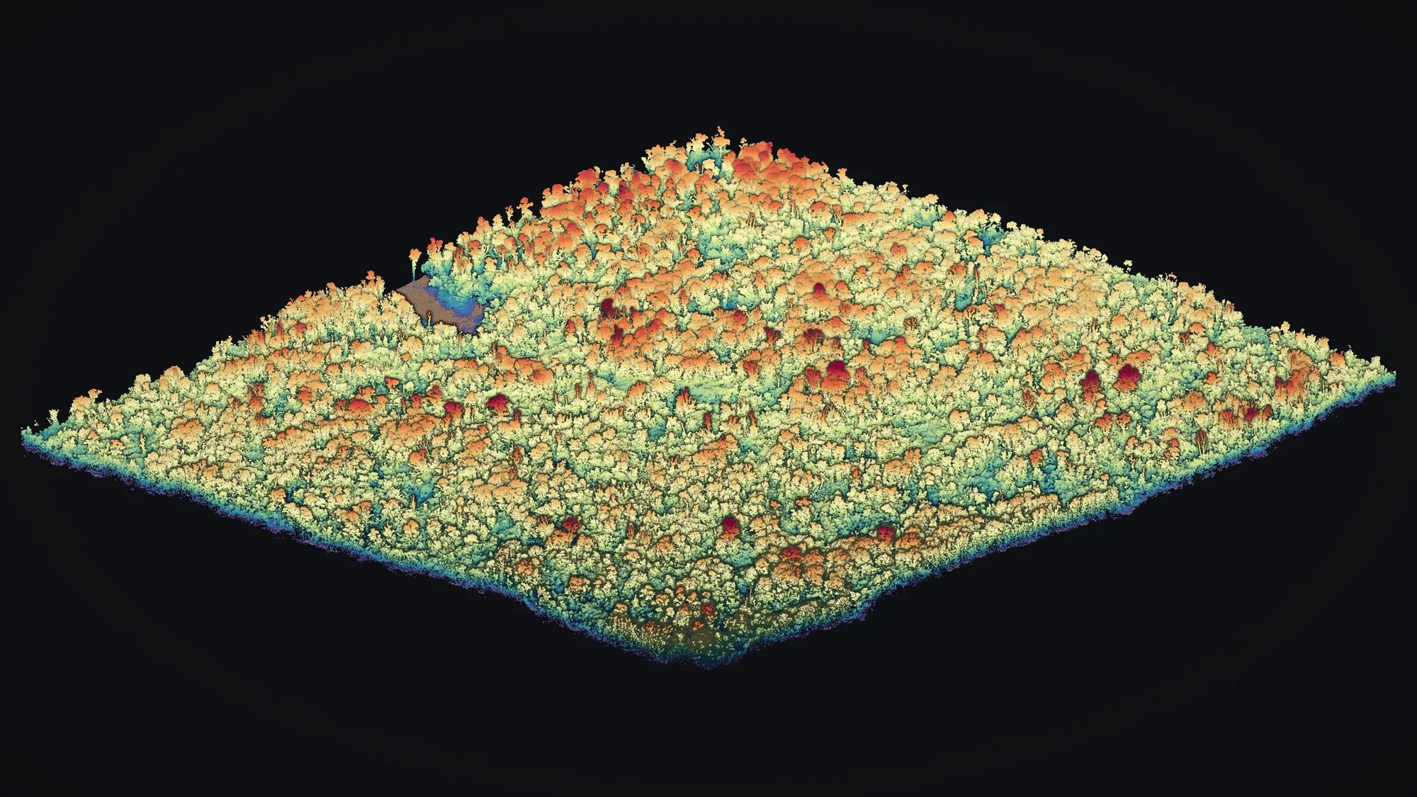
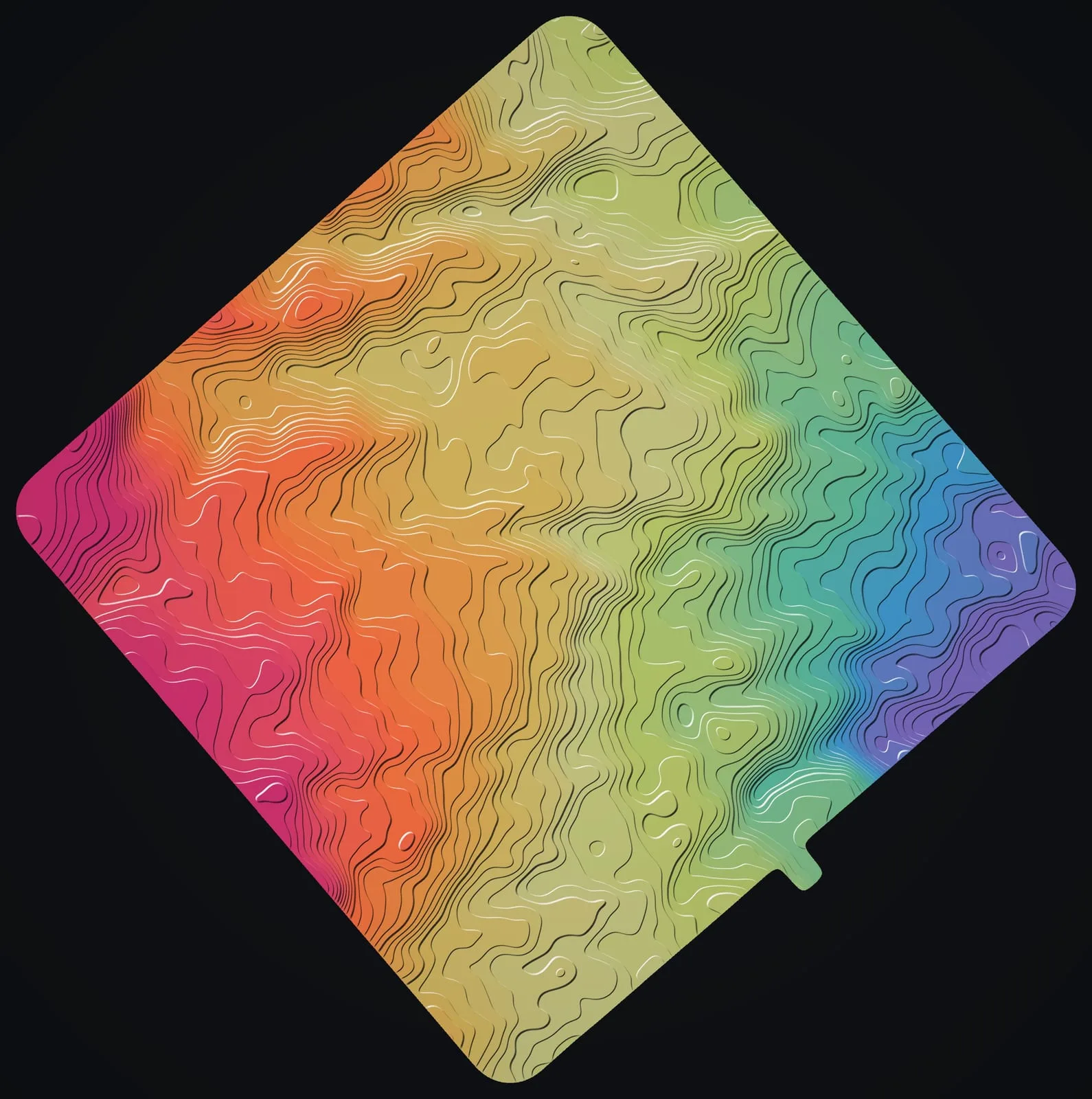
On a forested lot in Mountain View, on Hawaiʻi Island, the trees close over most of the ground. In March 2026 we flew it twice with drone LiDAR, with a GNSS base logging on site, and mapped the old lava ground beneath the canopy as a bare earth model with contours every foot.
Under a closed forest
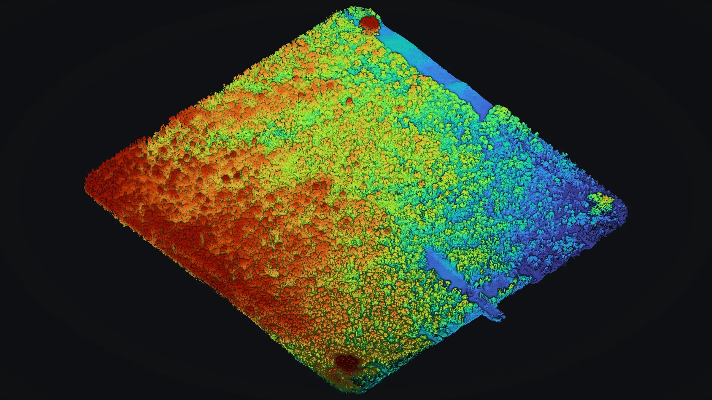
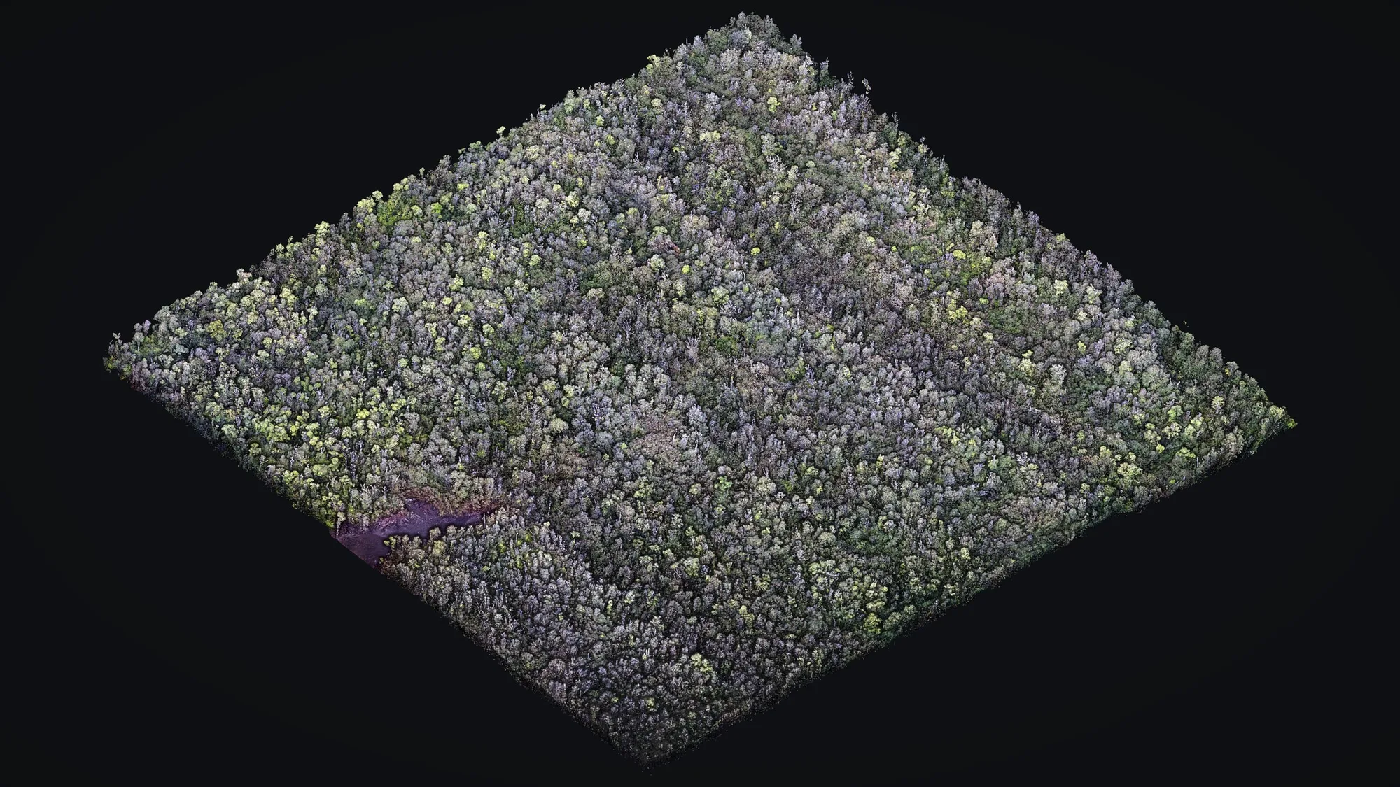
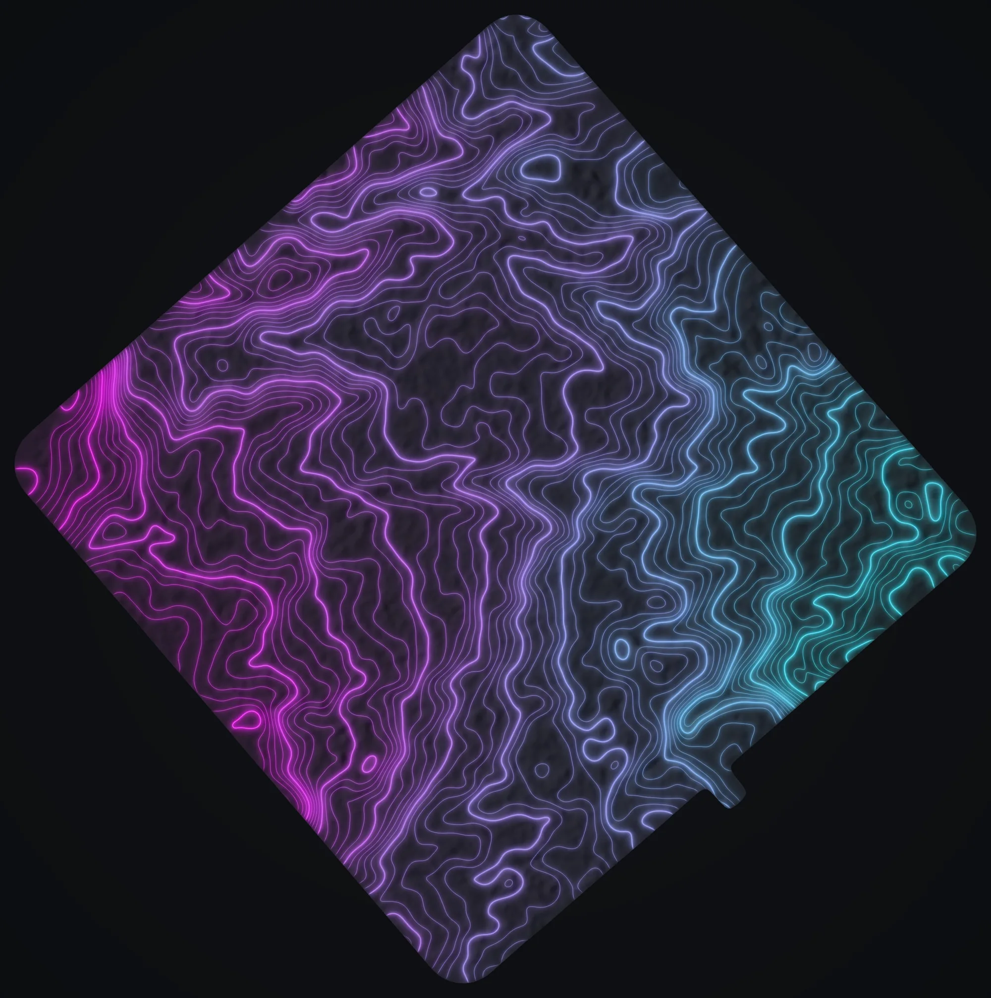
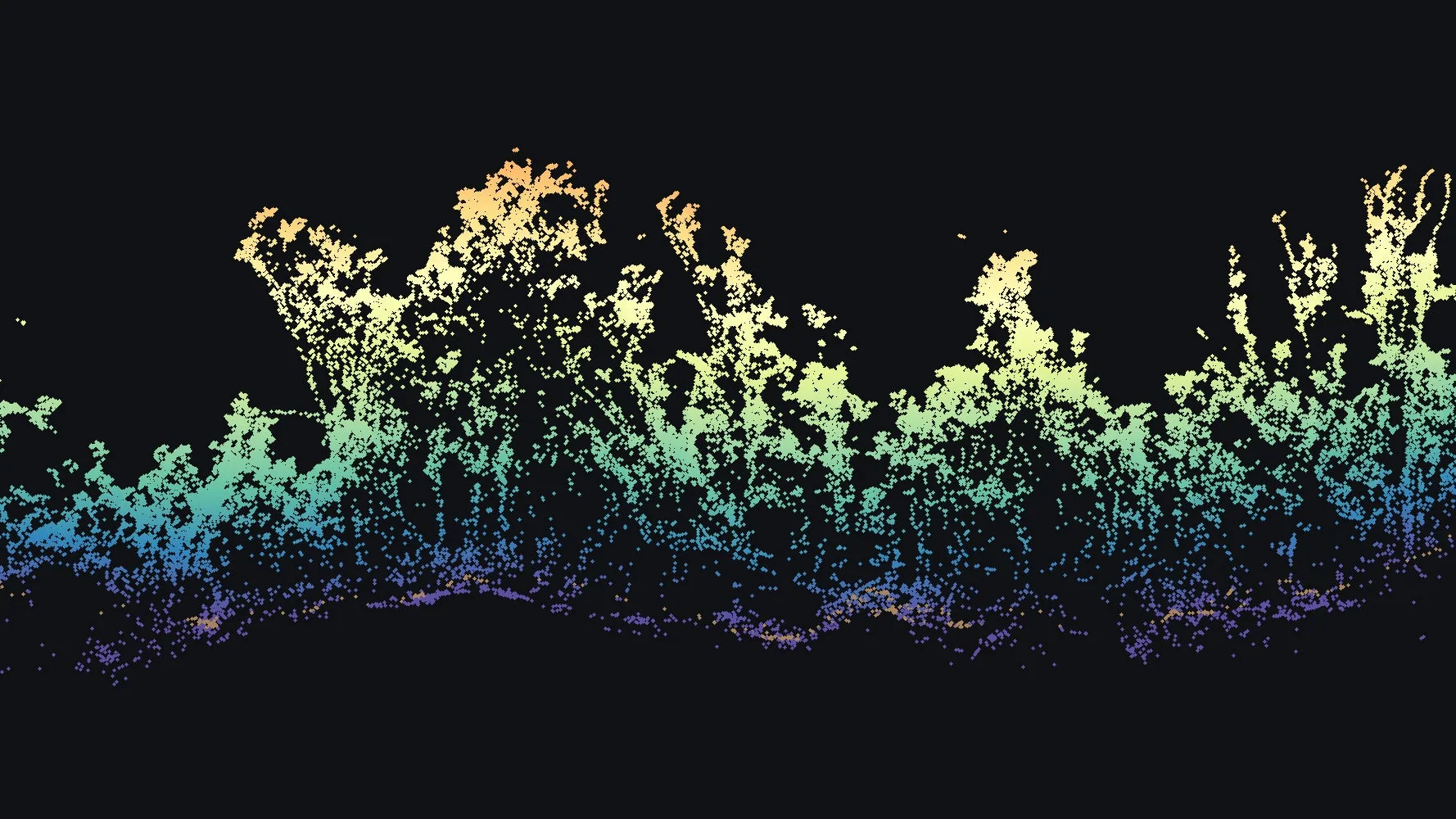
Tree cover over most of the lot, and the lava ground under it. Select any picture for the full view.
The problem
From the air, a closed forest hides the land it stands on. On this lot, canopy taller than 20 ft covers 81 percent of the site, and the top of the canopy sits a median 31 ft above the ground. Beneath it lies old lava, rising and dipping in ridges and hollows that no photograph of the treetops can show. The job was a map of that ground, not of the forest over it.
What we flew
We flew the lot twice on March 26, 2026, once at 250 ft and once at 200 ft, with drone LiDAR. A GNSS base station logged on site, and we processed its record against the continuously operating reference station on Mauna Kea, MKEA.
How the ground came through
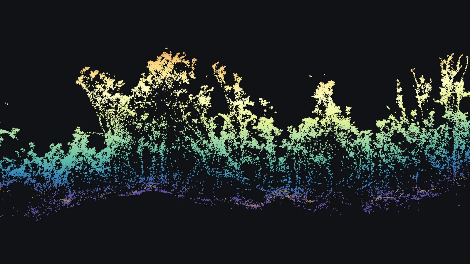
Laser pulses from the scanner slip through small openings in the leaves, and the ones that reach the forest floor come back as ground returns. The flights returned 161,855,204 points, about 581 to every square meter of the mapped ground, sorted into ground returns and all the rest. The ground came through widely: 96 percent of the 3 m blocks across the site hold at least one ground return, so over nearly the whole lot the bare earth model rests on measured ground rather than on gaps bridged between distant points.
What we delivered
- The point cloud, 161,855,204 points in LAS 1.4, classified as ground with every other return left unclassified
- A bare earth model on a 0.25 m grid covering 68.7 acres, in feet and in meters, with four hillshades
- Contours every 1 ft, 8,976 lines, as AutoCAD DWG in R2013 and R2018, as DXF and as a shapefile
- Nine 36 x 48 map sheets as PDFs, drawn at 1 inch to 60 ft with details at 1 inch to 15 ft, showing the contours alone, over a hillshade and over a colored hillshade
- Horizontal coordinates for the cloud, the bare earth model and the contour shapefile in NAD83(PA11), State Plane zone 1, in meters
Each sheet carries a note that the map supports planning and is not a land survey.
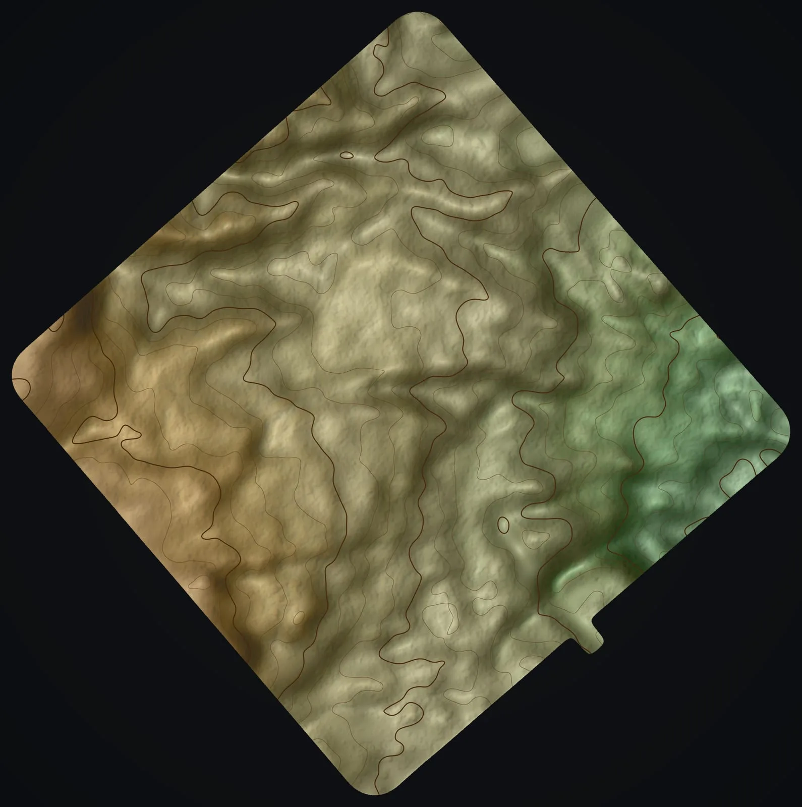
What the ground shows
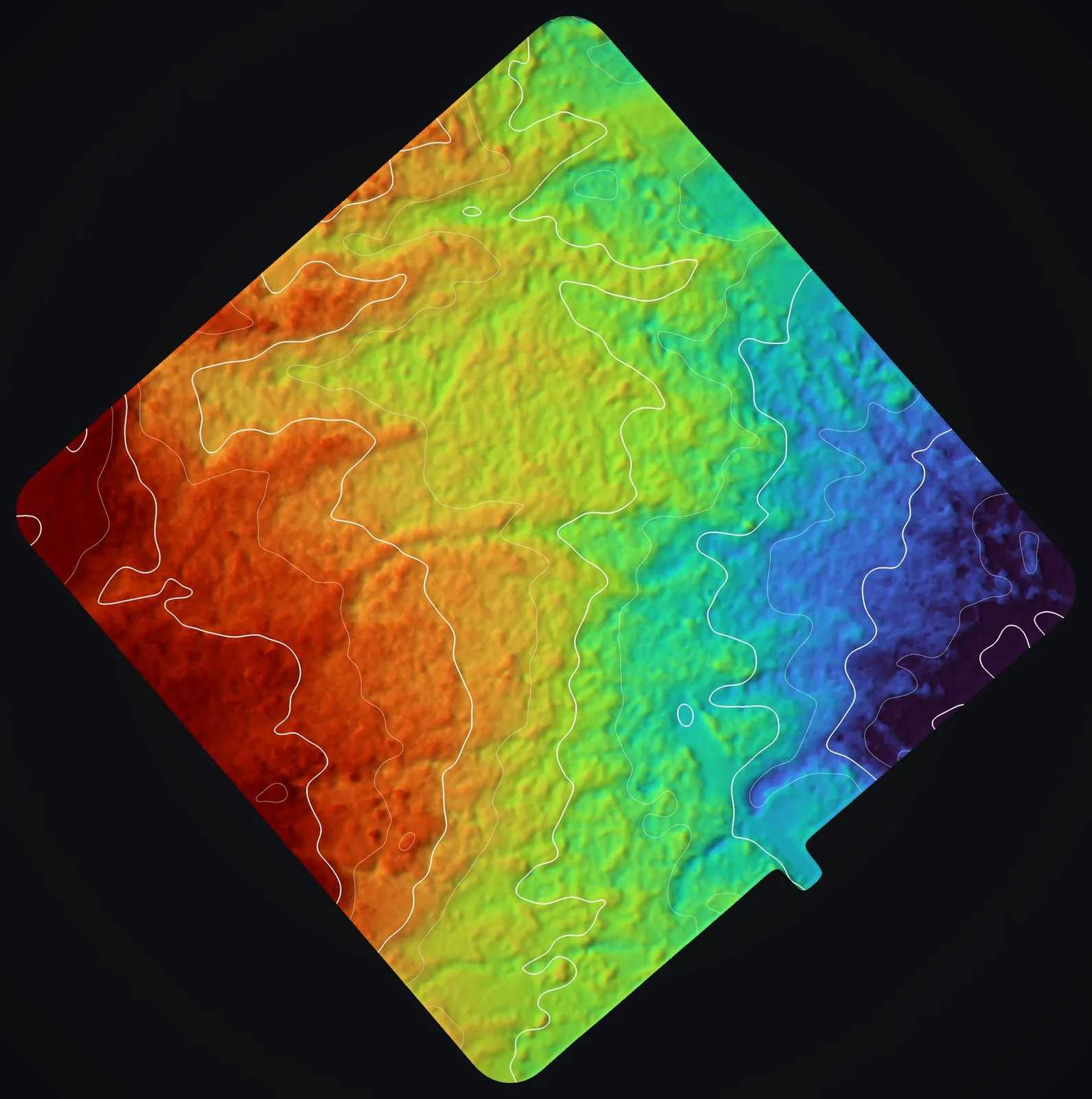
With the trees taken away, the lot reads plainly: a broad slope of old lava flows with 132 ft of relief from bottom to top, crossed by the low ridges and hollows of the flows. Those shapes are all in the 1 ft contours, in files that open in CAD and GIS software alike.
The numbers
- points in the delivered cloud
- 161,855,204
- points per square meter
- about 581
- percent of 3 m blocks with a ground return
- 96
- percent of the site under canopy over 20 ft
- 81
- median height of the canopy top
- 31 ft
- acres of bare earth model
- 68.7
- feet of relief, top to bottom
- 132
- contour lines at 1 ft
- 8,976
- map sheets, 36 x 48
- 9
Relief is measured inside the bare earth model, between its lowest and highest ground, so it is a difference in height and not an elevation. The canopy share compares the highest return in each square meter with the bare earth beneath it.
Land under trees
If your land sits under forest, the same approach carries over: flights at more than one height, a base station on site, a measure of how much of the ground the pulses reached, and bare earth and contours delivered in the formats your own team works in.
Related work and services
A wooded lot to plan and design on?
Tell us the lot and its size, which coordinates and heights your drawings are in, and the CAD version your team opens. The height reference is agreed with you before we fly.