
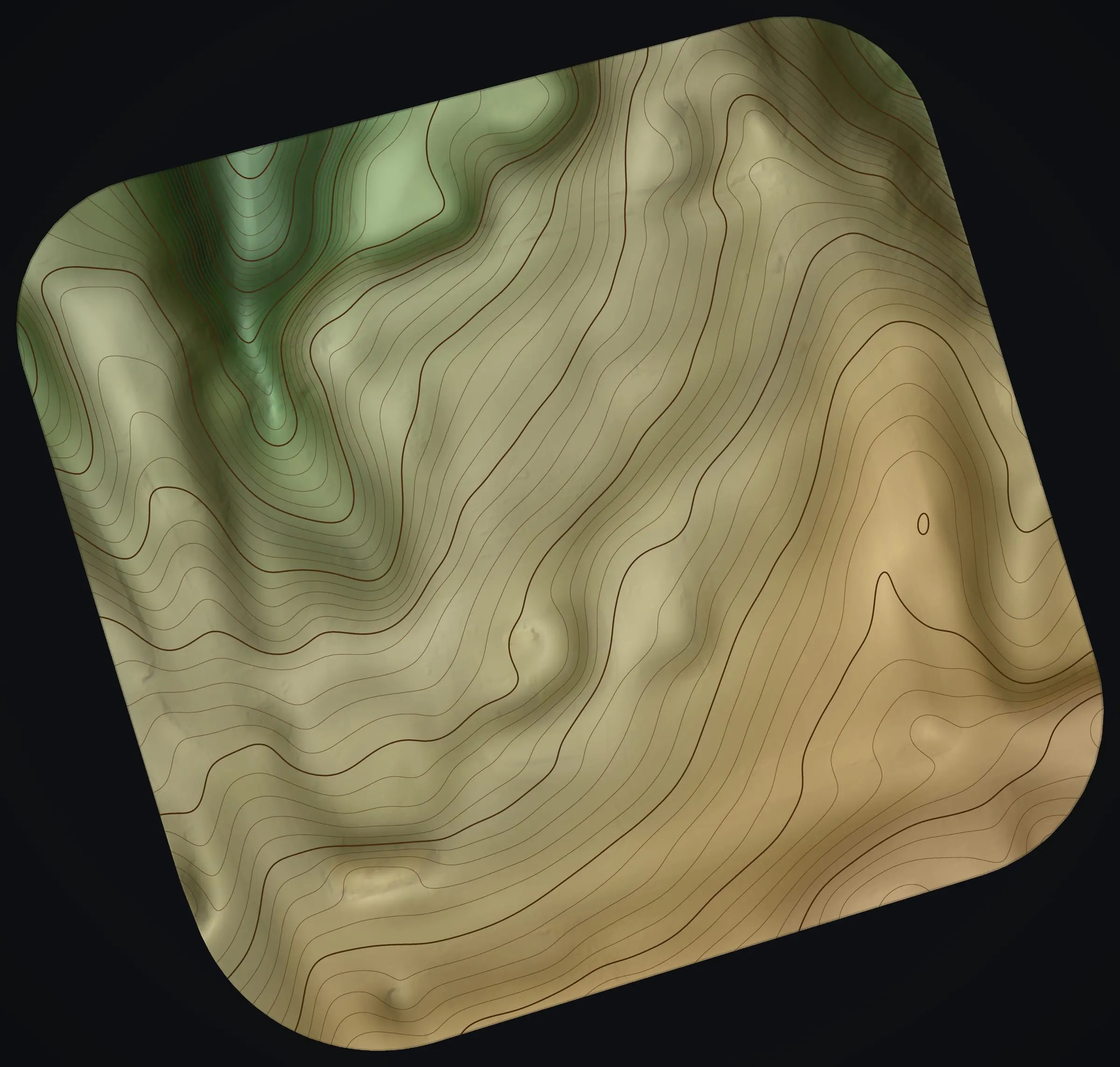
terrain · slope · contours
Land and terrain mapping
Land and terrain mapping for a few acres or a whole ranch: the terrain, slope, drainage and trees drawn into one picture of your land, even where the ground hides under forest.
Terrain you can read
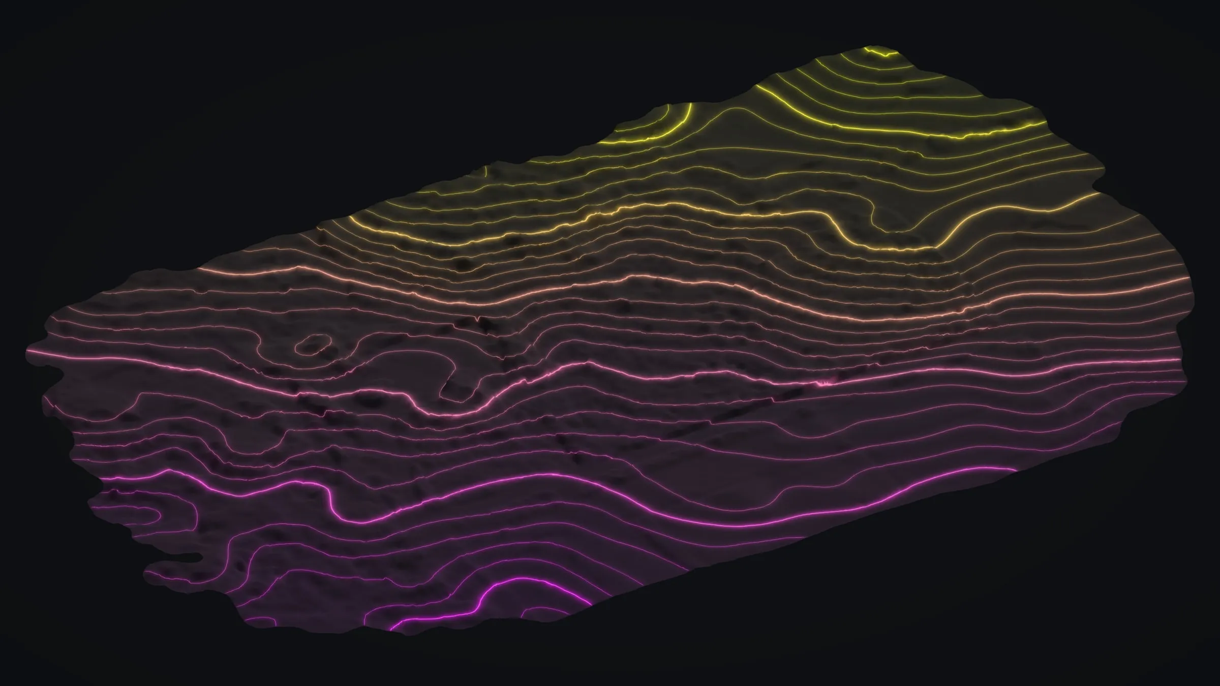
Bare earth, contours and slope, with the trees and roofs taken away.
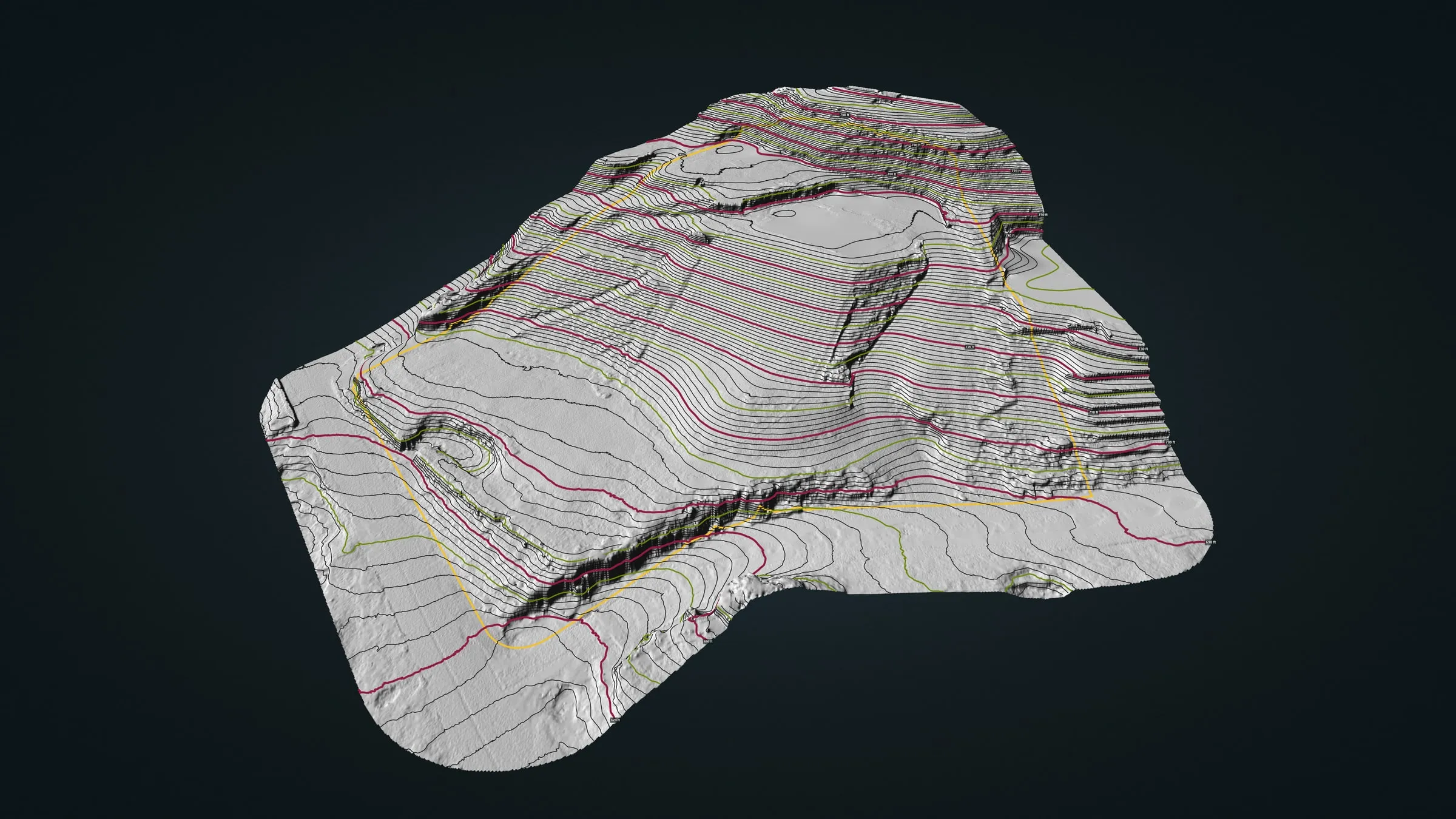
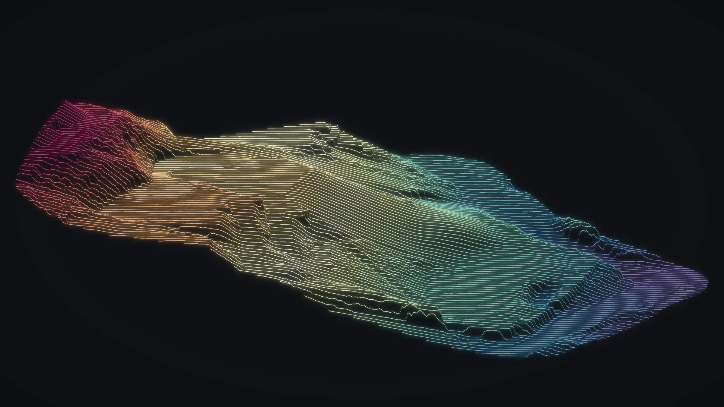
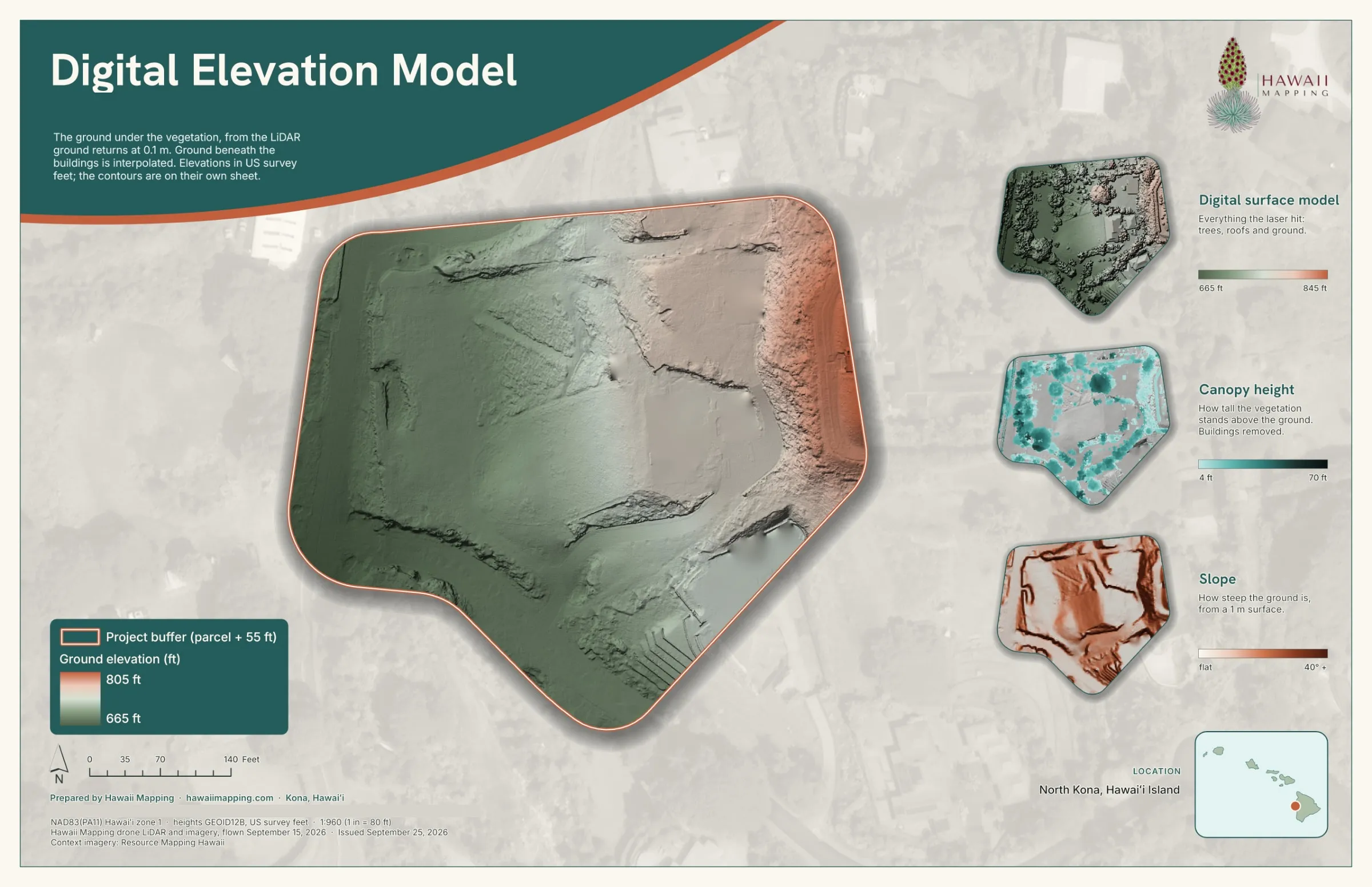

One clear picture of the property
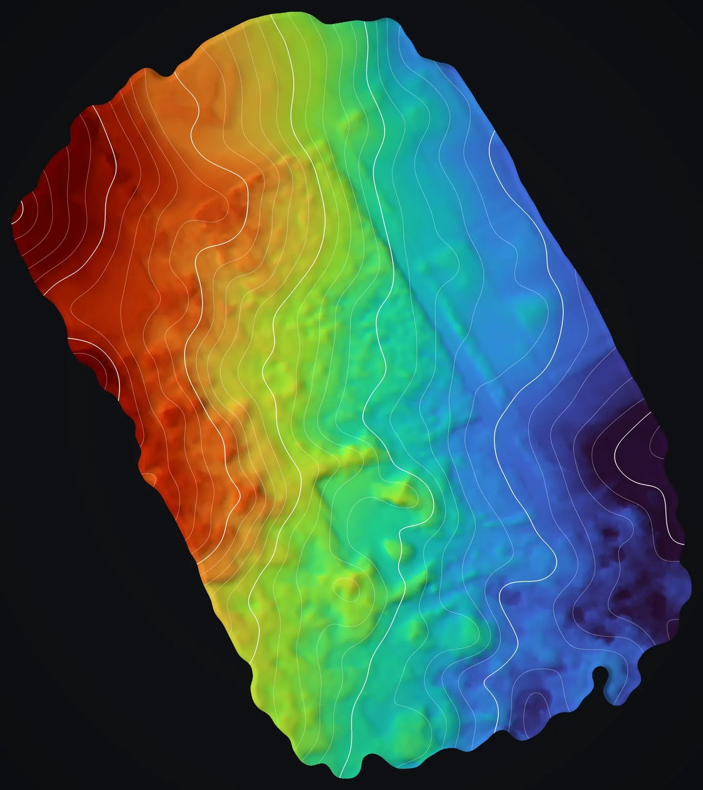
We combine high resolution imagery, bare earth terrain, contours and vegetation layers into maps, sheets and web maps that make a property legible at a glance. That supports site selection, access and drainage planning, farm layouts and conservation work. On a building site, the bare earth model and its contours are the topographic data that planning and early layout start from, drawn on the ground itself even where trees cover it. On a farm at Kēōkea in Kula, Maui, the ground falls about 310 ft across 105.5 acres, and after delivery the landowner marked a field and a home site on our sheets. See the Maui farm planning case study →
Under closed forest in Mountain View, the bare earth model shows 132 ft of relief across 68.7 acres. See the Mountain View case study →
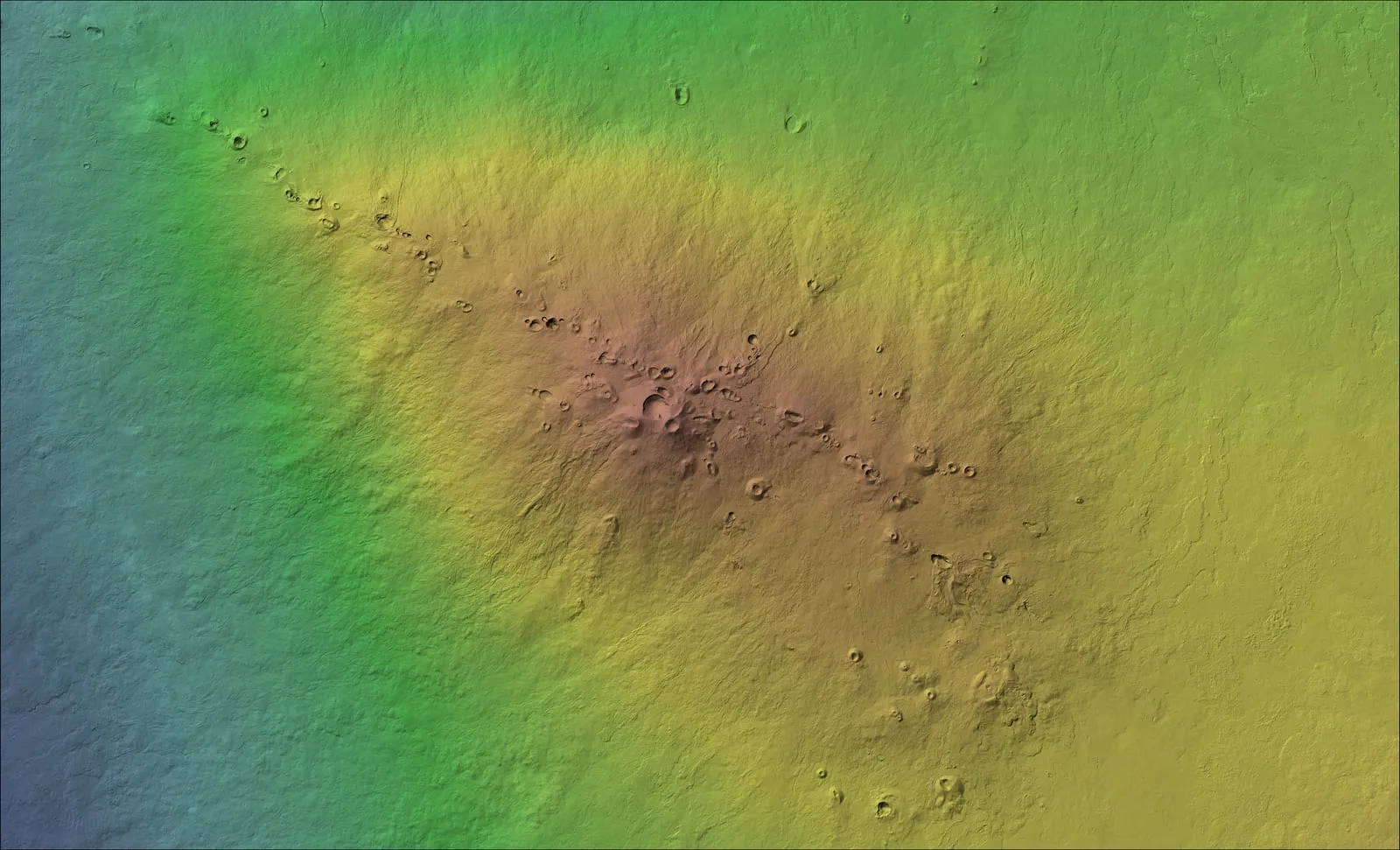
In Volcano, one flight mapped the lava ground under a forest and across the pasture beside it. See the Volcano forest case study →
A baseline to measure change against
Land doesn't hold still. A first flight records the ground as it is today, so erosion, new structures or storm damage can be measured against it on a later flight rather than guessed at. A sea cliff on the Big Island already has that first flight on file. See the cliffside erosion monitoring case study →
What we deliver
- Bare earth terrain models and contours
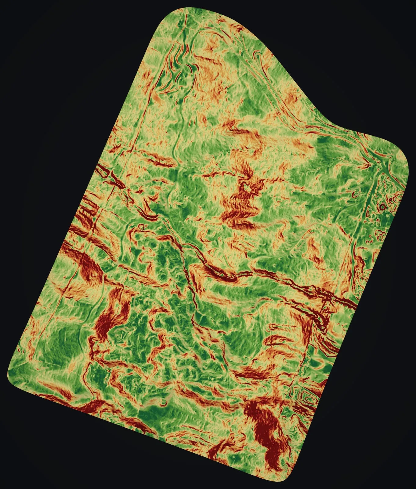
- Terrain and slope analysis
- Base maps of the whole property and GIS dashboards
- A baseline dataset for later comparison
- Map sheets for planning and agency review
Frequently asked questions
What does a land mapping project include?
Usually a bare earth model and contours, a hillshade, a canopy height layer where the trees matter, and map sheets or a web map of the whole property. Slope, and the paths water will take across the ground, can be drawn from the same bare earth model when your plan needs them, so tell us how you mean to use the land.
Can you track change over time?
Yes, starting with a baseline. We keep the flight plan and the processing settings, so the same ground can be flown again later and the two datasets compared.
Is this useful for ranches and large estates?
Yes. A larger property is a matter of more flights, planned to join into one dataset. The farm ground we flew at Kēōkea on Maui came to about 105 acres, and the trail corridor at Koaiʻa to 372.
Can your maps settle a property line?
No. Our maps and contours are made for planning and design, and they are not a land survey. Boundaries, legal elevations and anything recorded with the county need a licensed surveyor, the profession Hawaiʻi licenses under Chapter 464 of its Revised Statutes, and our data can sit alongside theirs.
Case studies and related services
Planning a farm or a home site?
Tell us the island and where the land lies, its rough size and what you hope to build or grow there. Our reply covers the flight, the maps you would get and a price.