
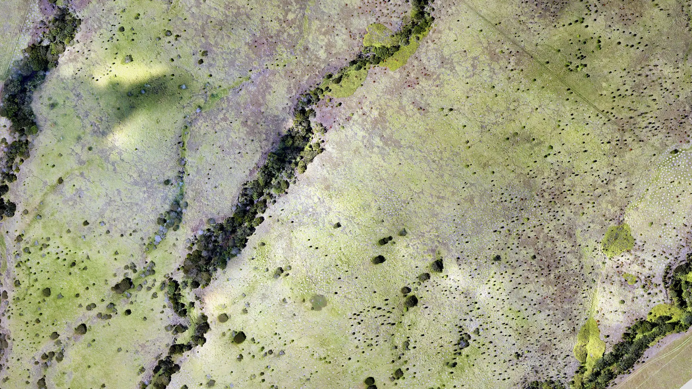
orthomosaics · contours · 3D
Drone mapping and orthomosaics
Drone mapping for sites across Hawaiʻi: sharp orthomosaics, contours and 3D terrain, processed into files you can measure on, draw on and build a plan around.
Maps from the air, as delivered
Sheets you can print, photo mosaics and slope, straight from delivered packages.
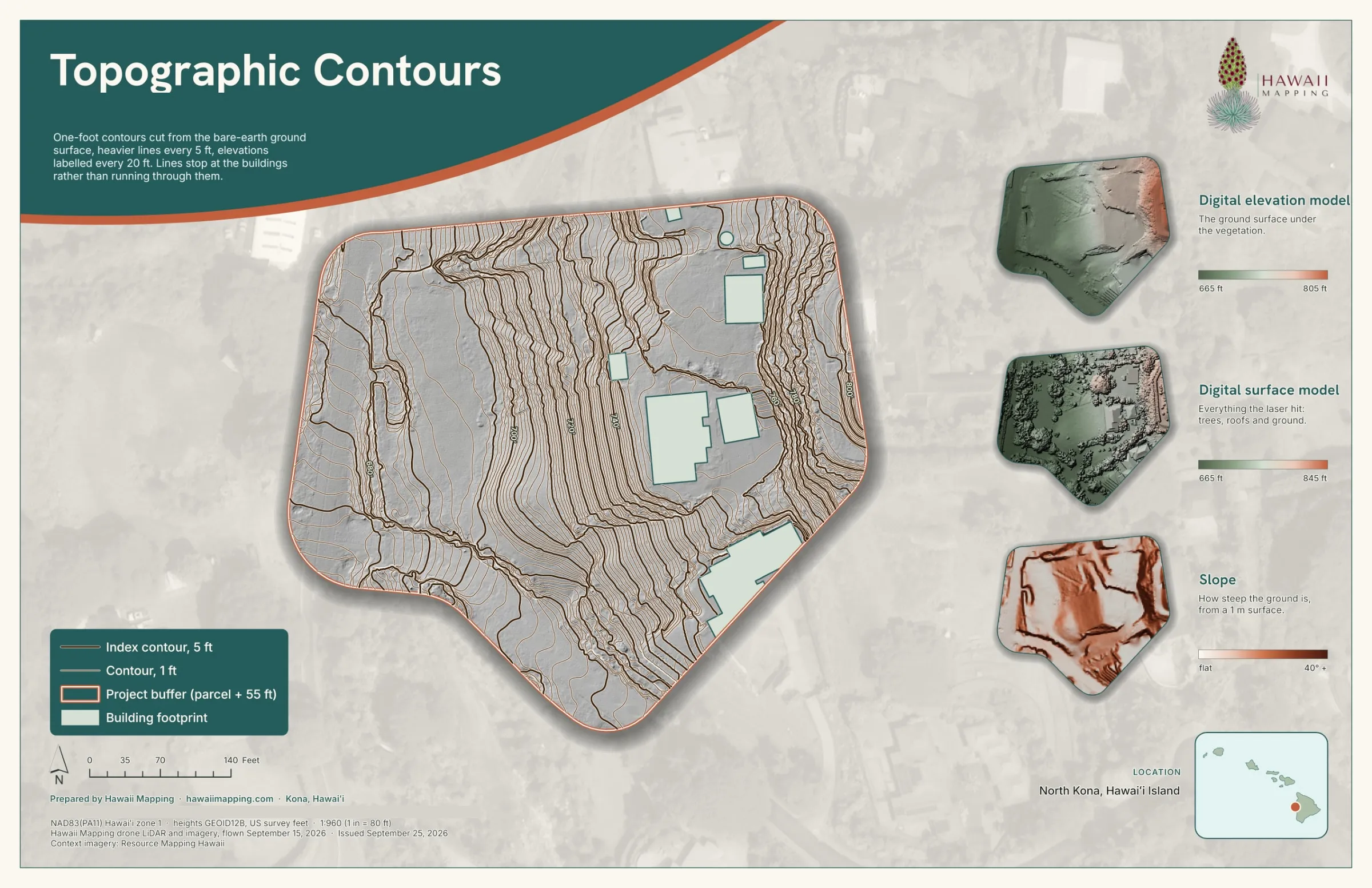
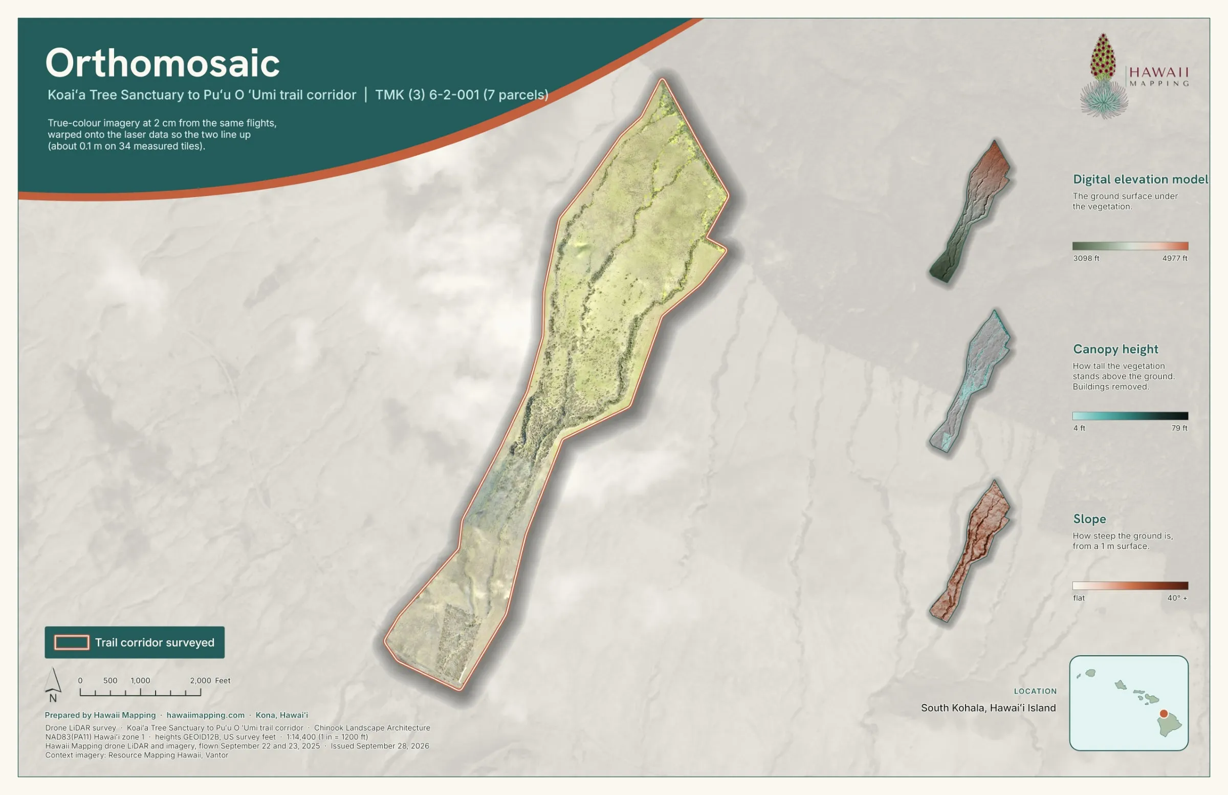
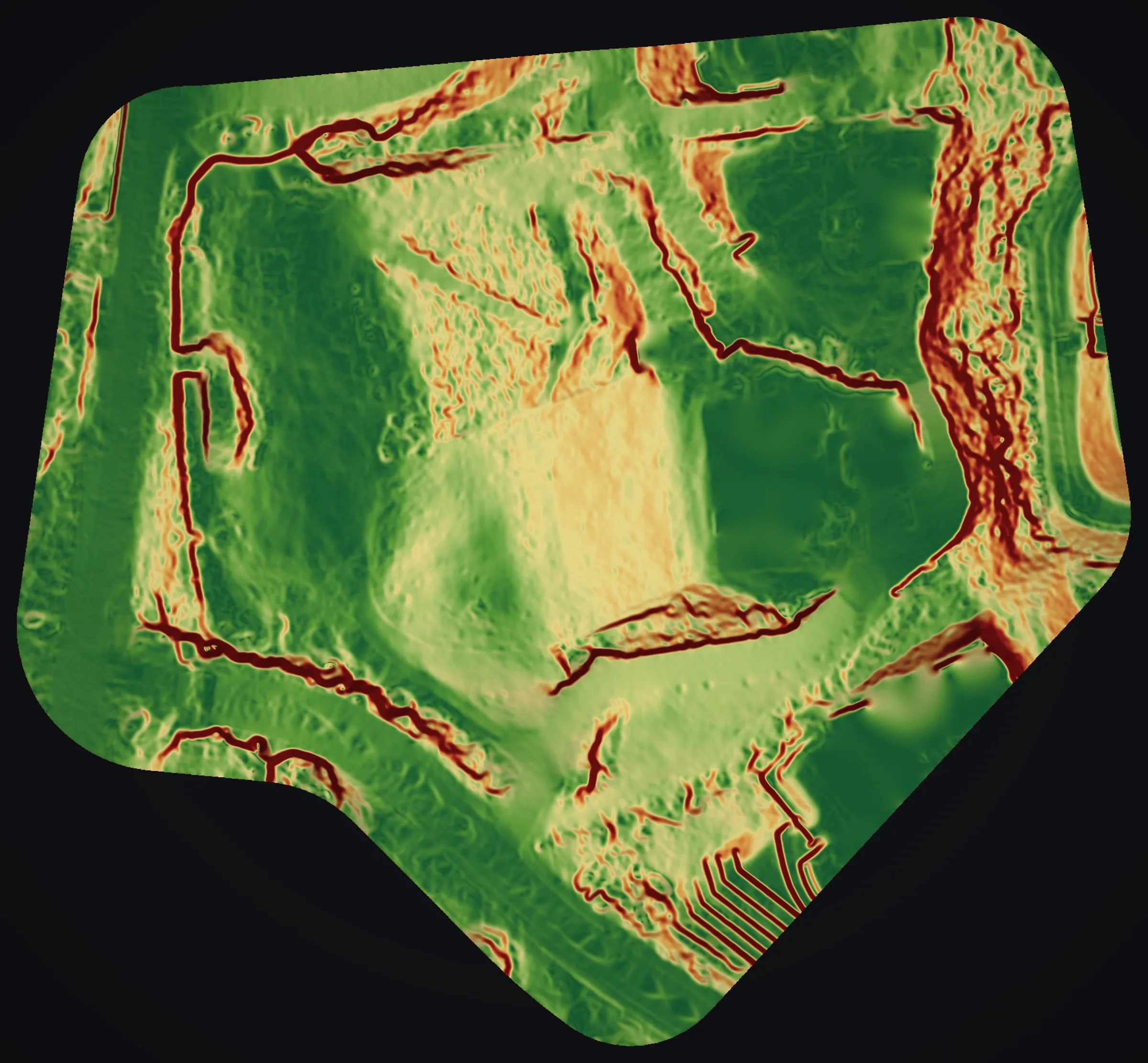
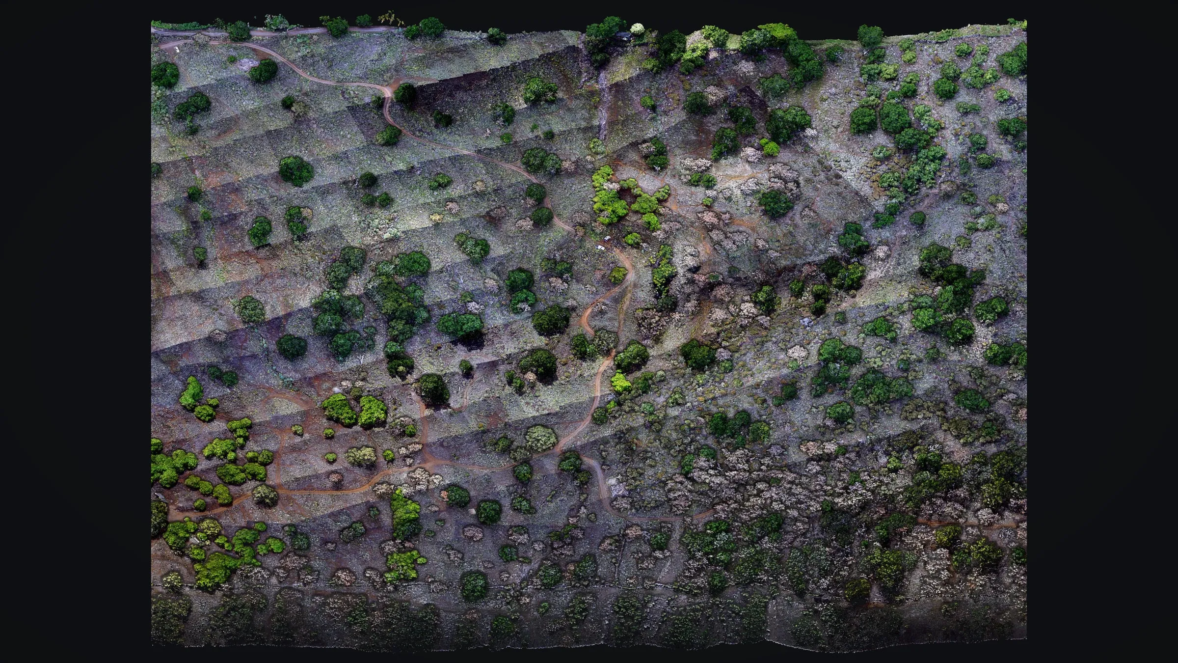
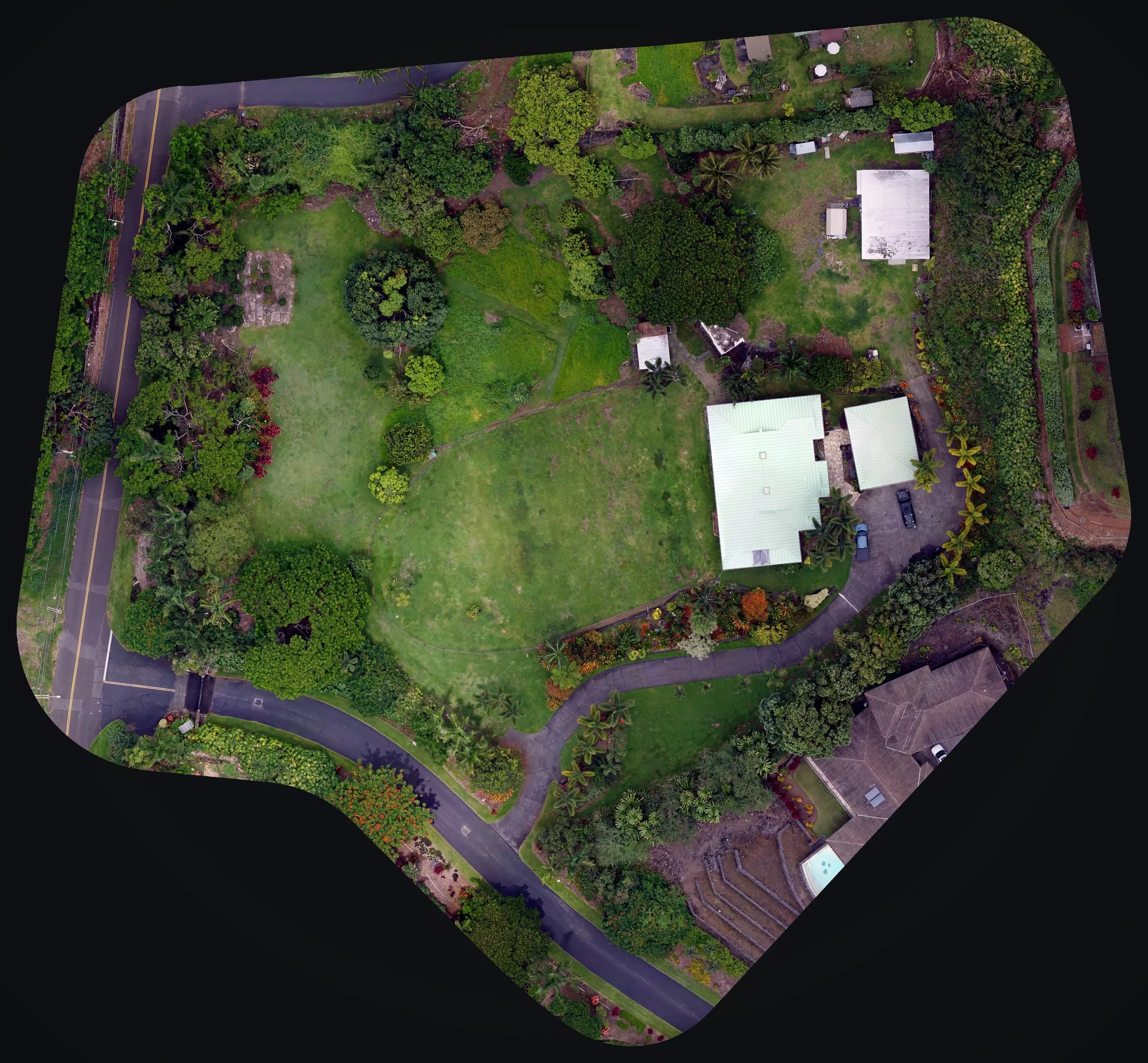
From flight to usable map
We plan each flight around the deliverable you need and the realities of the site: terrain, canopy, airspace and Hawaiʻi's fast changing trade wind weather. The orthomosaic and 3D terrain that come back are a dated record of the ground, one you can return to for site planning, early design and monitoring.
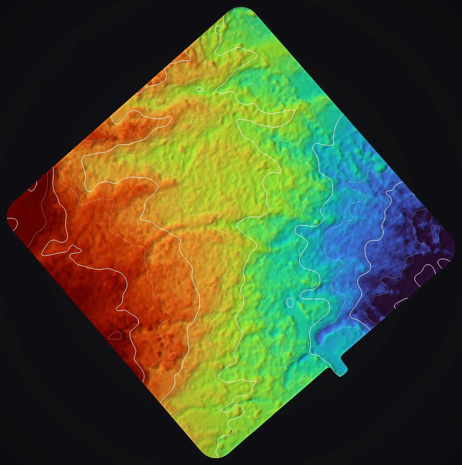
Contours, terrain and detail
The orthomosaics from our Maui farm flights in August 2025 have a pixel of 1.7 cm on the ground at Kēōkea in Kula and 1.2 cm at Haʻikū. See the Maui farm planning case study →
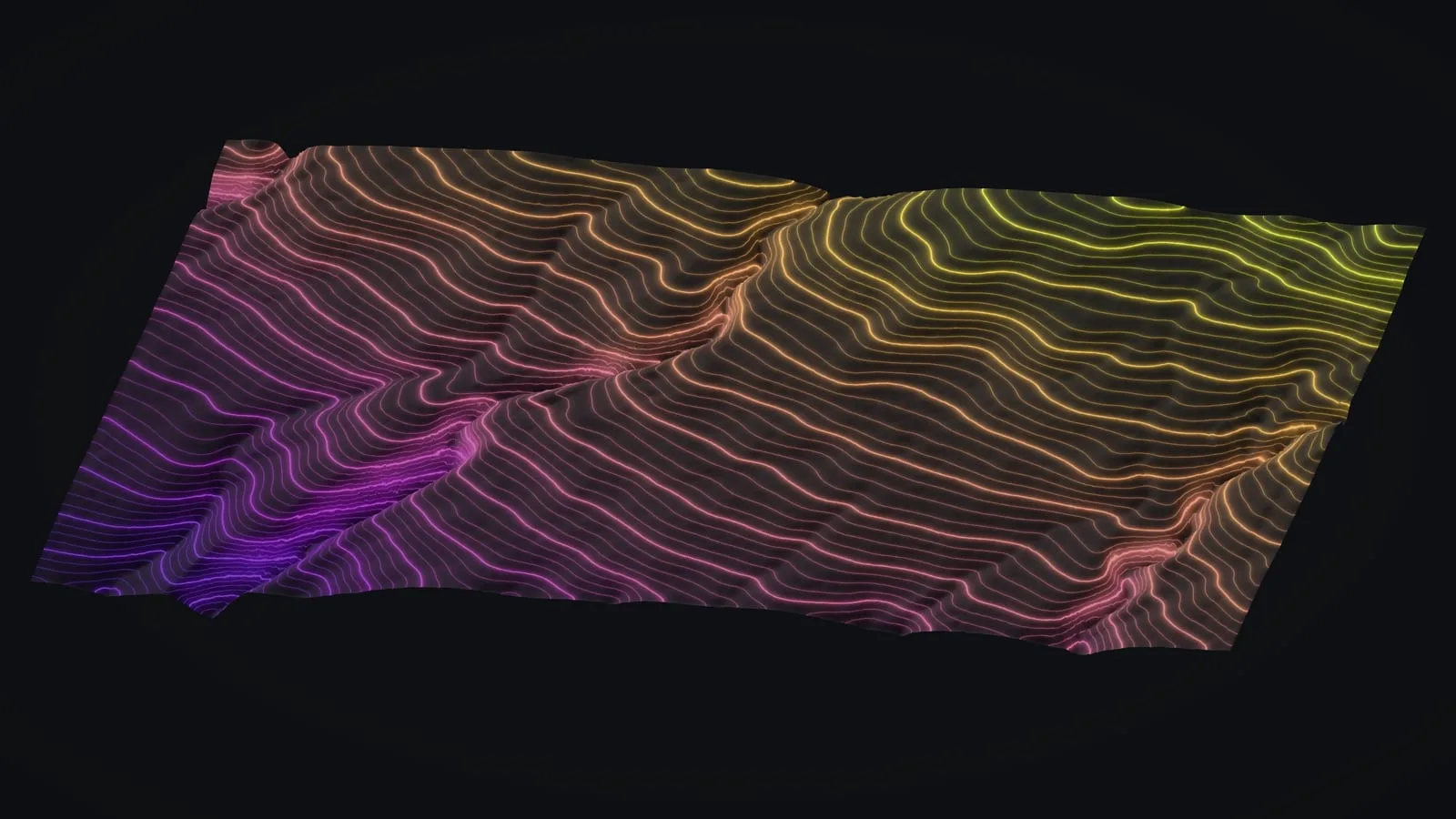
Where the ground hides under trees, a camera cannot see it and drone LiDAR takes over: on a forested lot in Mountain View it gave 1 ft contours, delivered as AutoCAD DWG in two versions, DXF and shapefile, the formats a design team opens.
What we deliver
- High resolution orthomosaics and 3D terrain models
- Contours at the interval you need, in CAD and GIS formats
- Digital surface (DSM) and terrain (DTM) models
- Earthwork and stockpile volume calculations
- Map sheets sized for print and review
Frequently asked questions
What is the difference between an orthomosaic and a 3D model?
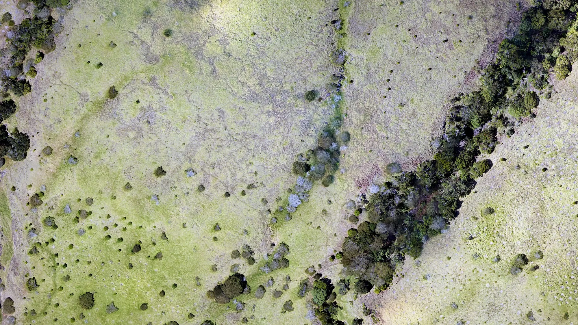
An orthomosaic is a single aerial map, corrected for lens and terrain distortion, that you can measure on; a 3D model captures the site’s shape and volume. Many projects use both.
How much detail will the map show?
The pixel size is set by how the flight is planned: our Maui farm orthomosaics came out at 1.7 cm on the ground at Kēōkea and 1.2 cm at Haʻikū, and contours come every foot or at the interval you ask for. How closely the map sits on real world coordinates depends on how the flight is tied to the ground, on our jobs usually with a GNSS base logged on site, and we do not quote an accuracy figure that has not been measured on your job. Our maps support planning and design; they are not a land survey, and a boundary or a legal elevation needs a licensed surveyor.
Can you calculate stockpile or earthwork volumes?
Yes. Stockpile, cut and fill volumes can be computed from the surface model, and a second flight over the same ground shows what has changed since the first.
Which islands do you fly?
Every main island, Hawaiʻi Island to Kauaʻi, including Molokaʻi and Lānaʻi. Kahoʻolawe and Niʻihau we fly only when invited. Our base is Kona, where the drone waits ready to go, and for a site on another island we can be there quickly, the same day if the job needs it. Tell us the island when you ask for a quote.
Case studies and related services
Need your site mapped from the air?
Tell us which island and where on it, about how many acres, and the coordinate system and CAD format your drawings use. We will reply with the flight, the files and the price.