
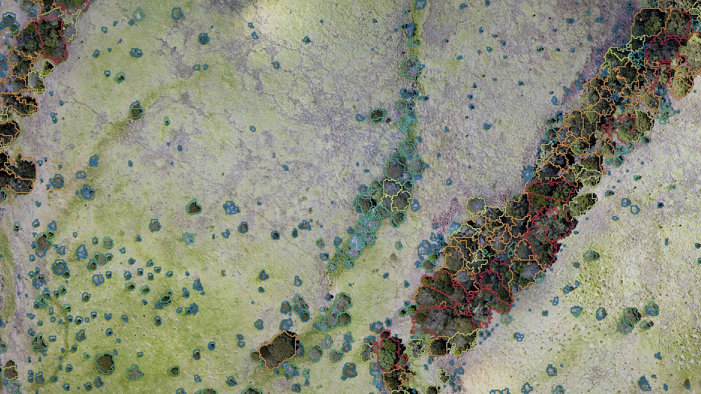
canopy · crowns · power lines
Forestry and vegetation mapping
Forestry and vegetation mapping from drone LiDAR, from single tree crowns to whole hillsides: what is growing, how tall it stands and how close it has come to the power lines. It is the data foresters, landowners and utility tree crews act on.
Every tree, measured
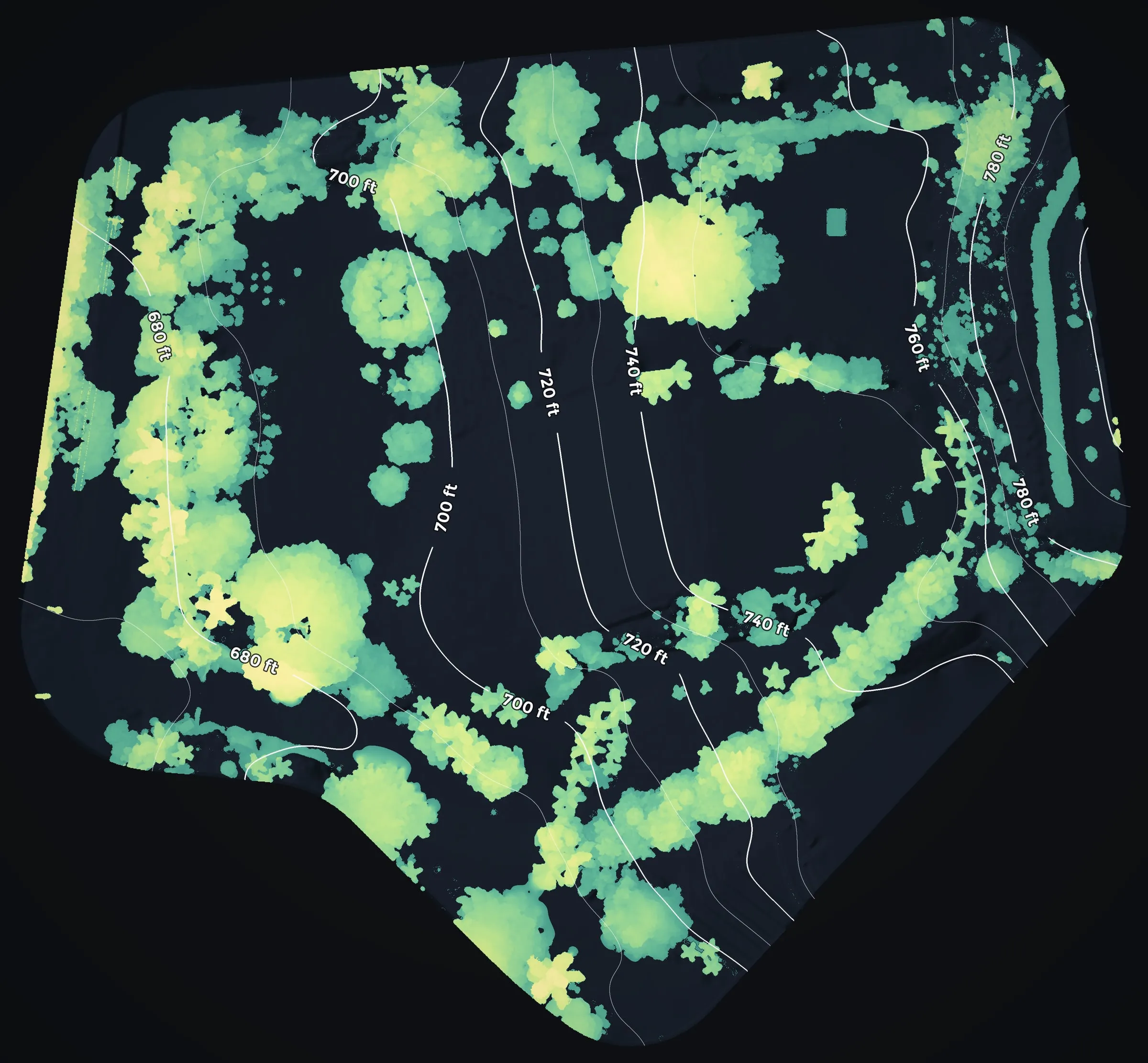
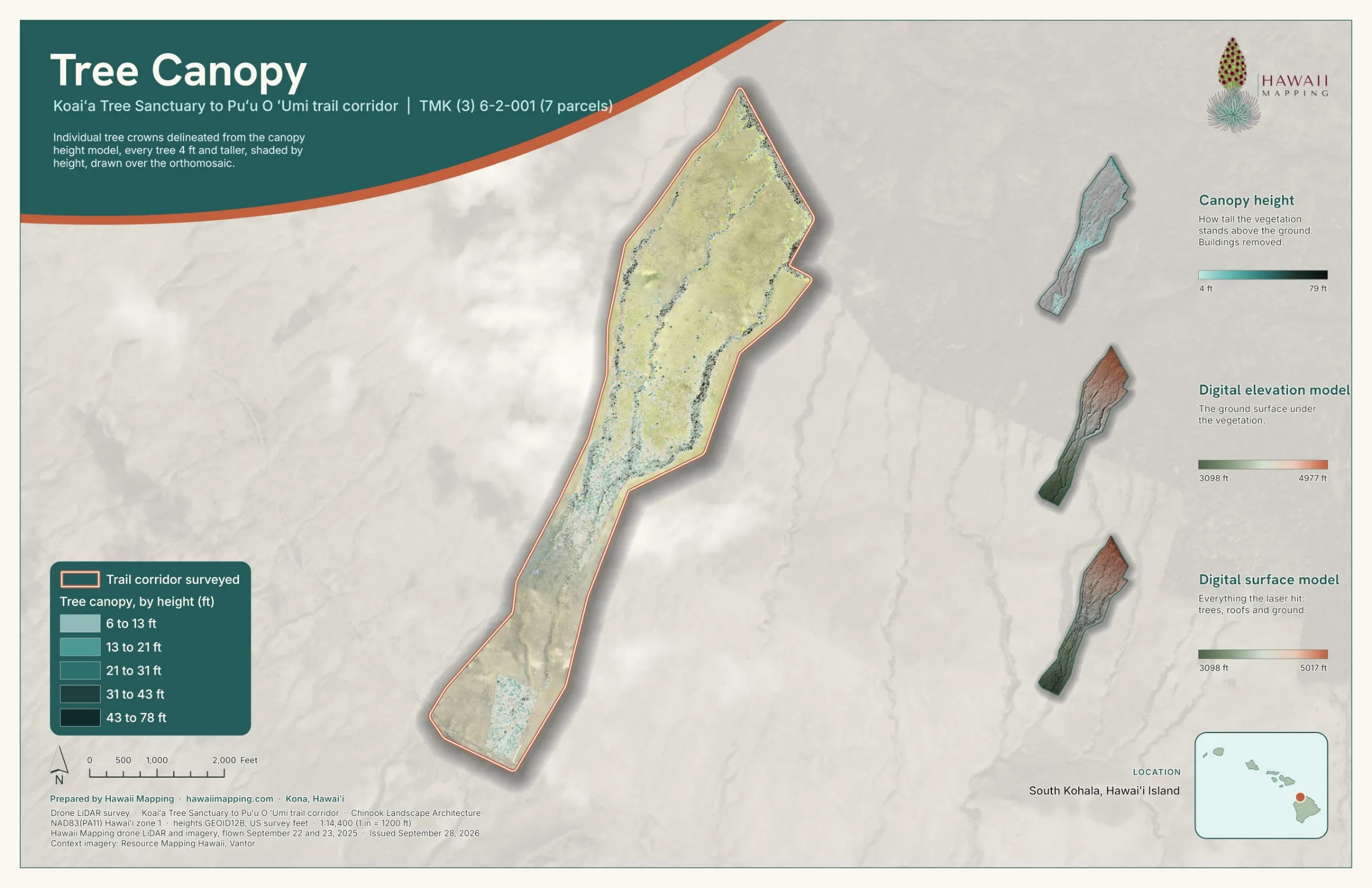
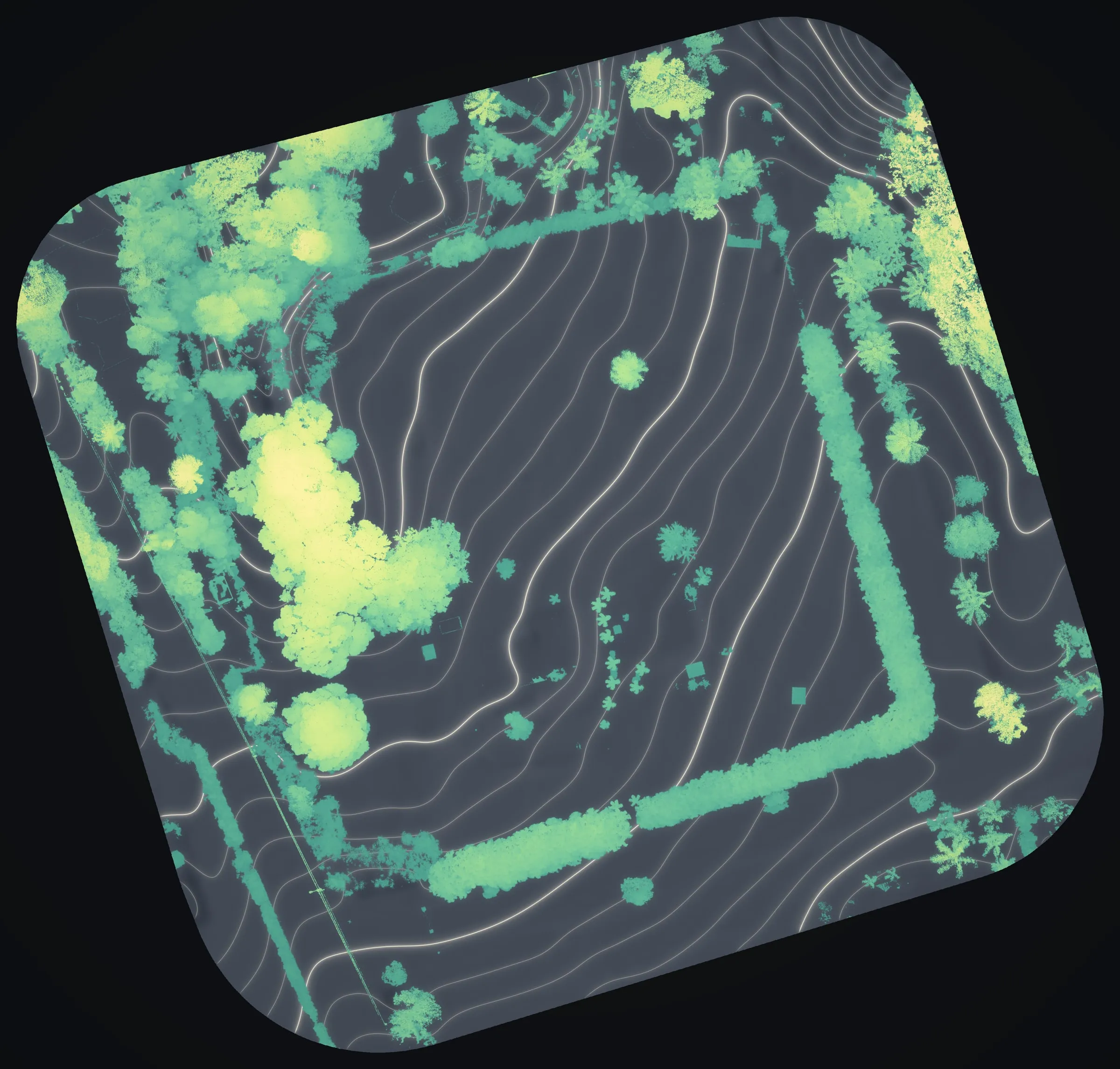
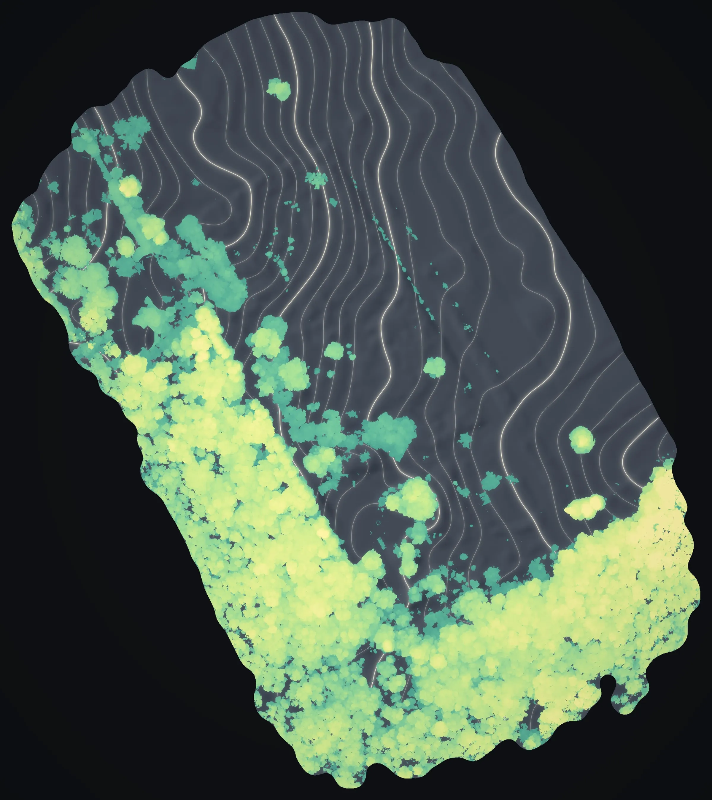
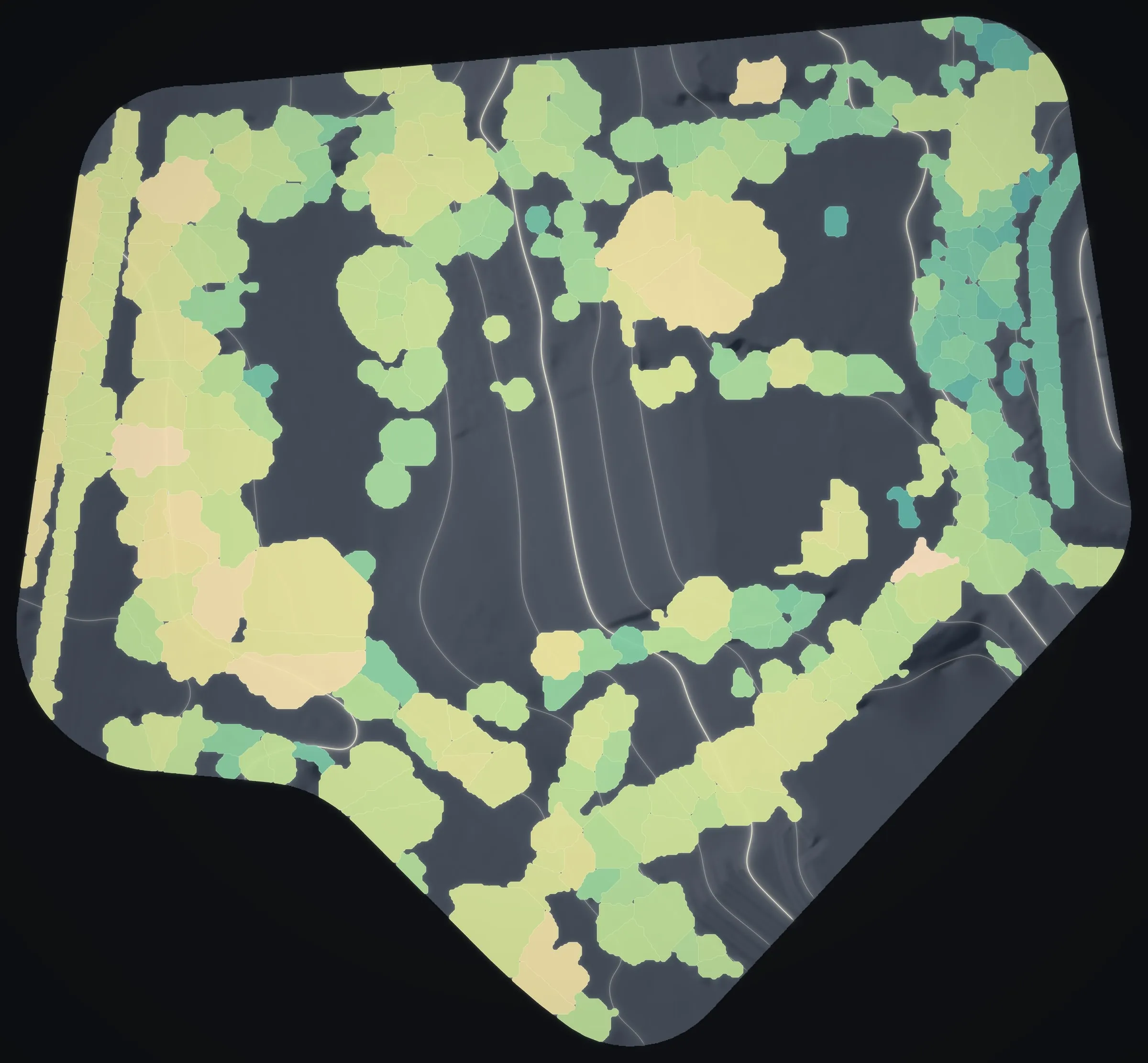
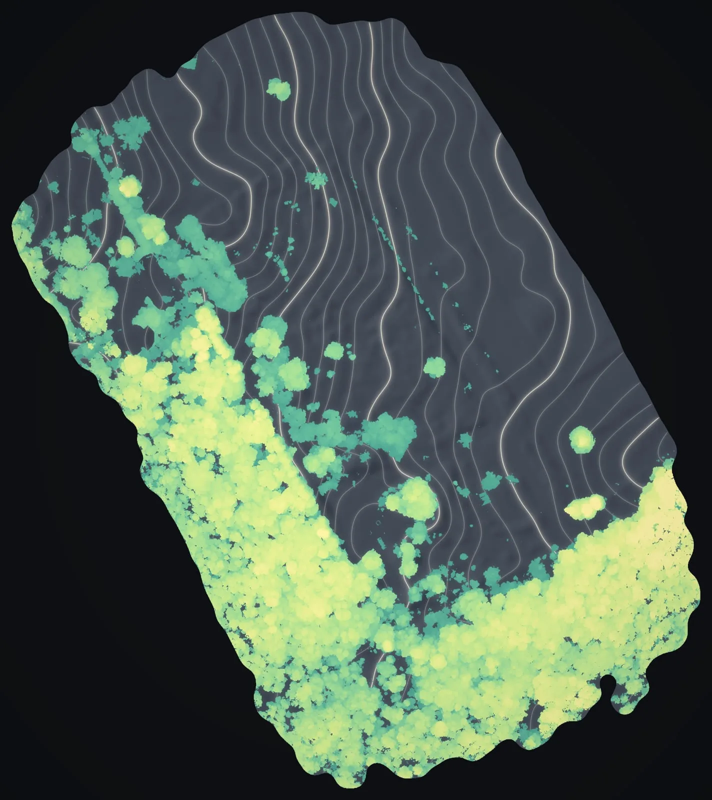
Canopy height and crowns, flat and colored by how tall each tree stands.
Canopy height and tree crowns
Drone LiDAR measures the height of the canopy across a whole stand and lets us outline individual trees. Across 372 acres of forest and pasture at Koaiʻa, high on the Kohala slopes, that meant 34,336 crowns outlined and 34,513 treetops located. On a forested parcel in Volcano, 42% of the flight lay under canopy taller than 6 ft. Multispectral cameras, which read plant stress in bands the eye cannot see, can be flown on request.
Vegetation near power lines
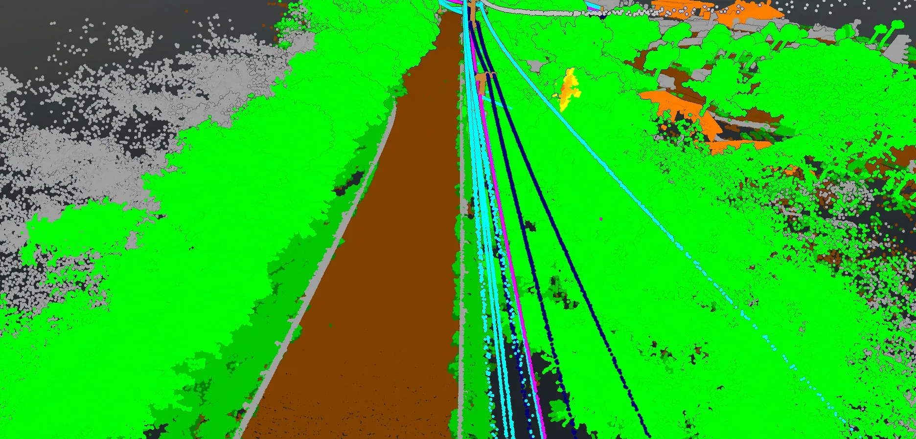
Trees growing into power lines are an outage and wildfire risk. We fly utility corridors with drone LiDAR and flag vegetation by its distance to the lines, so tree crews know which spans need work. We do this for Big Island Tree Service on Hawaiian Electric's Hawaiʻi Island lines, and most of the corridor miles flown so far are in Tier 3, the utility's top fire risk class. More on our wildfire mitigation mapping →
What we deliver
- Canopy height models
- Individual tree crowns and treetop points
- Vegetation flagged by its distance to power lines
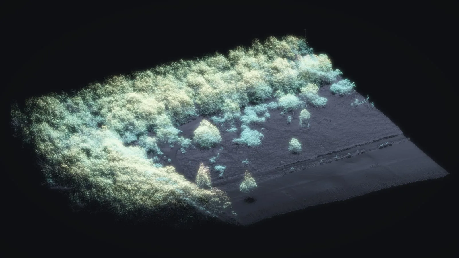
- Point cloud views and a 3D viewer for vegetation managers
Frequently asked questions
What forestry deliverables do you provide?
The height of the canopy as a raster, an outline for each tree crown with its height, a point at each treetop, and vegetation flagged by its distance to a power line, all in the GIS formats your team already opens.
Can you map vegetation near power lines?
Yes, it is active work for us. Drone LiDAR shows each tree against the conductors, and a flag marks vegetation within a set distance of the lines, so a crew can go straight to the spans that need trimming.
How do you measure tree height and canopy?
With drone LiDAR. The returns that reach the ground give the bare earth, the first returns give the top of the canopy, and the difference between them is the height of the canopy at each point. From that we outline individual crowns.
Can you tell tree species apart?
Not from LiDAR alone. LiDAR gives height and crown shape; telling species apart needs the photograph, a multispectral flight or someone on the ground, and we say up front which your job needs.
Case studies and related services
Trees closing in on your lines?
Send the circuits or line miles, whether they are transmission or distribution, the clearance your spec calls for and when your report is due. For a forest stand, the acreage and the question you need answered will do.