
GIS · analysis · applications
GIS consulting and dashboards
GIS consulting for teams across Hawaiʻi: the analysis, web maps, dashboards and field apps that turn geospatial data into answers, in front of the people who make the call.
Maps, reports and apps we have built
From printed sheets to dashboards that run themselves.
Spatial analysis that answers a question
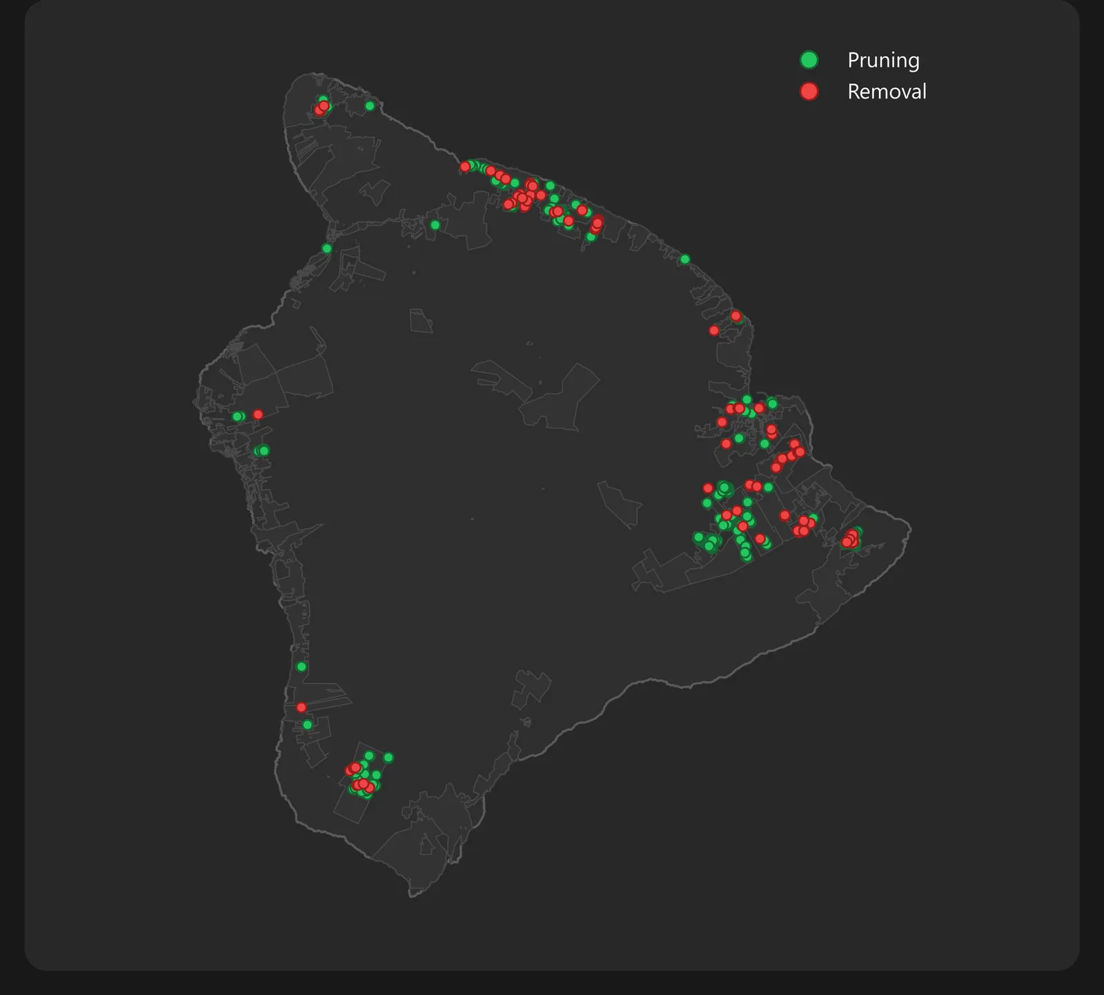
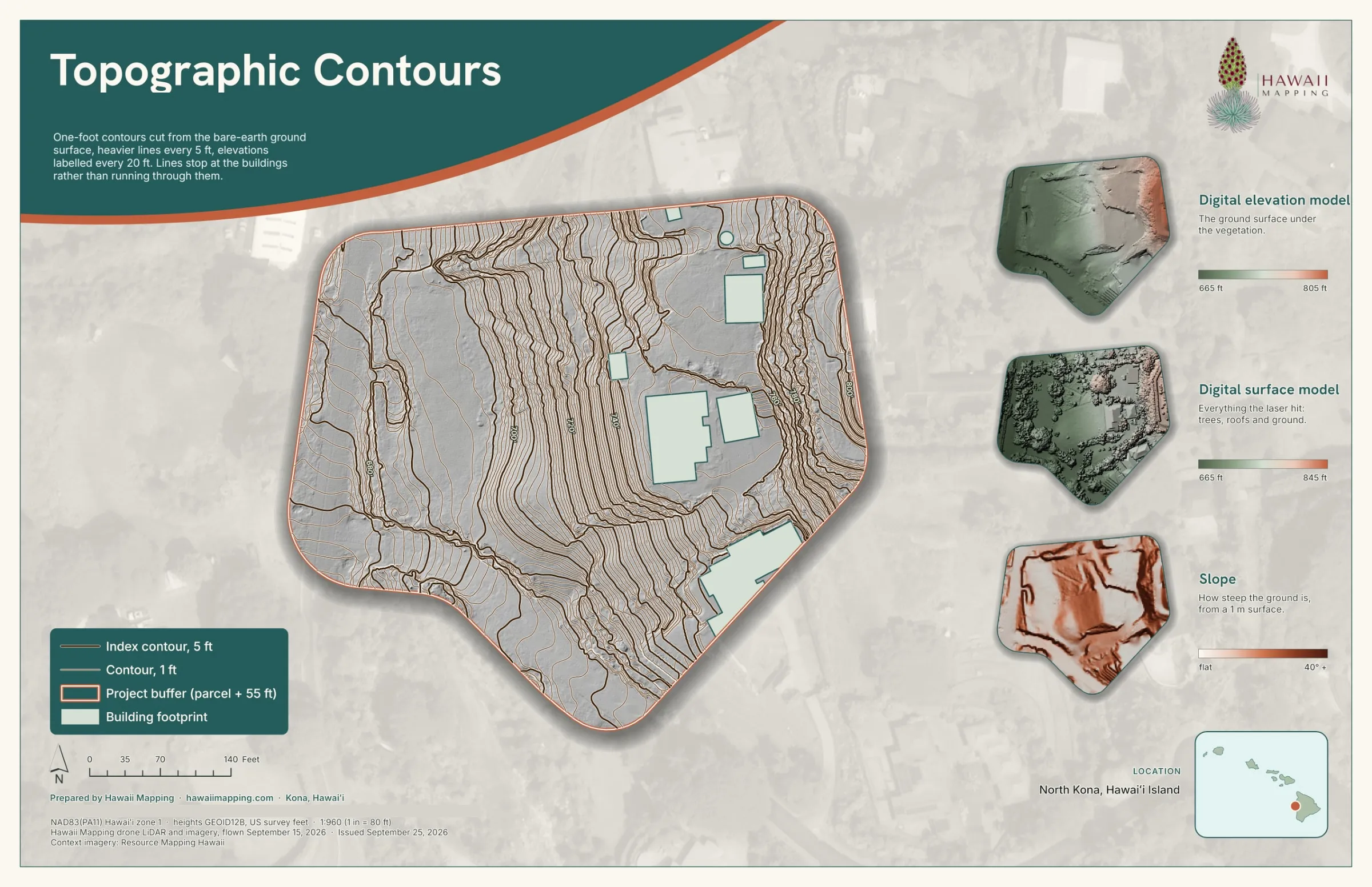
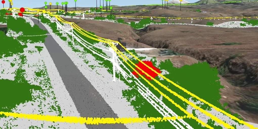
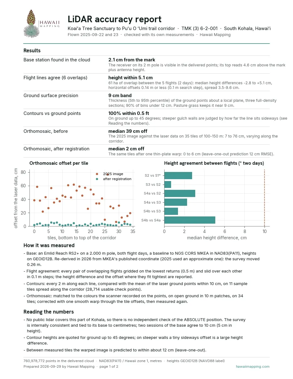
Every job starts with the decision you need to make, not the software. Siting infrastructure, planning vegetation work near power lines, modeling drainage or comparing a property before and after a change: we structure the data, run the analysis and write down the method, so the answer holds up with engineers, agencies and the public.
Web maps, dashboards and custom apps
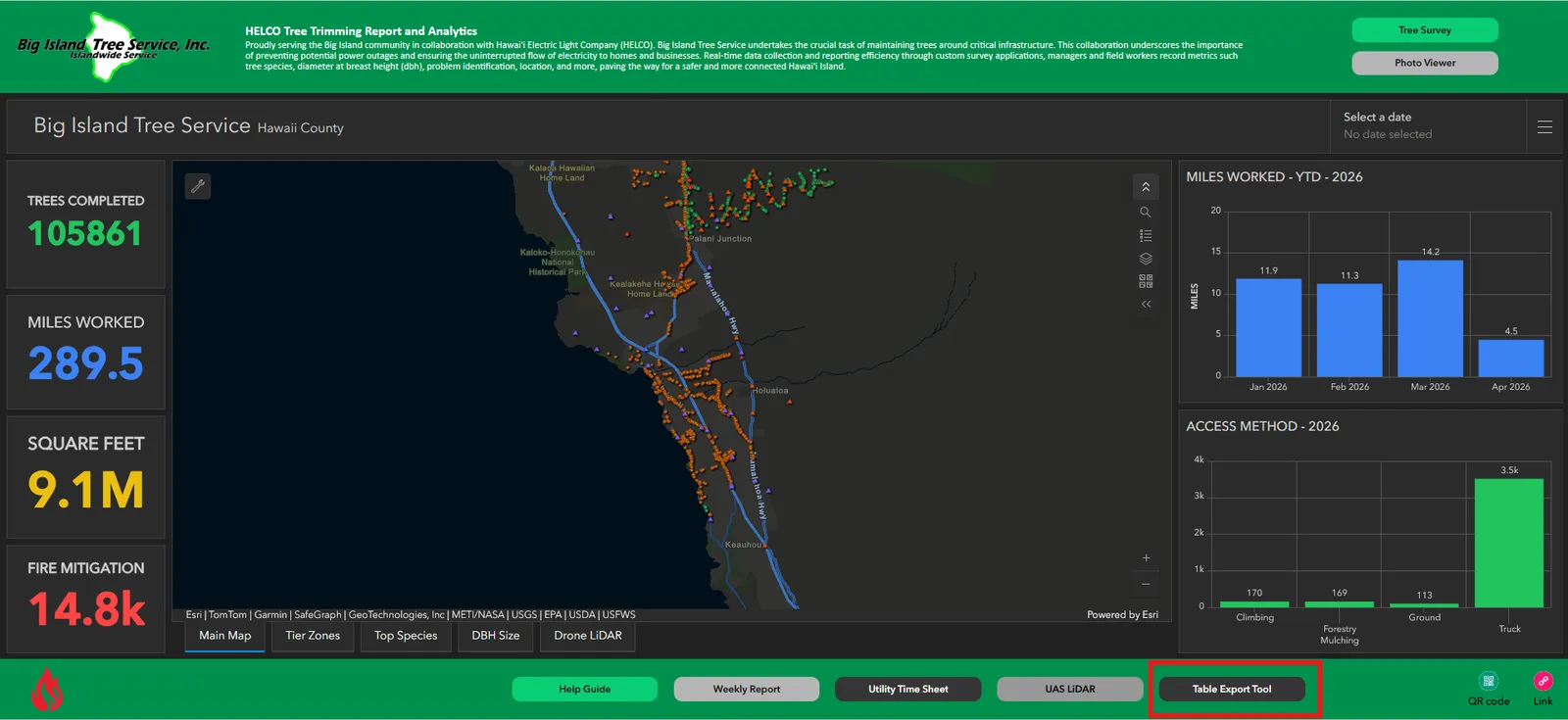
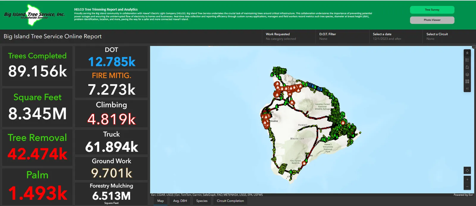
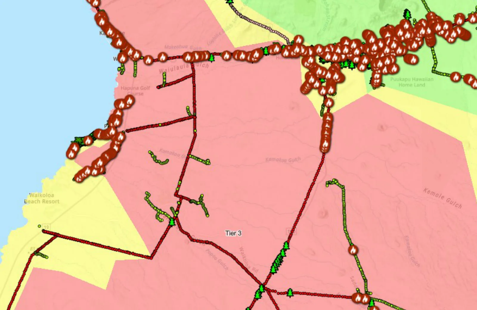
We build web maps and live dashboards a whole organization can read, and custom apps, including programmed Survey123 forms and 3D viewers, when no off the shelf tool fits. For Big Island Tree Service's island wide vegetation program we built the whole pipeline: tablet forms in the field, the dashboards they feed, and a monthly report for the utility that assembles itself on the first of the month. Its six scheduled runs, April to September 2026, all completed. Read the vegetation management case study →
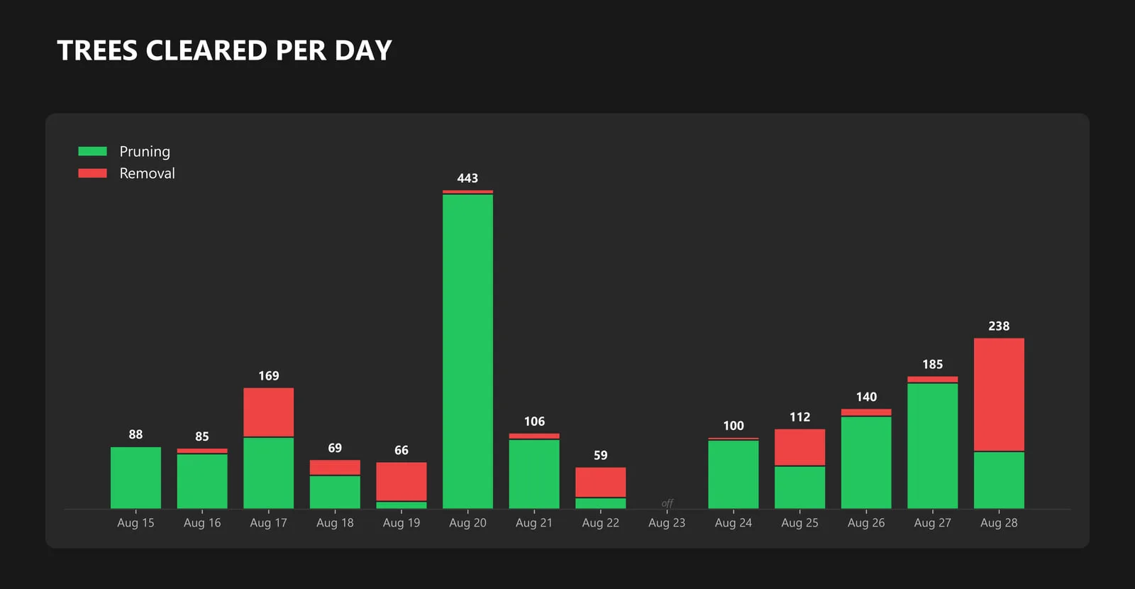
The same program split 2,067.4 miles of primary overhead line into 90,637 sections so the crews' work can be credited span by span. And when Hurricane Lala brought storm damage in August 2026, we reconciled the crews' storm records into one report: 1,860 trees over 13 days of storm work. Read the Hurricane Lala case study →
What we deliver
- Spatial analysis with clear, documented methods
- Interactive web maps and operational dashboards
- Custom application and Survey123 field form development
- Data cleanup, geodatabase design, and integration
- Map products and reports your stakeholders can read
Frequently asked questions
Do I need ArcGIS to work with you?
No. We work in Esri’s tools, Survey123 and ArcGIS dashboards among them, and in open formats, and we deliver maps, data and apps in whatever your team can open.
Can you build a custom dashboard or field app?
Yes. We design web maps, live dashboards and programmed field data apps, and we run the whole field to dashboard system for an island wide tree crew program on Hawaiʻi Island.
Can you clean up or organize our existing GIS data?
Yes. Data cleanup, geodatabase design and joining datasets that were built apart are a core part of our consulting work.
Do you need to be on site?
Rarely, for the GIS work itself. Analysis, dashboards and reporting run over shared web maps and calls, so we work with teams on any island from Kona. When a job needs field data or a flight, we come to you.
Case studies and related services
Need a dashboard or a report that runs itself?
Send what your team collects today and where it is kept, who reads the result, and the date the first report is due. We will sketch the build and put a price on it.