
Case study · utility corridors
Power line corridor LiDAR for wildfire mitigation
Working as the drone LiDAR division of Big Island Tree Service, the vegetation contractor on Hawaiian Electric's Hawaiʻi Island system, we fly power line corridors and flag the trees and brush closing in on the wires. We have logged 60+ miles flown, most of them inside the utility's highest fire risk tier.
The corridors, point by point
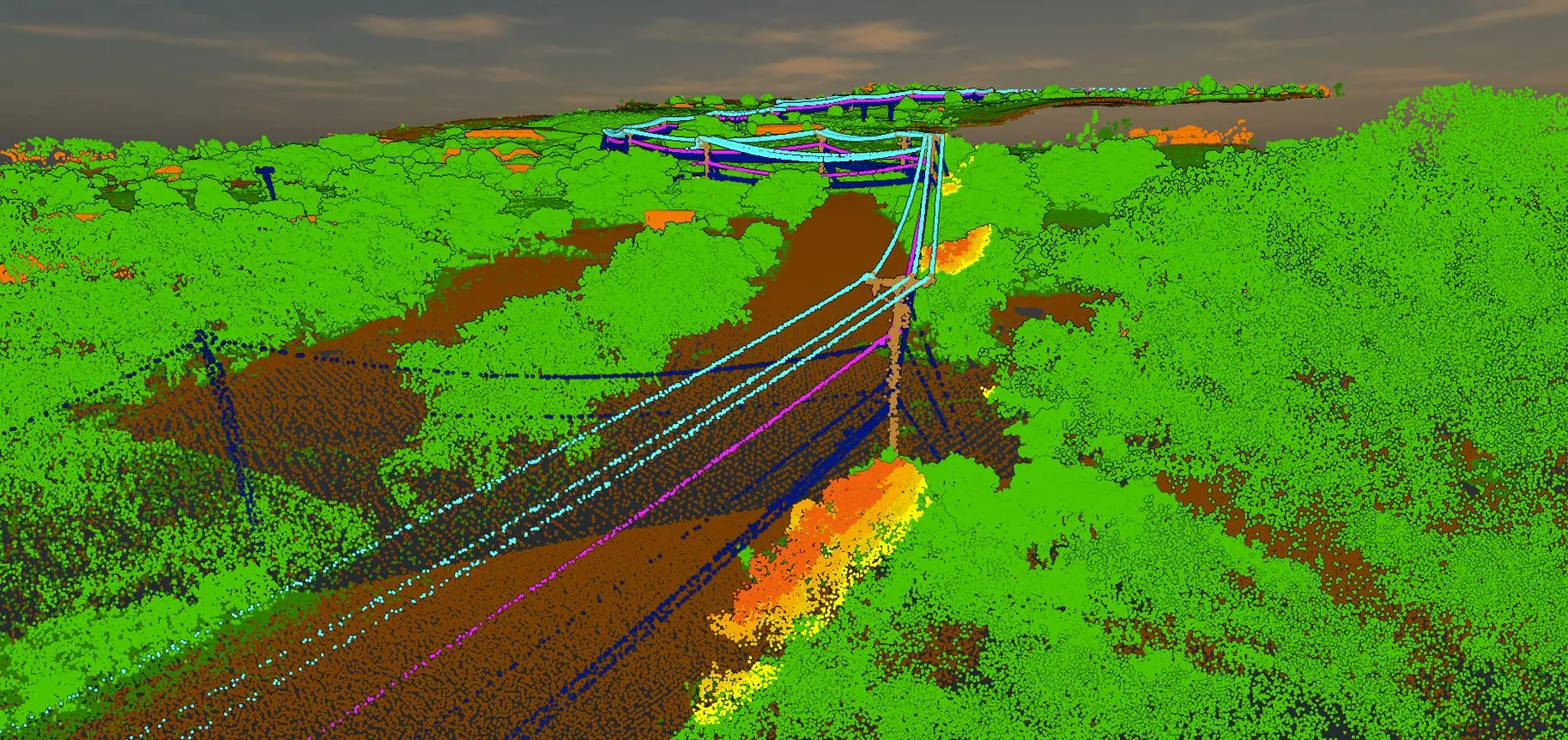
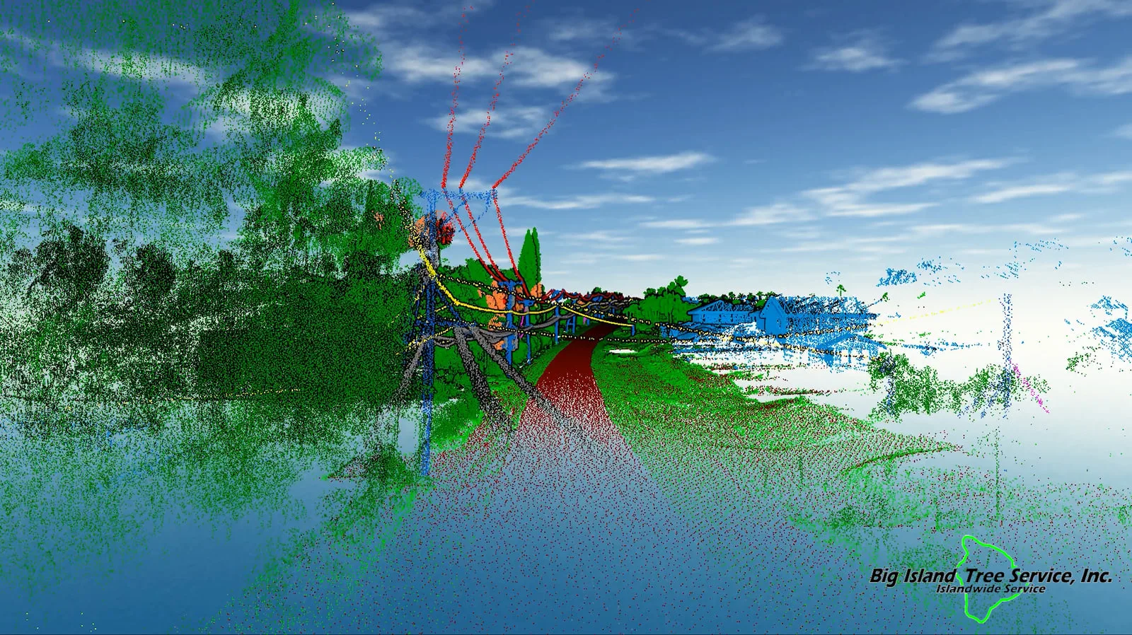
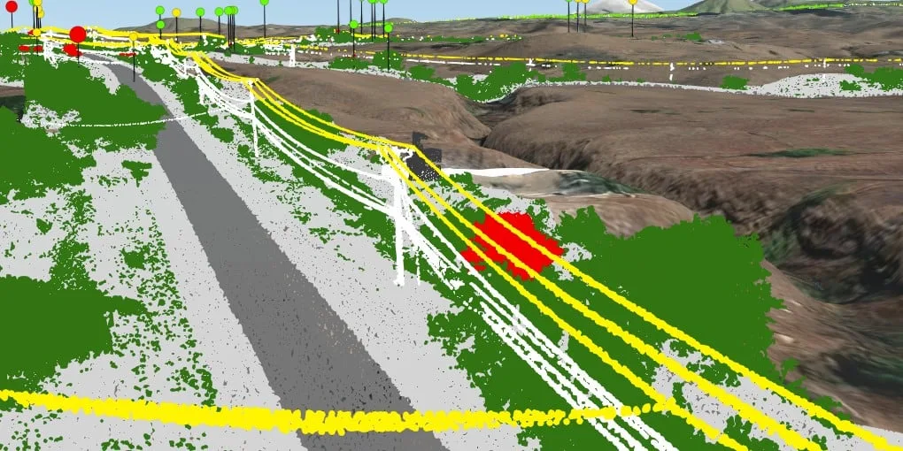
Vegetation flagged by how close it comes to the wires.
The problem
A tree that grows into a power line can spark a fire or knock out service. In the dry country of west Hawaiʻi Island the lines stretch for miles across rough ground where walking every span takes a long time, and a vegetation crew wants to know which spans need work before its trucks head out.
What we flew
Big Island Tree Service is the client. Under our agreements with it we fly as its drone LiDAR division, on the corridors of Hawaiian Electric's Hawaiʻi Island system:
- 2024: Aliʻi Drive in Kona, a demonstration flight
- 2025: Kawaihae, the coast north of Kawaihae and Waikoloa, in 10 drone LiDAR captures
- 2026: Kawaihae and the coast north of it again, then Waikiʻi, the Kohala Mountain Road and Lālāmilo, in 44 captures
Most of it sits in Tier 3, the utility's highest fire risk class: 13.25 of the 13.26 corridor miles flown in 2025, and 29.0 of the 47.5 miles planned for 2026. Count the stretches flown more than once and the total passes 60 miles flown. See how this work fits our wildfire mitigation mapping →
What we delivered
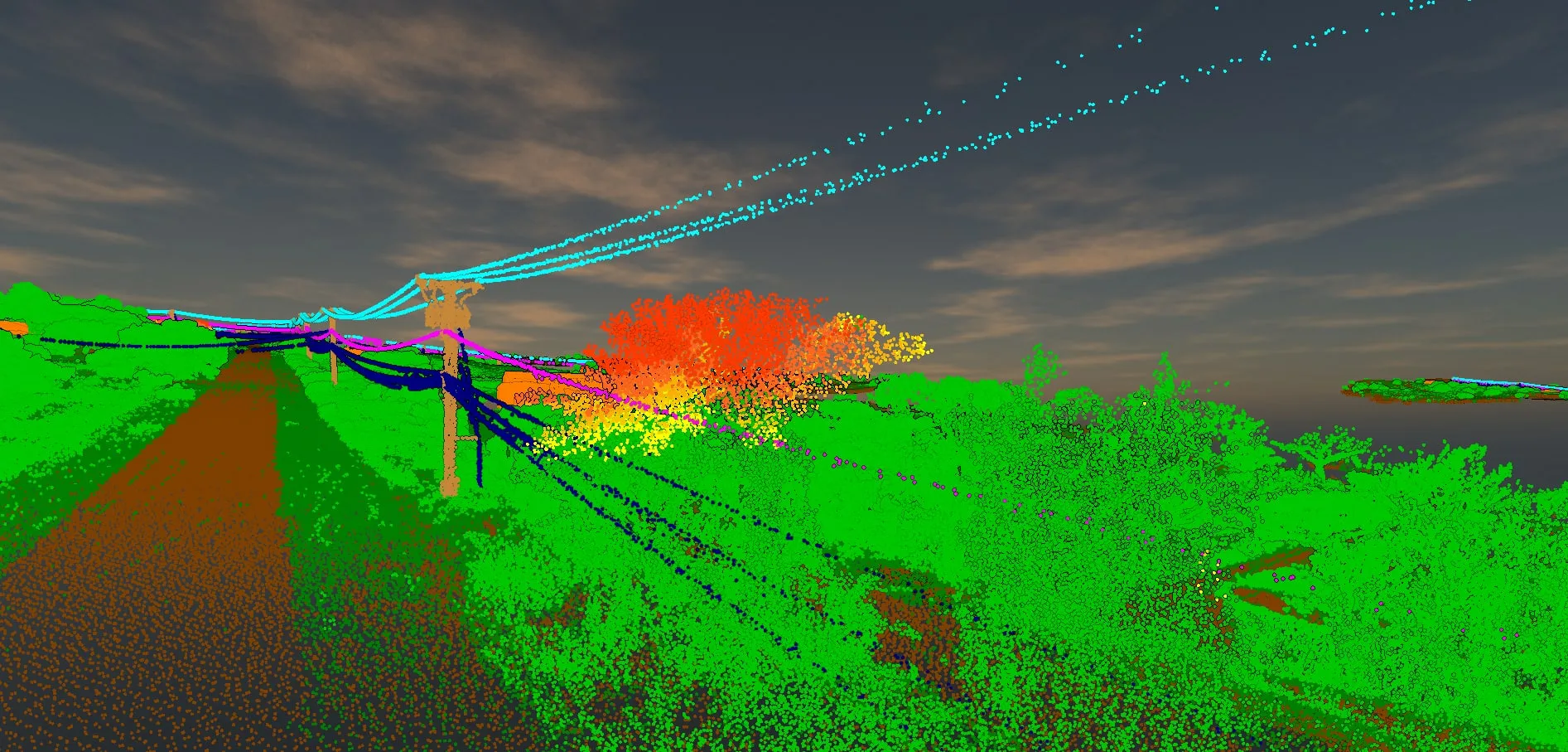
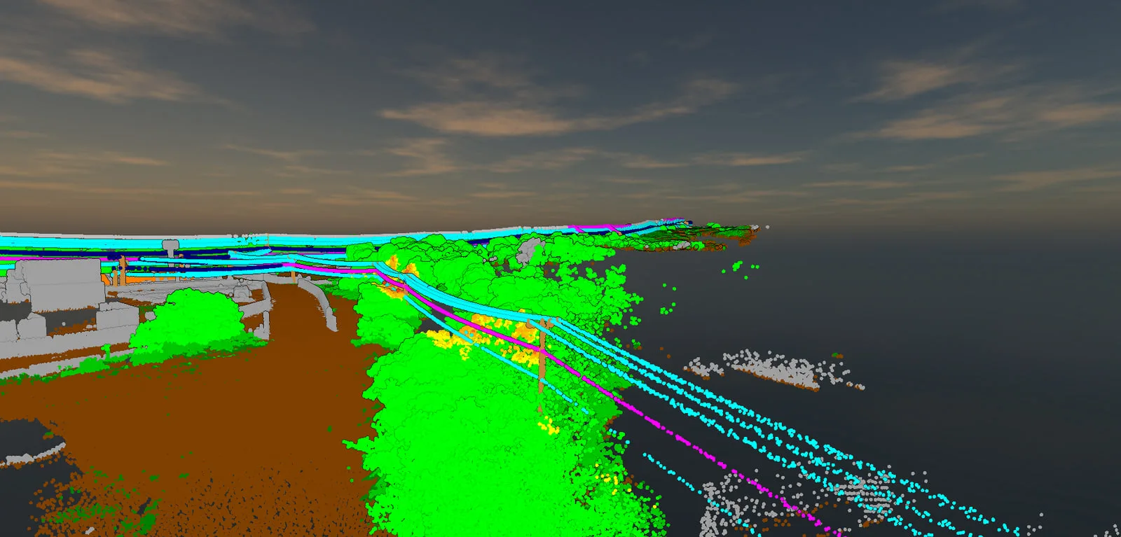
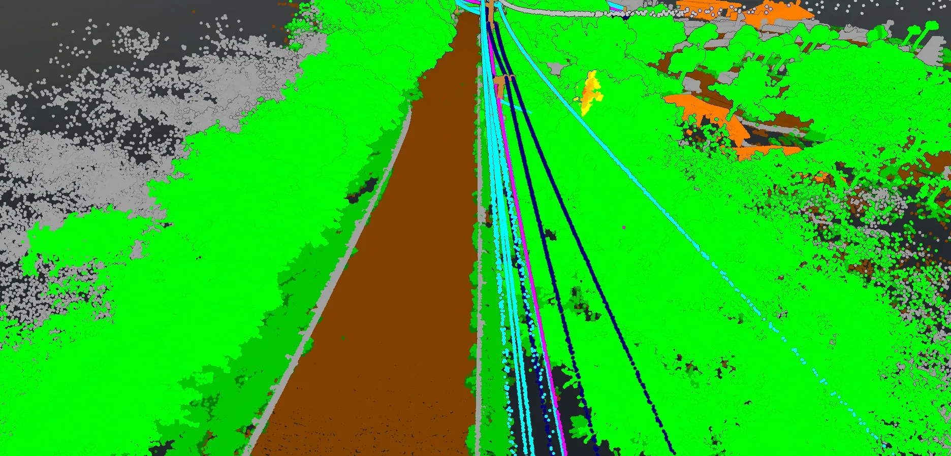
The captures are processed into classified point clouds, with ground, vegetation, poles and conductors each sorted into a class of its own. They are large: one section of the Kohala Mountain Road alone holds 1,180,820,758 points. Vegetation close to the lines is flagged in bands set for each corridor and handed over as encroachment polygons and points, which publish to a LiDAR encroachment app in Big Island Tree Service's program hub.
What the program delivers
- Classified point clouds of the corridors flown, as LAZ files
- Vegetation encroachments as polygons and points
- An encroachment app in the program hub, with a 3D LiDAR viewer and a login for vegetation managers
- A repeat flight after trimming, where the job calls for one
Before and after trimming
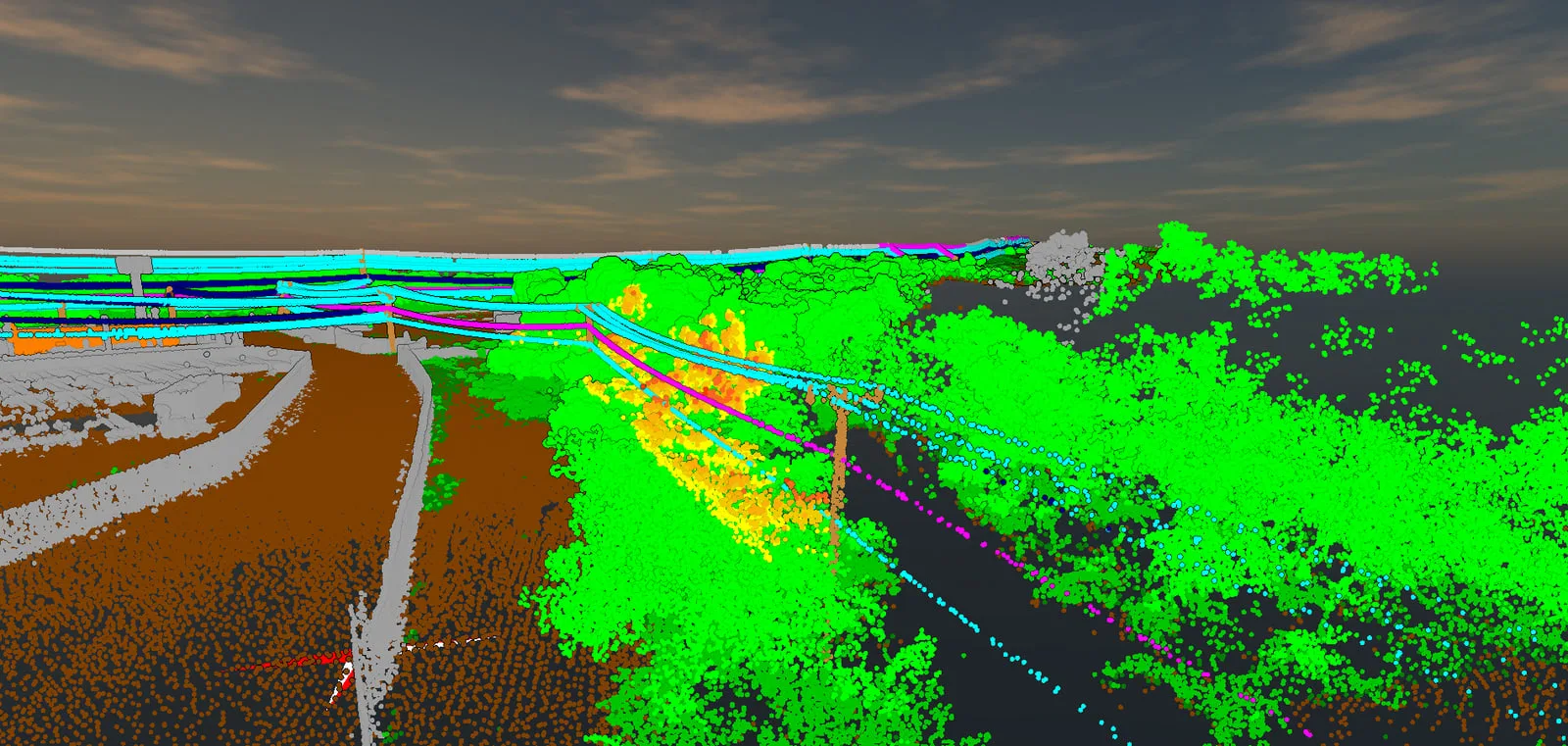
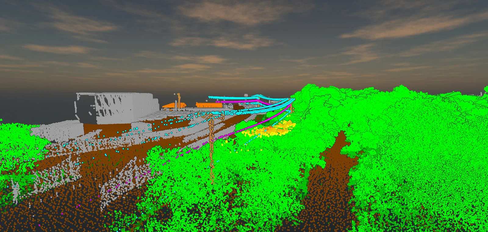
In March 2025 we flew a stretch of the Kawaihae corridor, where vegetation beside a pole was reaching toward the wires. After trimming we flew part of it again in April, so the second cloud documents the same corridor once the work was done.
What it is used for
The flags show vegetation managers where trees and brush are closing in on the wires, most of them in the utility's highest fire risk corridors, and a repeat flight gives a record of the corridor after the trimming. The LiDAR sits in the same program hub as the field records from the crews' iPads. See the field data side of the program →
The numbers
- miles flown with drone LiDAR, repeat flights counted
- 60+
- drone LiDAR captures in 2026
- 44
- drone LiDAR captures in 2025
- 10
- of the 13.26 corridor miles flown in 2025 lie in Tier 3
- 13.25
- of the 47.5 miles planned for 2026 lie in Tier 3
- 29.0
- points in one classified section of the Kohala Mountain Road
- 1,180,820,758
Miles are measured along the power line through the areas flown. Tier 3 is the utility's highest fire risk class on its tier map.
Related work and services
Power lines that need a closer look?
Send the circuits or the line miles, transmission or distribution, the clearance bands your spec sets and the date your vegetation managers need the flags. We will plan the flights and the encroachment layers around them.