

Where access is hard, data is harder
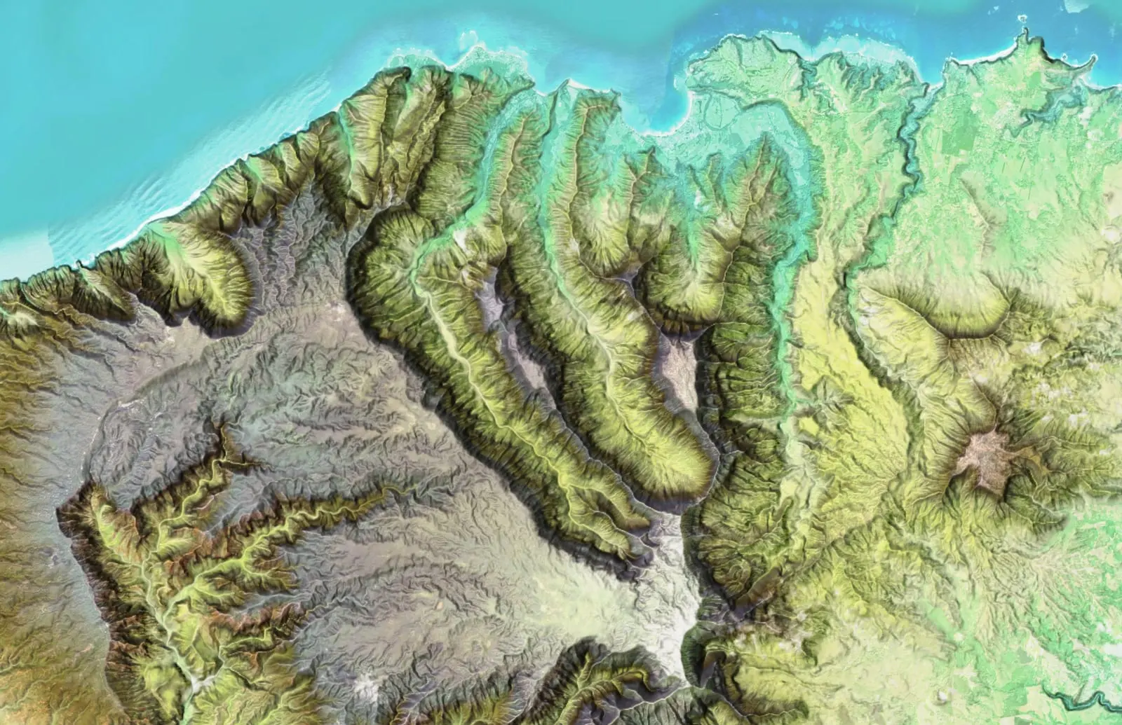
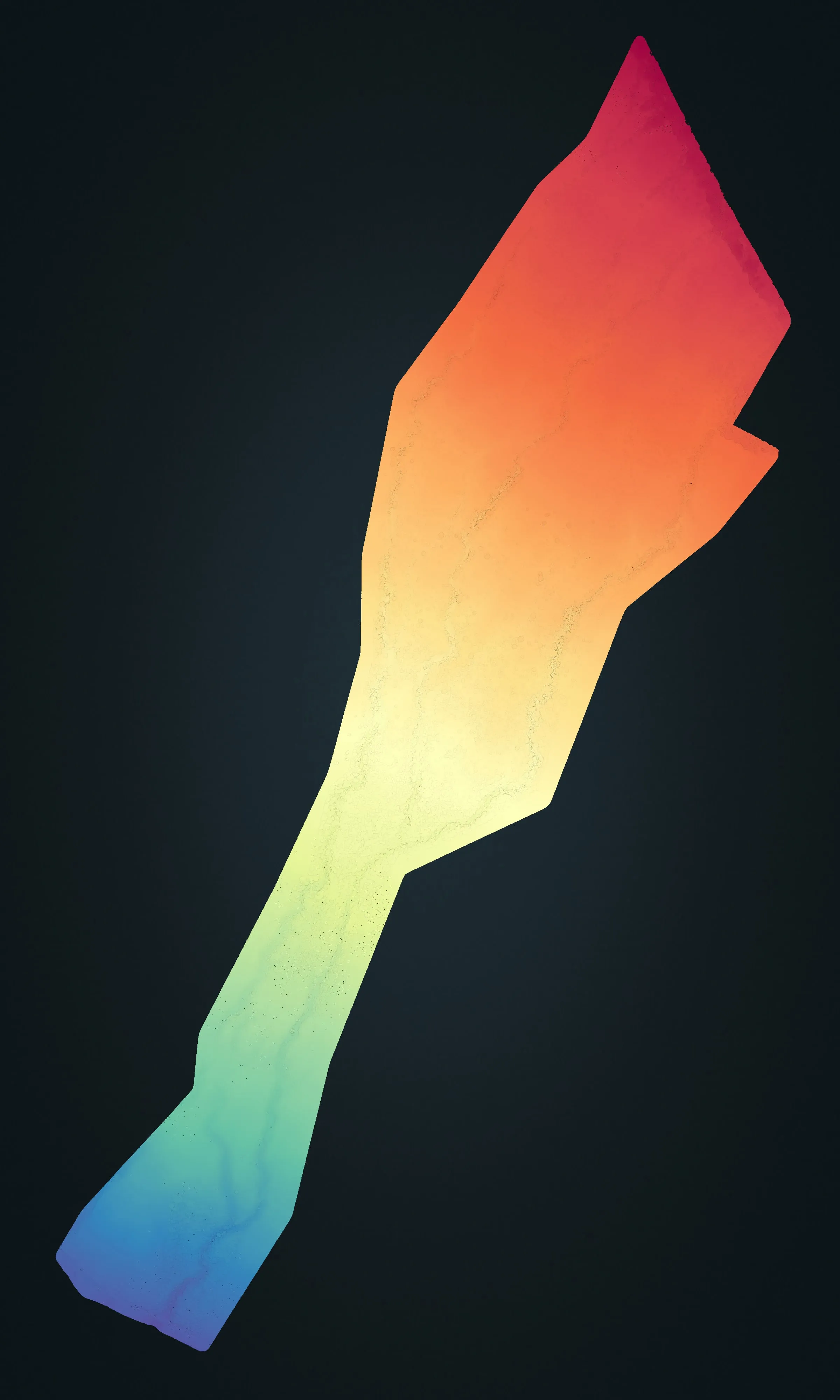
Millions of years of erosion have carved Kauaʻi into canyons, cliffs, and steep watersheds that are difficult and sometimes dangerous to cross on foot. Drone LiDAR reaches this terrain safely, recording the bare earth beneath heavy vegetation where a crew on the ground cannot go, and aerial photography maps the open ground around it.
Erosion, conservation, and agriculture
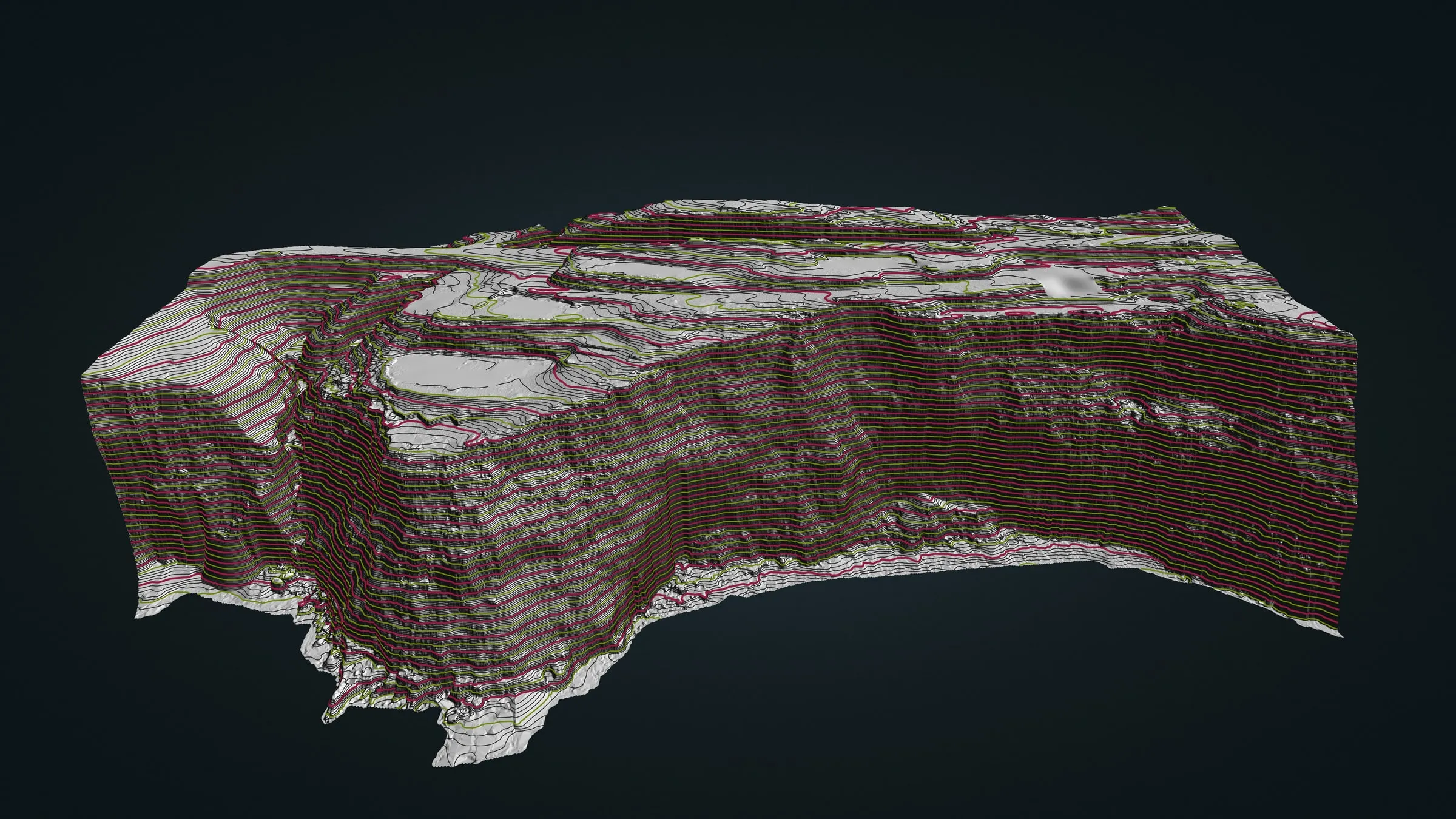
Kauaʻi's rainfall keeps the island moving, so a measured baseline is worth having: one flight recorded carefully now gives a land manager or a watershed group something fixed to hold a later flight up against. On the drier west side, terrain and slope data help lay out farm ground. We flew that kind of baseline for a sea cliff on the Big Island, and the same approach travels here.
Where drone mapping helps on Kauaʻi
- Remote, steep, and forested terrain
- Watersheds and erosion baselines
- Conservation and habitat documentation
- West side agriculture and land management
Drone LiDAR is the tool that reaches the ground under Kauaʻi's forest, and conservation and cultural site mapping is how we work on sensitive land. Our case studies are on Hawaiʻi Island and Maui so far; the work itself travels, and so do we. Send us the parcel, the trail or the watershed and we will plan the flight around the weather and the access.
Kauaʻi is a long way from Kona, but not a long wait: the drone is ready on Hawaiʻi Island, and we can have it here the same day a job calls for it.
Ground under the canopy, in Kauaʻi's own coordinates
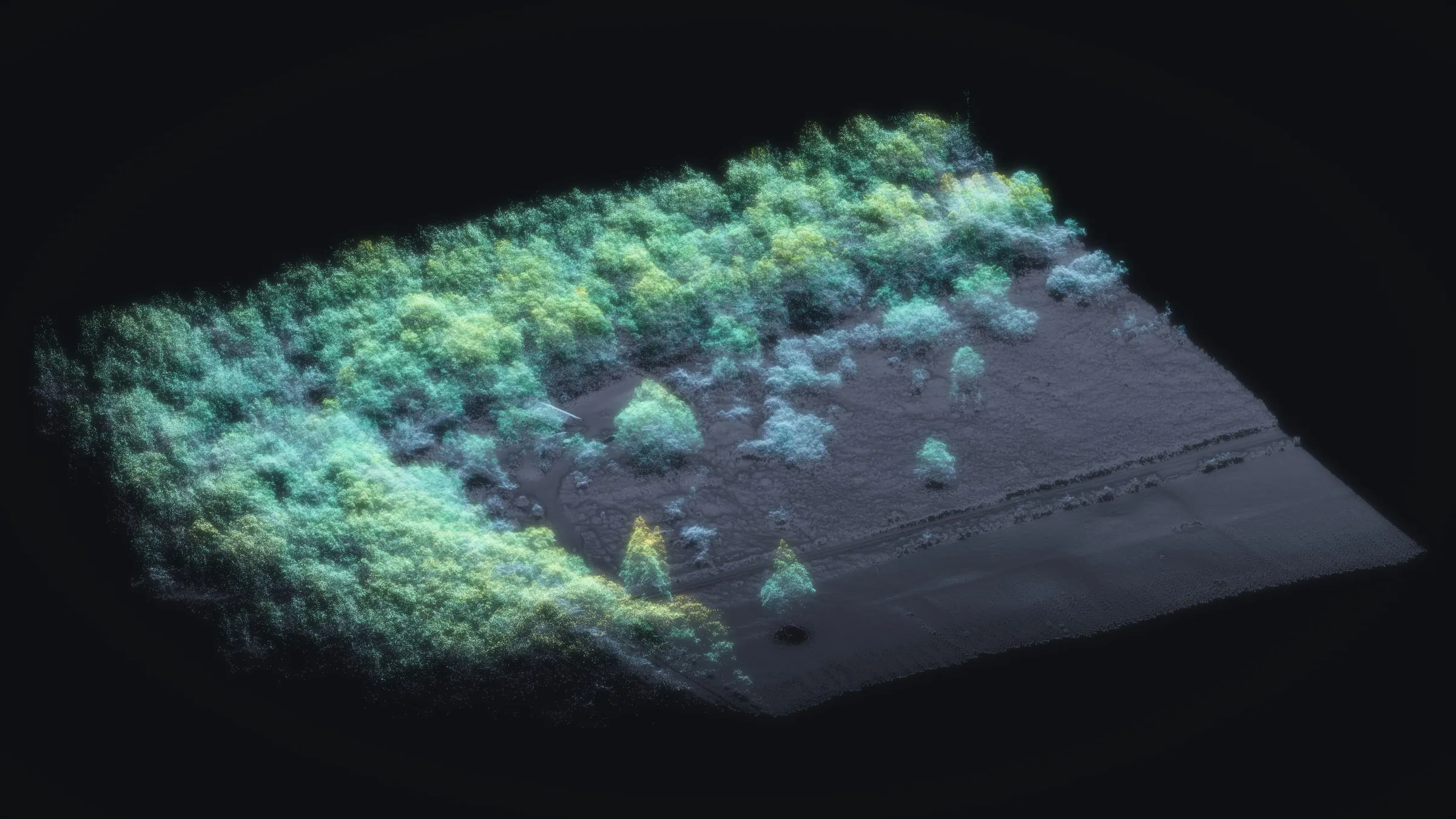
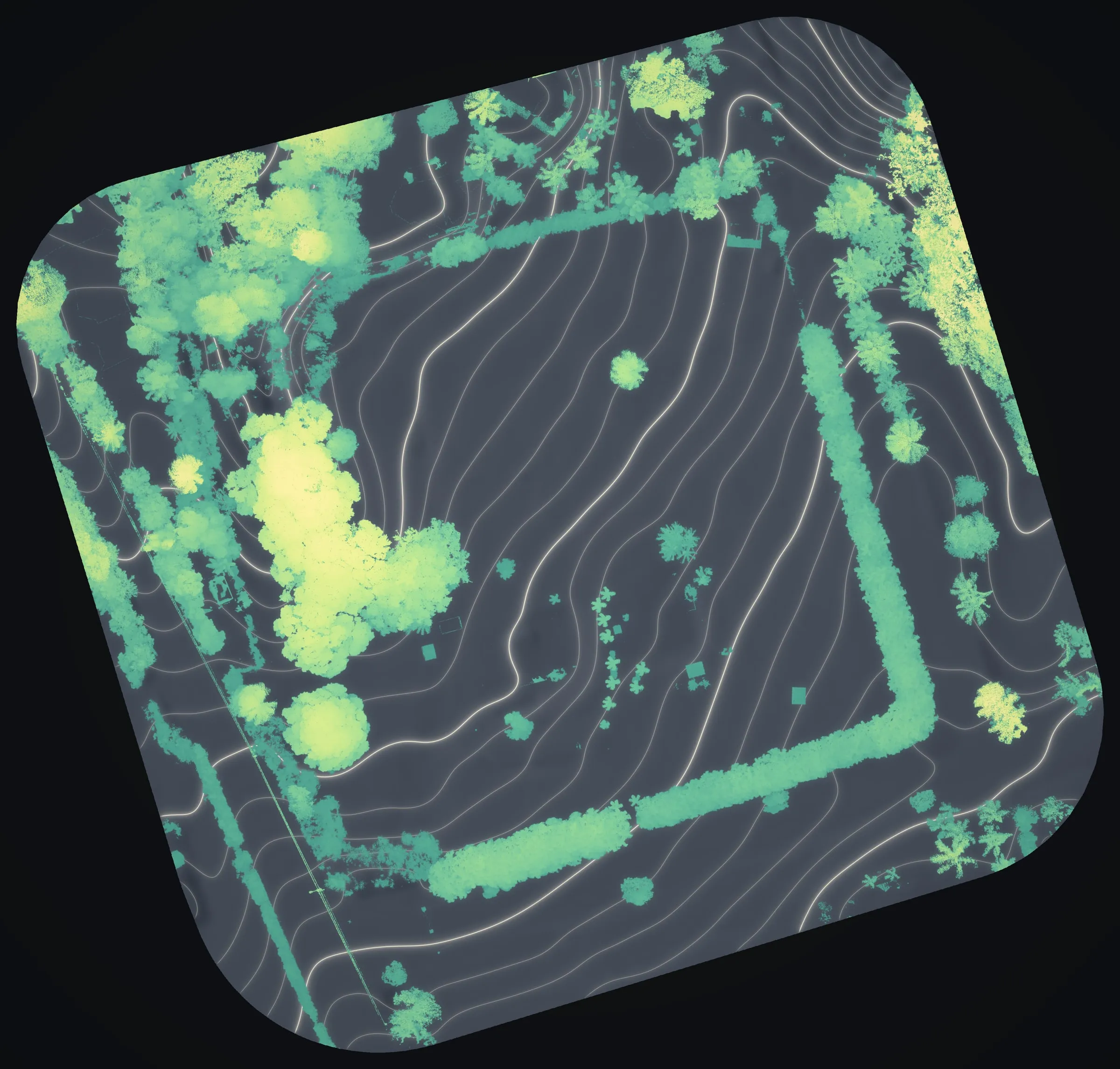
Whether enough laser pulses reach the ground under a dense canopy is measured, not assumed. On the forested Mountain View lot we mapped on Hawaiʻi Island, 81 percent of the ground lies under canopy over 20 ft, and ground returns still turned up in 96 percent of its 3 m blocks. A bare earth model of Kauaʻi's forested ground would get the same count before it is called finished.
Kauaʻi is State Plane zone 4 on NAD83(PA11), and a Kauaʻi dataset would be delivered in that zone, or in the system your surveyor or engineer already draws in. Heights are settled with you first, since the islands have no single statewide height datum to fall back on.