
Case study · forest and canopy
A Volcano forest, measured from the ground up
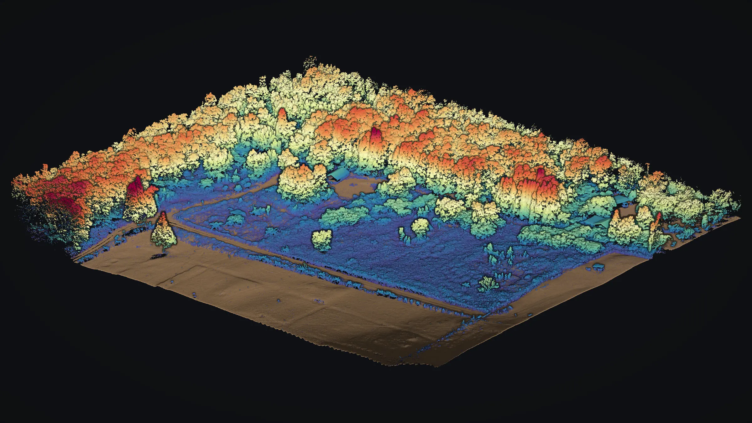
In November 2025 we flew a forested parcel in Volcano, on Hawaiʻi Island, with drone LiDAR: forest standing around an open pasture on old lava ground. One flight told the trees and the ground apart, so the land beneath the canopy and the height of the canopy above it could each be measured.
Forest and pasture on old lava
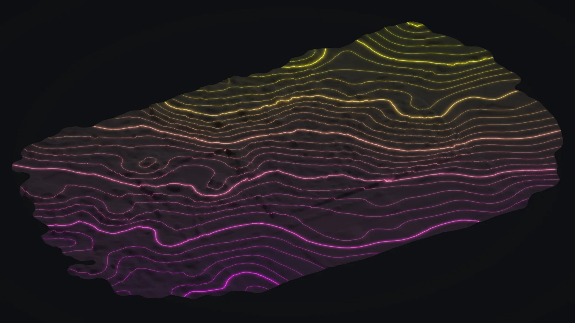
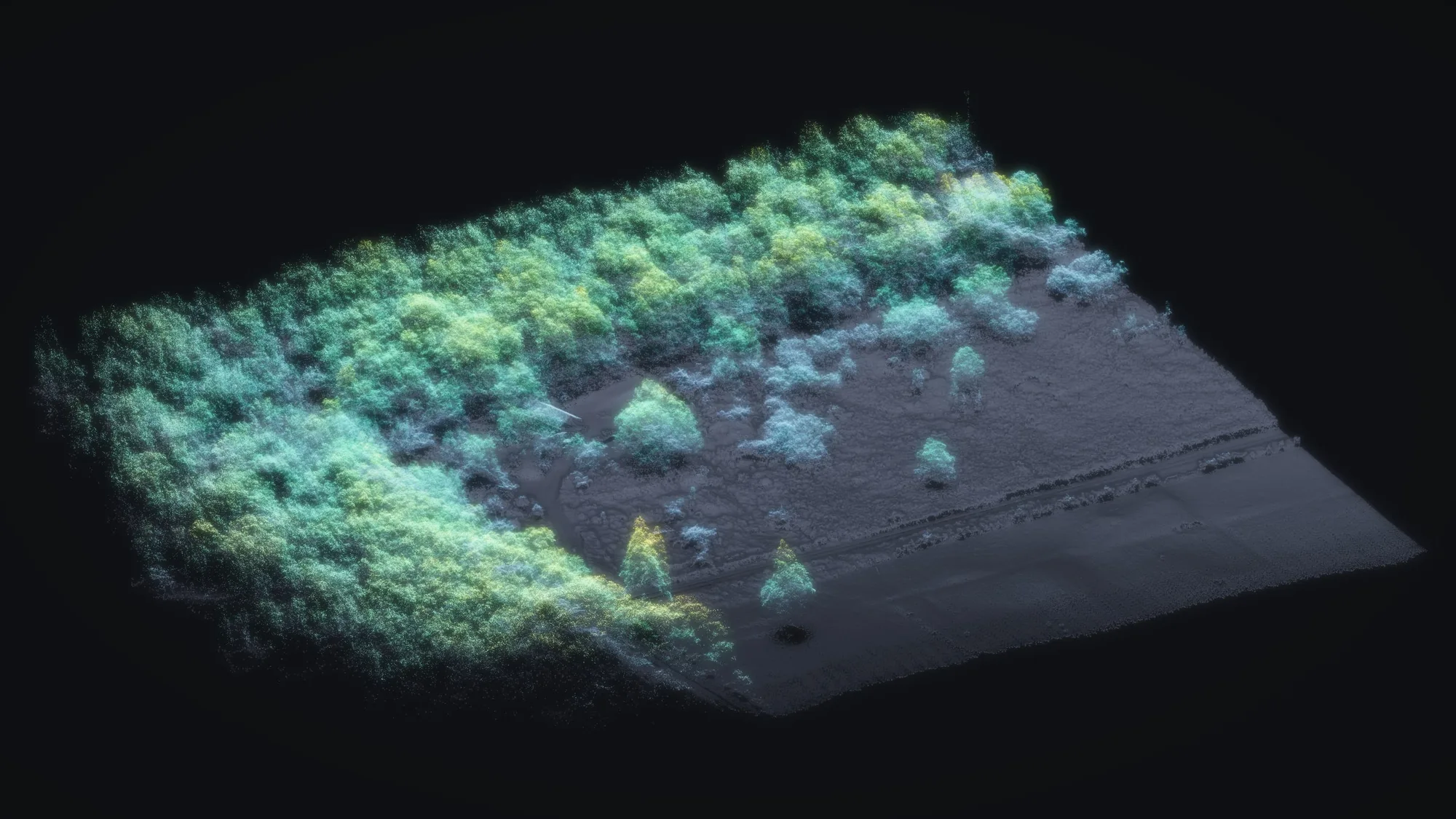
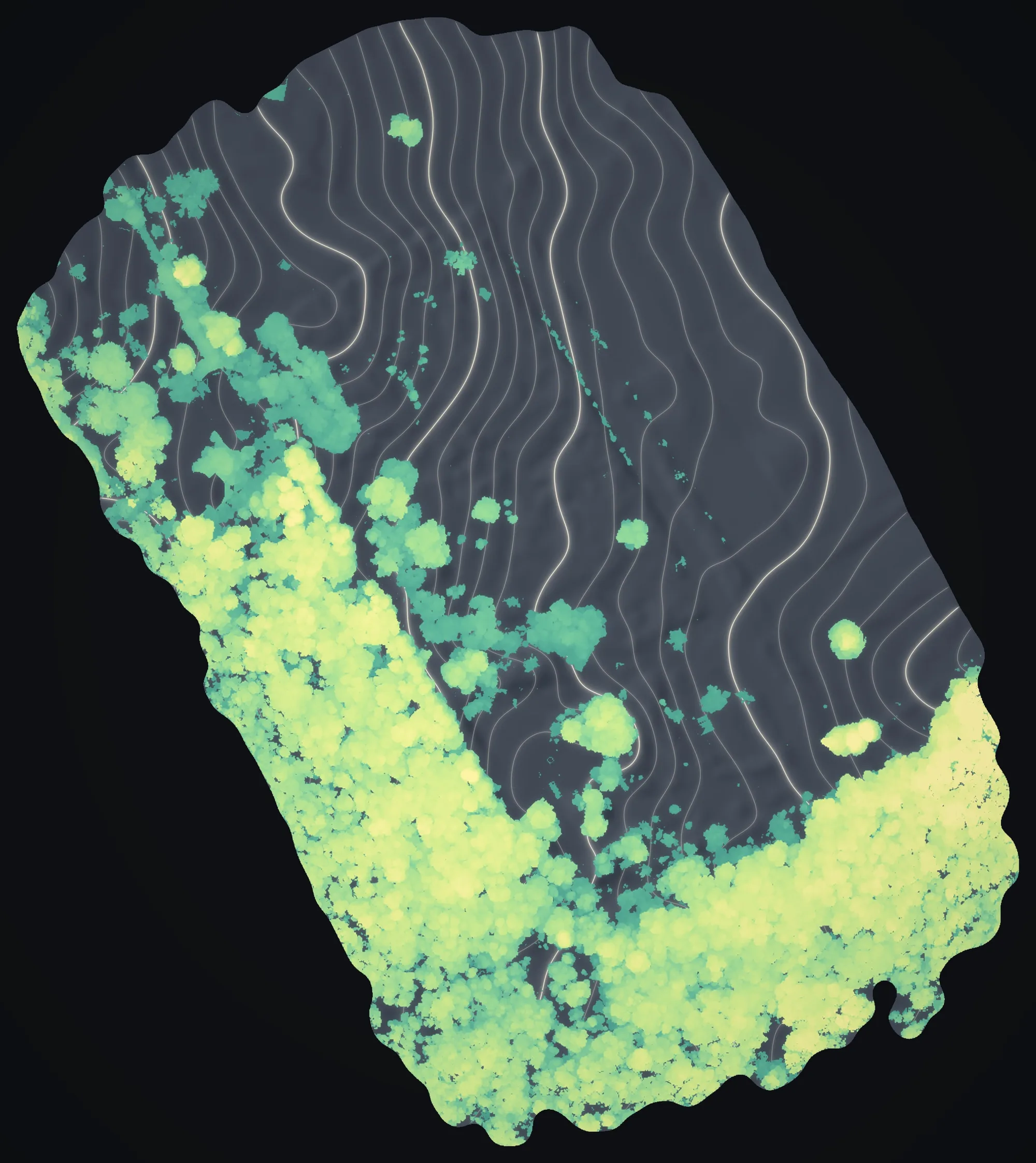
One flight, the trees and the ground told apart. Select a picture to see it at full size.
Forest over lava ground
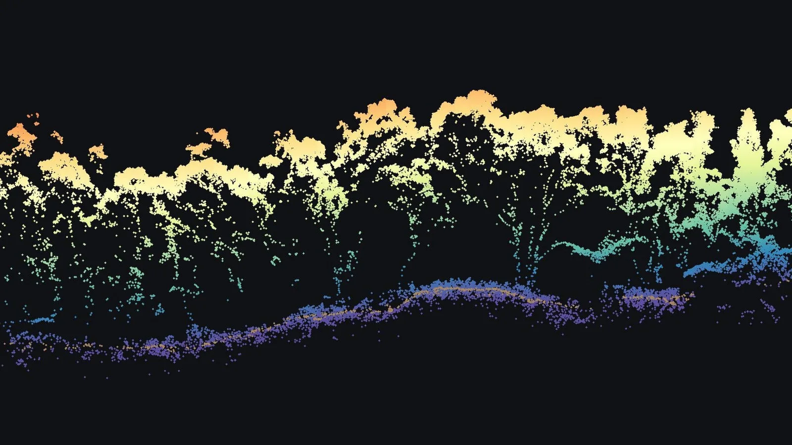
Two things on a wooded property sit one on top of the other: the ground, and the trees growing from it. A photograph from above records the crowns and leaves the rest to guesswork. Drone LiDAR records both at once, and once the returns off the ground are sorted from the returns off the leaves and branches, each can be measured on its own.
What we flew
One drone LiDAR flight on November 24, 2025, about 15 minutes of recording over 10.6 acres, with a camera taking 314 photos at the same time and a GNSS base logged on site.
What the flight produced
- A colorized, classified point cloud of 47,158,418 points, about 1,093 to each square meter
- 15,056,495 of those points, 32 percent, classified as ground
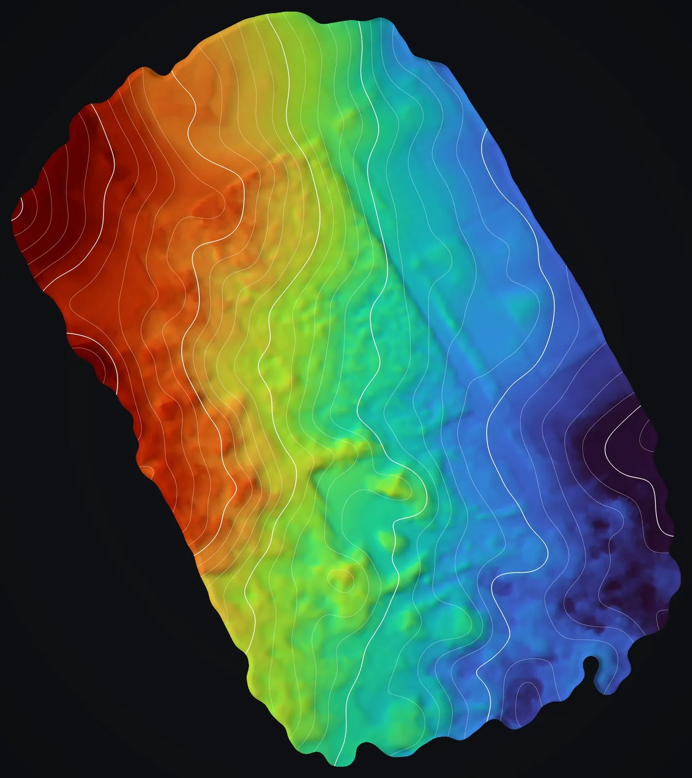
- A bare earth model on a 10 cm grid
- A 3D scene package for viewing the cloud
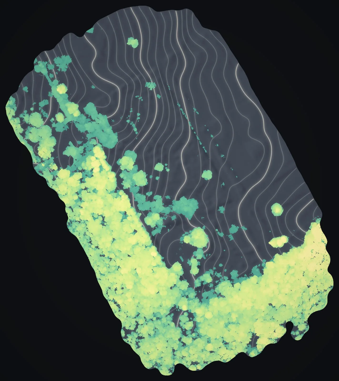
- A canopy height model, built afterward from the same cloud on a 0.25 m grid, measuring the forest against the ground beneath it
What it shows
Across the flight, 42 percent of the ground lies under canopy taller than 6 ft. Half of that canopy stands taller than 33 ft, and its highest point reaches about 69 ft above the ground. Of all the returns in the cloud, 32 percent came back from the ground itself, enough to model the lava surface under the trees as well as across the open pasture. Over the whole flight the bare ground spans 68 ft of height, top to bottom.
The numbers
- points in the classified cloud
- 47,158,418
- percent of points from the ground
- 32
- acres flown
- 10.6
- points per square meter
- about 1,093
- bare earth model grid
- 10 cm
- percent of the flight under canopy over 6 ft
- 42
- median height of that canopy
- 33 ft
- highest point of the canopy
- about 69 ft
- feet of relief, top to bottom
- 68
Canopy heights run from the highest return in each 0.25 m cell down to the bare earth beneath it, and relief is the spread between the lowest and the highest bare earth on the flight. Neither is an elevation.
For a wooded property
The same products answer the questions a forested property raises: how tall the trees stand and where, how the ground runs beneath them, and where the open land lies. Here one flight produced all three.
Related work and services
Want your own trees and ground measured?
Send the island, where the parcel is and about how many acres, and what you need to know: how tall the trees stand, the ground beneath them, or how close growth comes to a house or a road.