
Community
Mapping in service of Hawaiʻi
We live and work on these islands, and we have a kuleana to give back to them. Alongside our client work we have mapped farms and good causes at no charge and led drone demonstrations for students, and we offer the same help to Hawaiian cultural and nonprofit projects and to teachers here.
Free mapping for farms and good causes
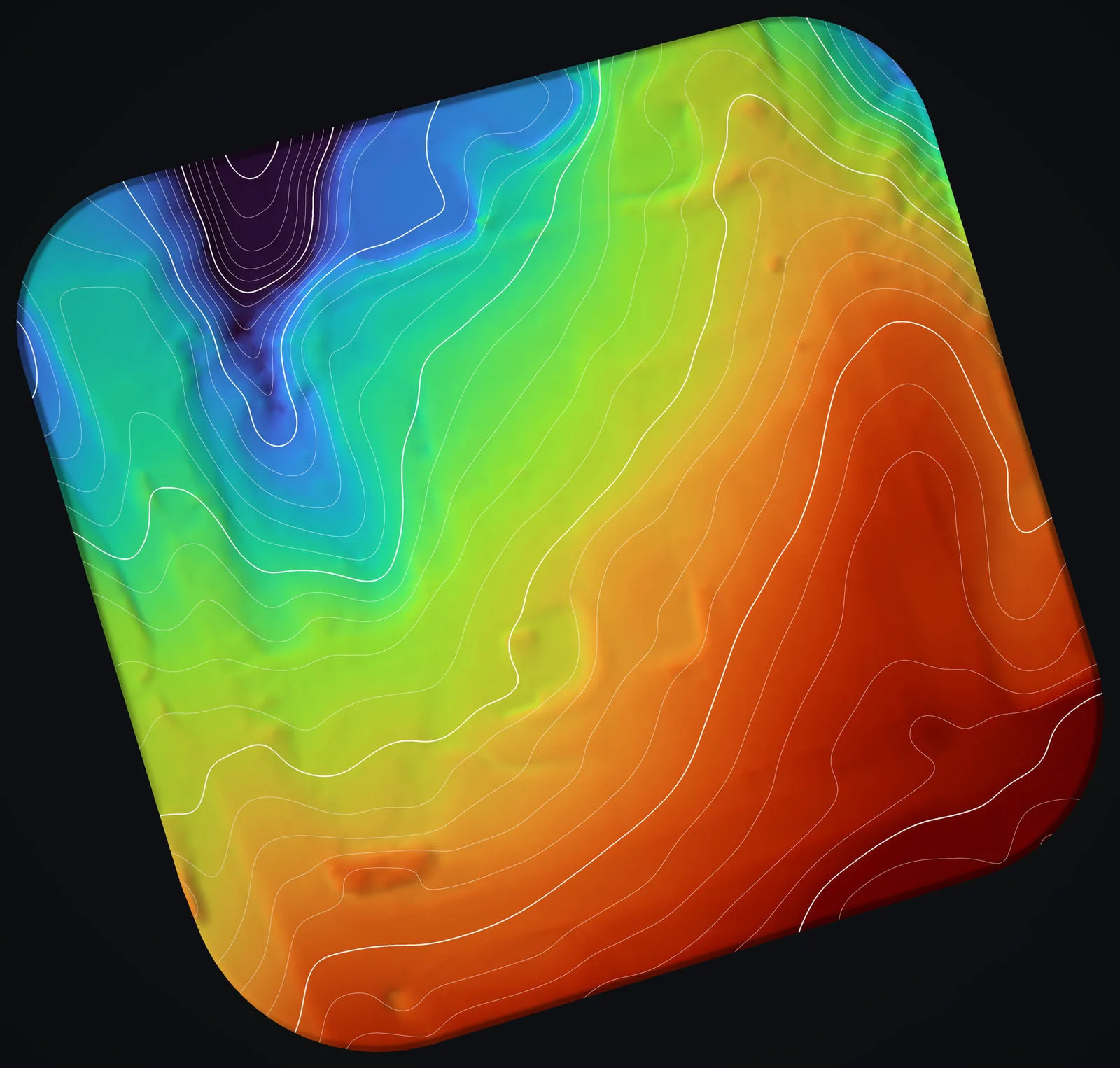
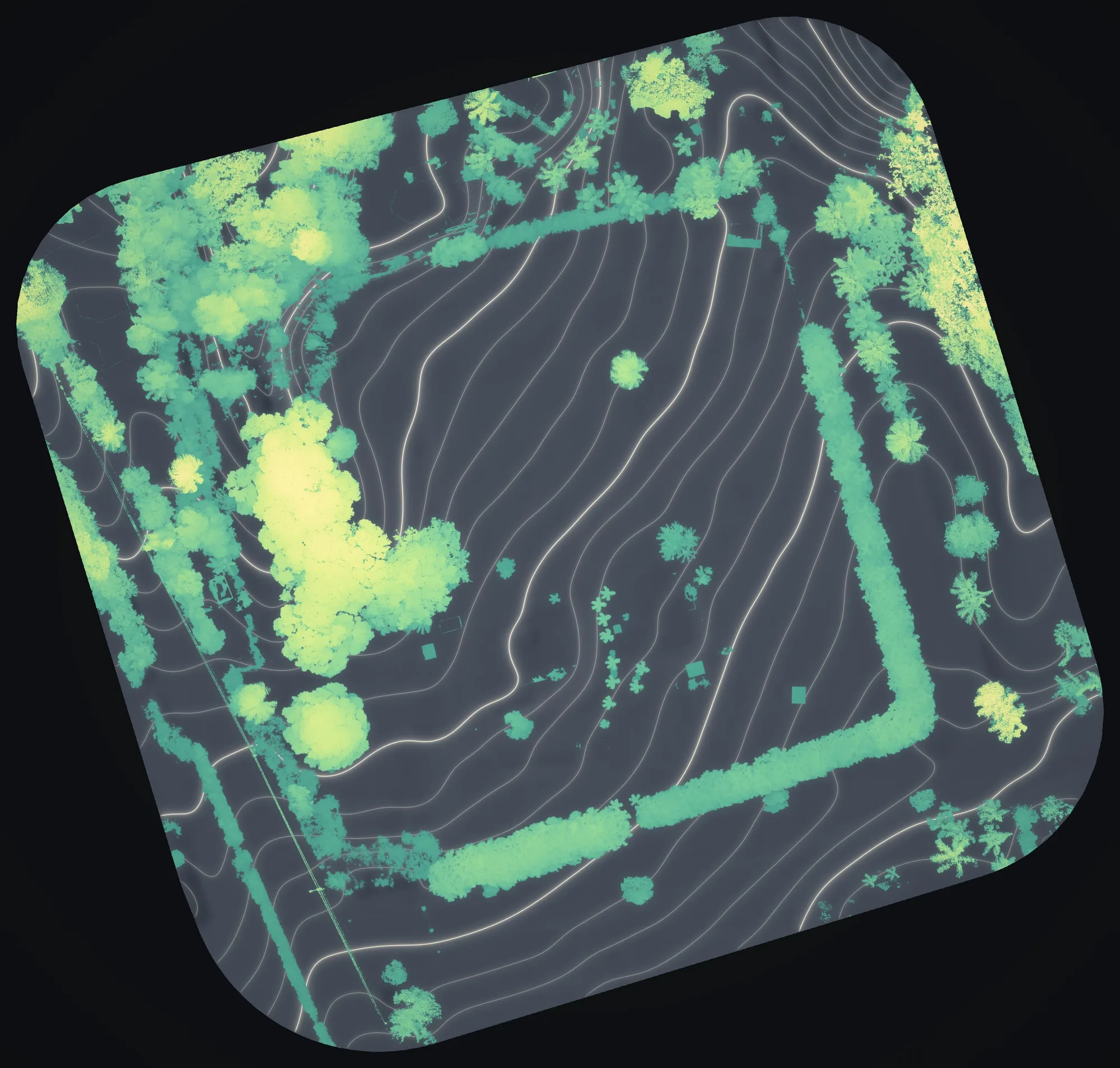
We give mapping time, at no charge, to farms and good causes. One was a small flower farm in Haʻikū, on Maui, where our drone LiDAR drew the ground in 1 ft contours and mapped its trees and hedgerows by height. The maps are in the Maui farm planning case study.
Geospatial work for cultural and nonprofit projects
Many of the groups doing the most important work in Hawaiʻi have no mapping budget: the people caring for the ʻāina, restoring habitat, and protecting wahi pana, the storied places of these islands. We can cover that part: GIS, mapping, LiDAR, drone imagery and advice, given to cultural and nonprofit projects that need it, on their terms and at their pace.
We document a sensitive place only when we are welcomed there, and always in service of the people who hold kuleana for it.
Teaching the next generation
Eli has brought this work into the classroom before. At Southern Oregon University, where he studied, he has run live drone demonstrations for remote sensing classes and guided students through capstone projects on wildland fire. We would like to do the same here: show students how drones, LiDAR, GIS and remote sensing turn an island into data, and how that data helps people care for the land. If you teach in Hawaiʻi and want real geospatial work in your classroom or out in the field, tell us what your class is studying.
Supporting wildland fire pilots
Wildfire is one of the clearest threats to Hawaiʻi's land and communities. Eli Polsky, who started Hawaii Mapping, also founded and directs the UAS Wildland Fire Collaborative, a nonprofit building a standard pipeline for getting drone fire data to incident teams. If you fly drones on wildfires in Hawaiʻi, it is worth knowing about, and we can introduce you. Our own fire work here, mitigation mapping along power lines, is on the wildfire page.
An invitation
If you lead a Hawaiian cultural project, a nonprofit or a school and think geospatial work could help, tell us about it. No budget required, just a real need and a place worth caring for.
Get in touchHave a project that serves Hawaiʻi?
Whether it's paid work or a cause we can support, tell us about it.