
About
Geospatial work, rooted in Hawaiʻi
Led by Eli Polsky and based in Kona, Hawaii Mapping brings 14 years of geospatial work, earned across the West, home to Hawaiʻi: GIS, drone LiDAR, remote sensing, wildland fire, forestry, fisheries and land management.
The work
What we deliver, from recent jobs
Experience that runs deep
Our work spans the geospatial field: GIS and custom apps, remote sensing from drones and aircraft, LiDAR, and field data programs, applied to wildfire mitigation, forestry, fisheries, land management, utility vegetation management, agriculture and conservation.
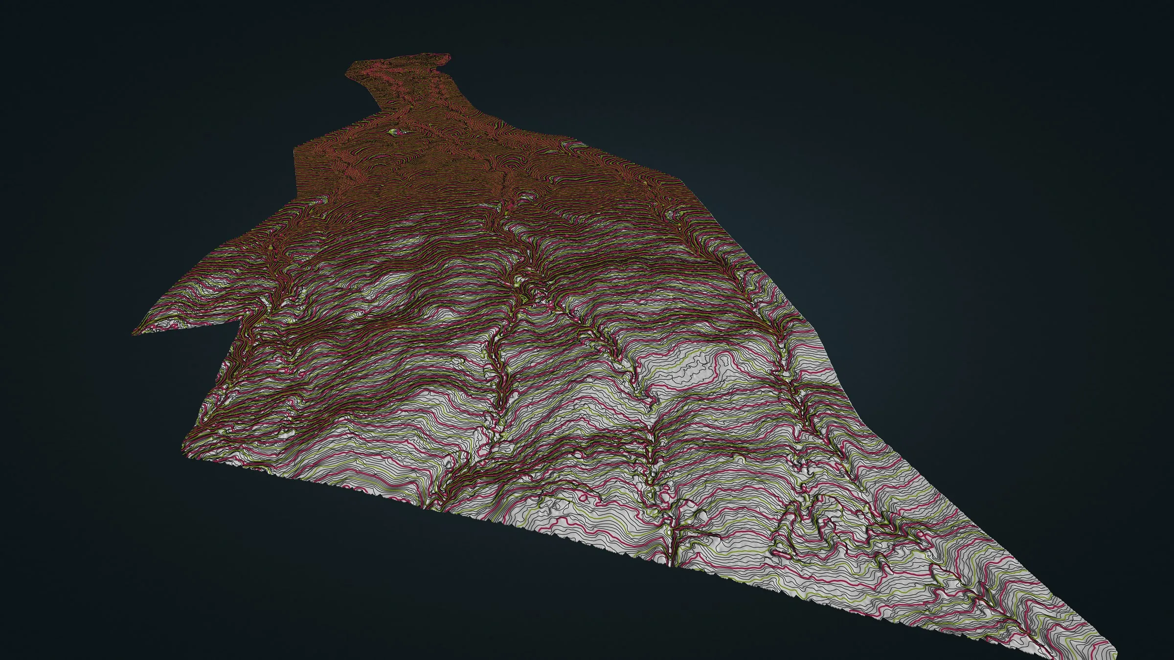
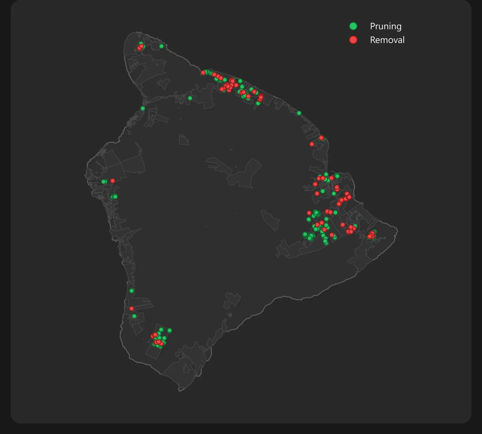
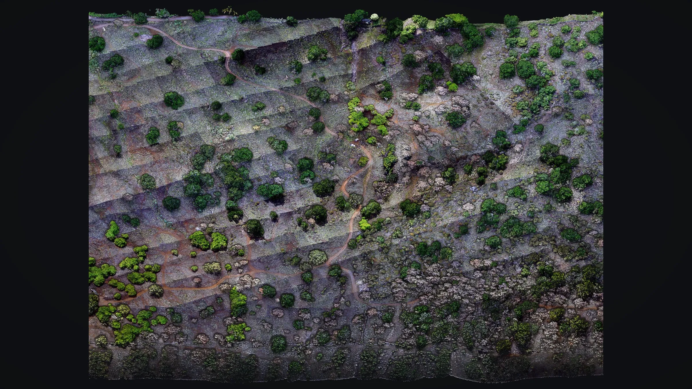
In Hawaiʻi that work is for clients like Big Island Tree Service, whose vegetation crews on Hawaiian Electric's Hawaiʻi Island system have entered their work in our field forms since December 2023, with our dashboards and drone LiDAR alongside, and Chinook Landscape Architecture, for whom we mapped the ground for a planned trail at Koaiʻa, on the Kohala slopes. That data went on to two DLNR programs: Nā Ala Hele, the State trail and access program, and the Division of Forestry and Wildlife. See the projects.
The founder
Eli Polsky has flown as an FAA Part 107 remote pilot since November 2016. He is also a red carded wildland firefighter holding the FFT1, GISS and UASD qualifications. The Oregon Department of Forestry's list of Call When Needed UAS resources has carried his name since 2019, for fire work on the mainland, and the US Forest Service has called him up as an Administratively Determined resource from 2012 to 2016 and again since 2022. He first flew a drone on a prescribed burn in 2016 and on a wildfire incident in 2019. In Hawaiʻi his fire work is mitigation mapping, laid out on our wildfire page, and what an incident team gets from a night flight, with the maps behind it, is on our wildland fire mapping page.
Eli is the Founder and Executive Director of the UAS Wildland Fire Collaborative, a nonprofit that helps drone pilots on wildfires get their maps to the incident teams who need them. Rogue Reconnaissance is his mainland company and takes the projects outside Hawaiʻi. Hawaii Mapping was called High Road Solutions until July 2026, when it took the name its web address already carried.
He studied at Southern Oregon University, graduating with a Bachelor of Science in Environmental Studies. His concentration was land use planning, and he minored in geography. The university profiled his wildland fire mapping work in a March 2024 alumni feature.
Teaching and recognition
- Guest instructor at Southern Oregon University, leading live drone demonstrations in its remote sensing courses, and a mentor to student capstone projects on wildland fire and the wildland urban interface
- Instructor for drone flight training given to visiting firefighters from Taiwan, Salem, Oregon, 2026
- Speaker on drone LiDAR and multispectral data for assessing ground after a harvest, to the Oregon Society of American Foresters in Ashland at its 2024 meeting
- Chosen for Cohort 3 of the Oregon UAS Accelerator's Innovation Challenge, 2025
Why the ʻāhinahina
The plant in our logo is the ʻāhinahina, the silversword. Its name repeats hina, the Hawaiian word for gray, for the fine silver hairs that sheath its leaves. Those hairs are not decoration. High on Haleakalā they turn back a brutal sun, and the spiky leaves gather moisture from drifting cloud and send it down to the plant's base. The ʻāhinahina is endemic to Hawaiʻi, growing nowhere else on Earth, and only where conditions are hardest: raw volcanic cinder, intense sun, freezing nights, little rain. It grows slowly for years, sometimes decades, blooms once, and is gone. By the 1920s goats, cattle and souvenir hunters had brought it close to extinction. Fencing and protection brought it back; since the 1990s a warmer, drier summit has it declining again.
We chose it on purpose. Eli Polsky, who founded Hawaii Mapping, was born and raised in Haʻikū, Maui, in the shadow of Haleakalā, where the ʻāhinahina grows on the mountain above his childhood home. The business is now based in Kona on Hawaiʻi Island, where its close relatives, both endangered, hang on high on Mauna Kea and Mauna Loa. The plant ties where he grew up to where we work today. It belongs to this place, and so do we.
Local and FAA certified
We are based in Kona on Hawaiʻi Island, so there is no mainland crew to fly in and no mainland travel on your bill. We plan each field day around island terrain, trade wind weather windows and the cultural and environmental care that places in Hawaiʻi ask for.
- FAA Part 107 certified remote pilot
- Drone LiDAR and camera flights, with a GNSS base logged on site where the job needs it
- GIS analysis, 3D modeling, dashboards, and custom app development
- A light field footprint and respect for cultural and sensitive sites
After the Lahaina fire, August 2023
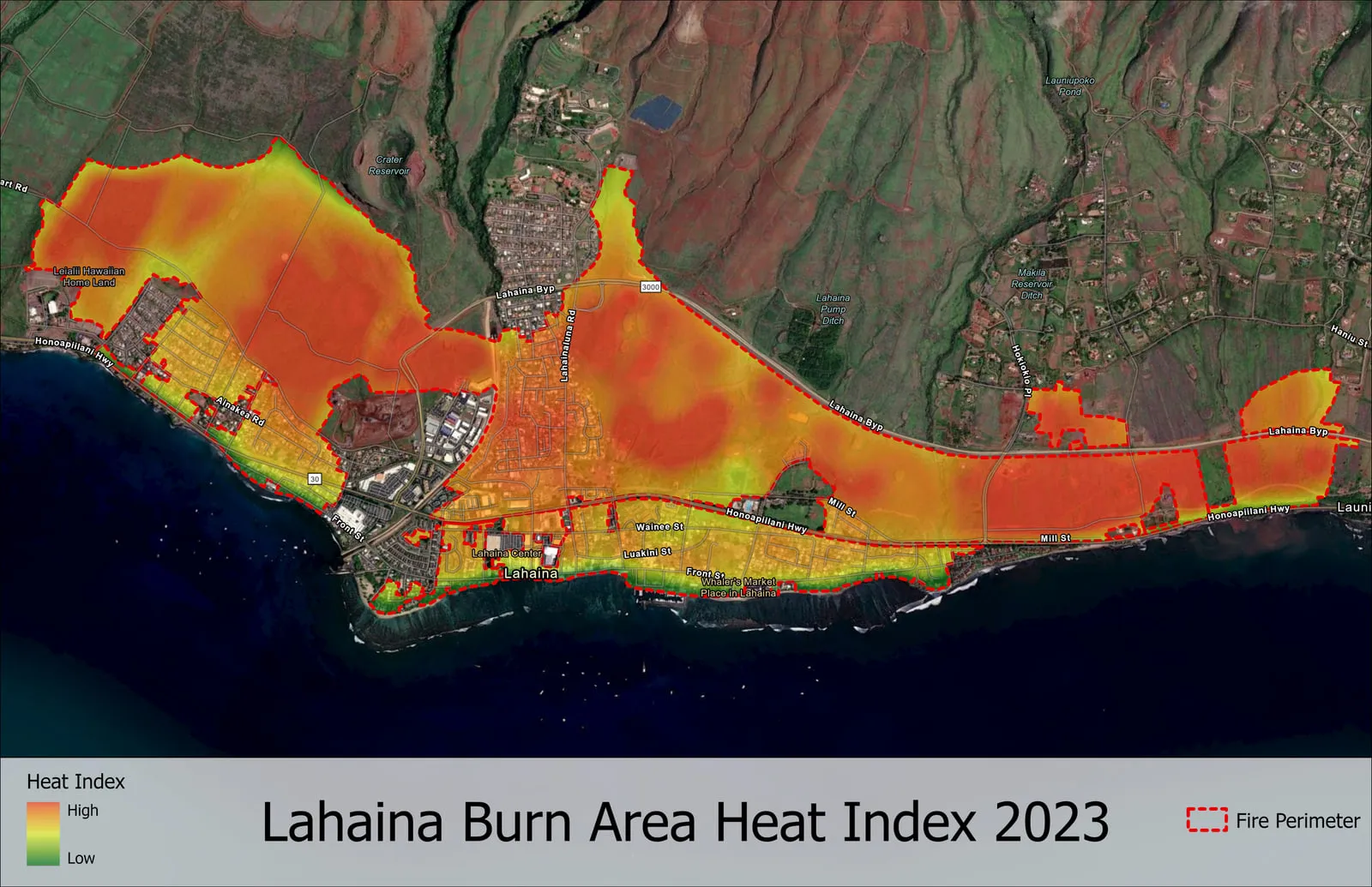
The fire that burned through Lahaina on August 8, 2023, took 102 lives. Afterward, Eli mapped the burn area from satellite thermal data on his own, to show how the burned ground read from space. No client or agency asked for it, and no drone flew it.
Let's talk about your Hawaiʻi project
Send the island, where the site is and the question the map has to answer. We will come back with how we would map it, what you would receive and what it would cost.