
Hawaiʻi GIS · LiDAR · mapping
GIS consulting, LiDAR and drone mapping for Hawaiʻi
Hawaii Mapping is a Kona based GIS consulting and drone LiDAR company serving every island: maps, point clouds, dashboards and field data apps for landowners and builders, utilities and tree crews, agencies and conservation groups.
Our work
Recent work across Hawaiʻi
Real deliverables from real jobs. Tap any picture to open its case study.
-
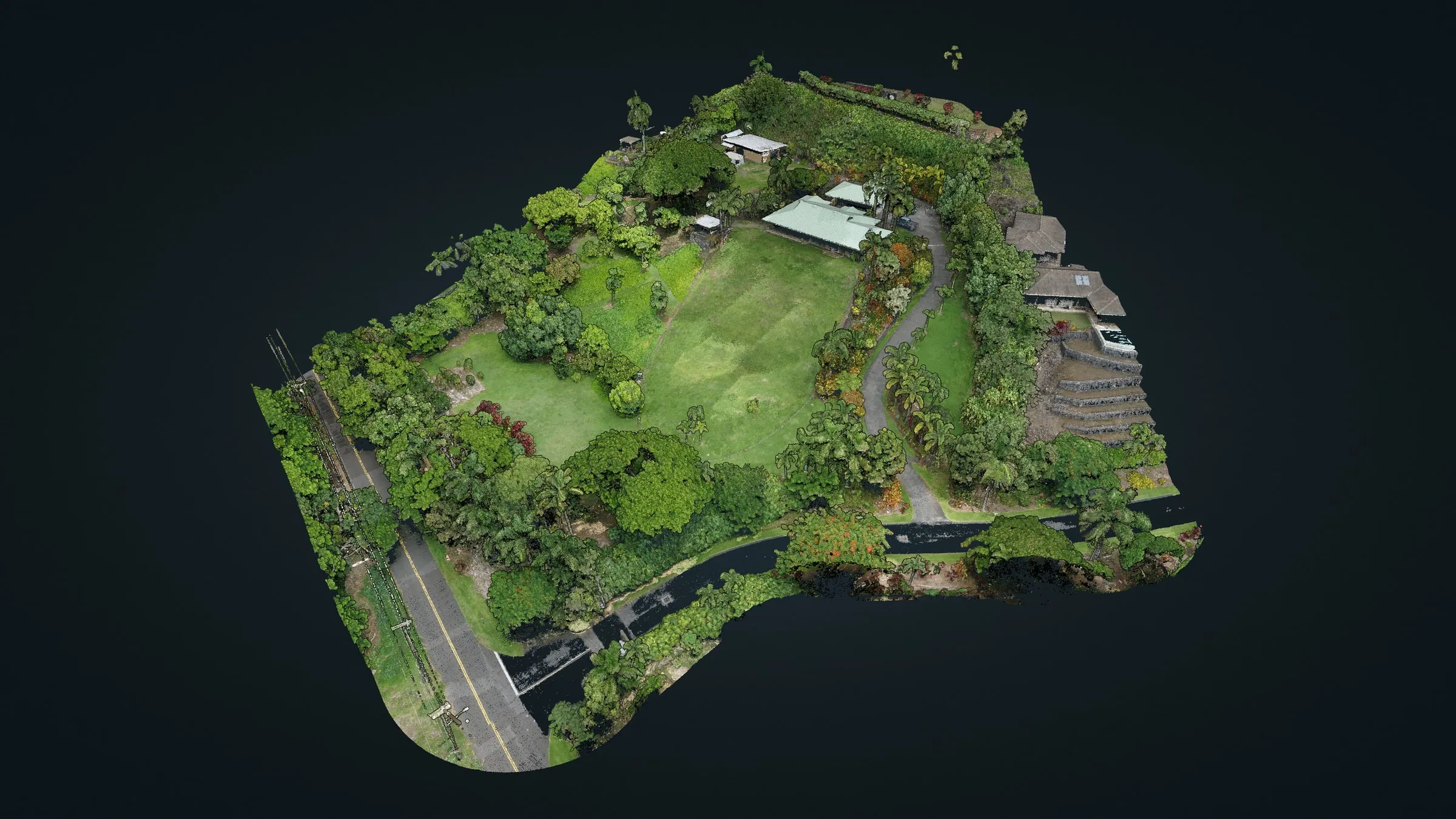 North Kona hillside: 57.5 million points before building
 -
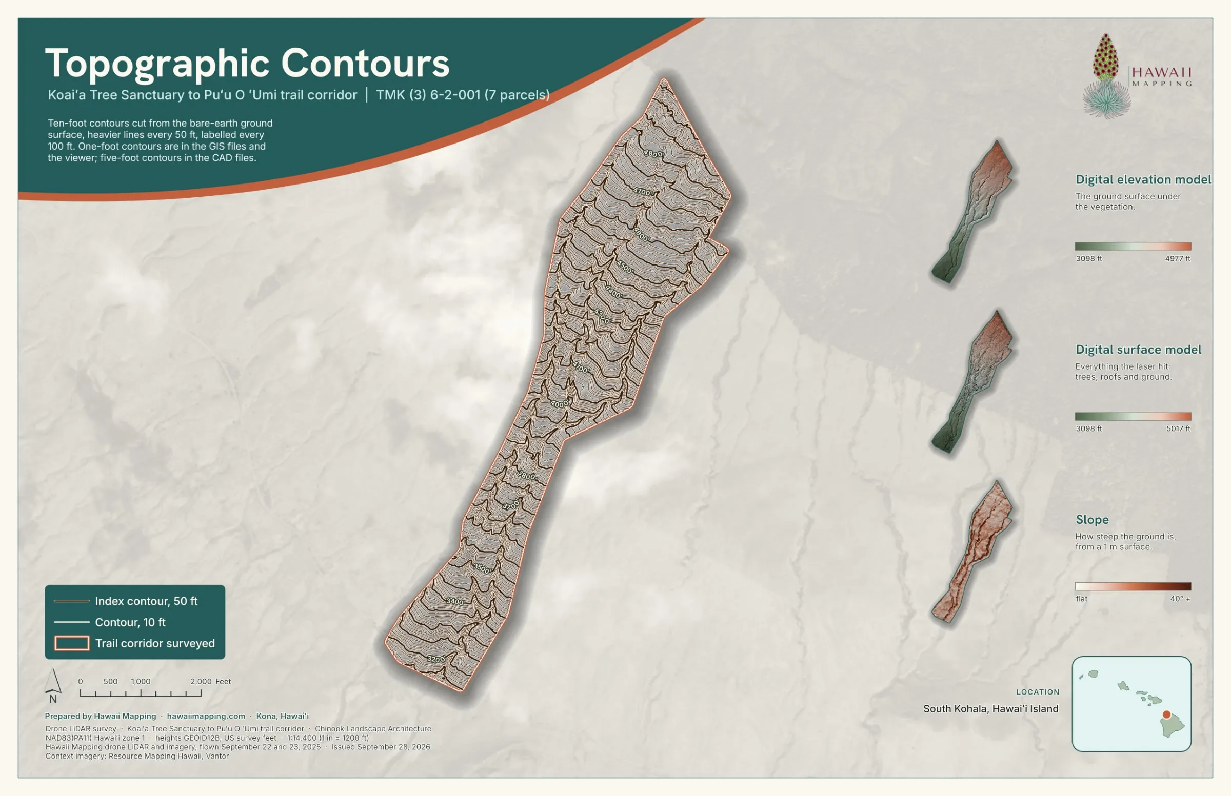 Koaiʻa: 372 acres mapped for new trails
 -
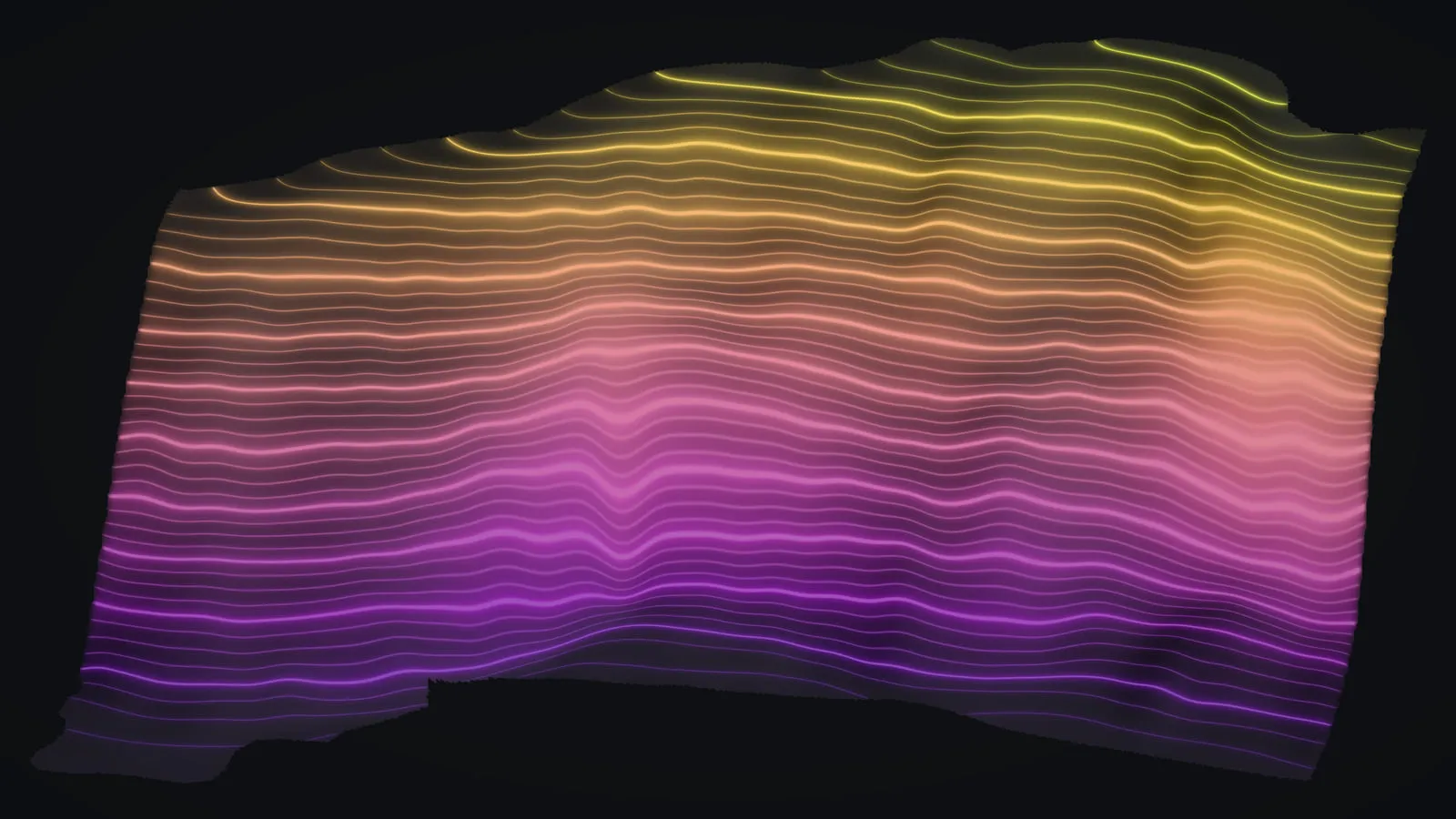 A sea cliff, face and all
 -
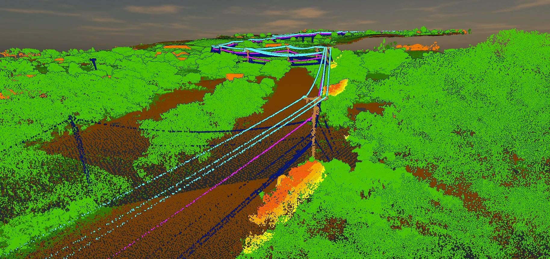 Power line corridors, 60+ miles flown
 -
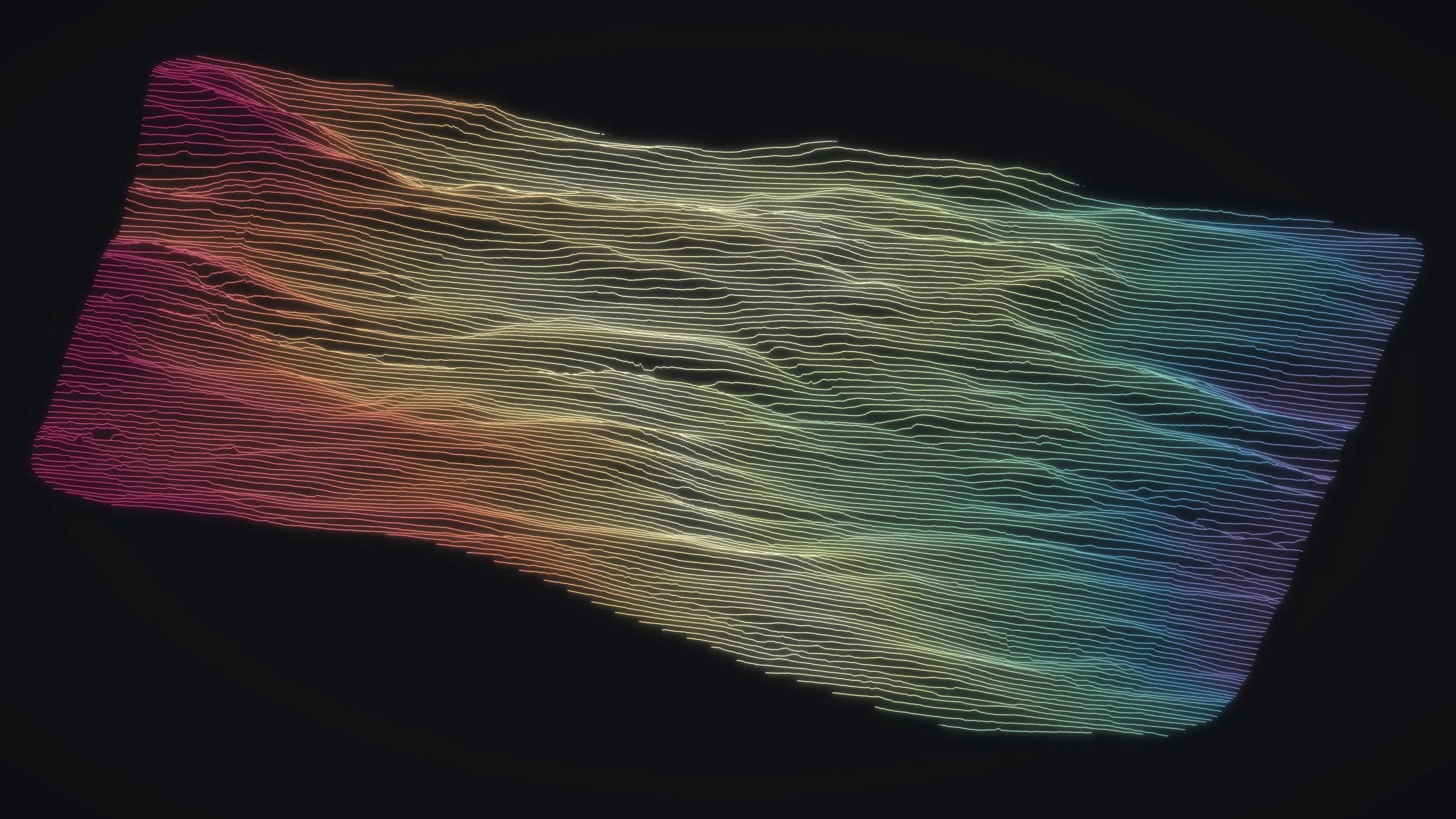 Maui farm planning
 -
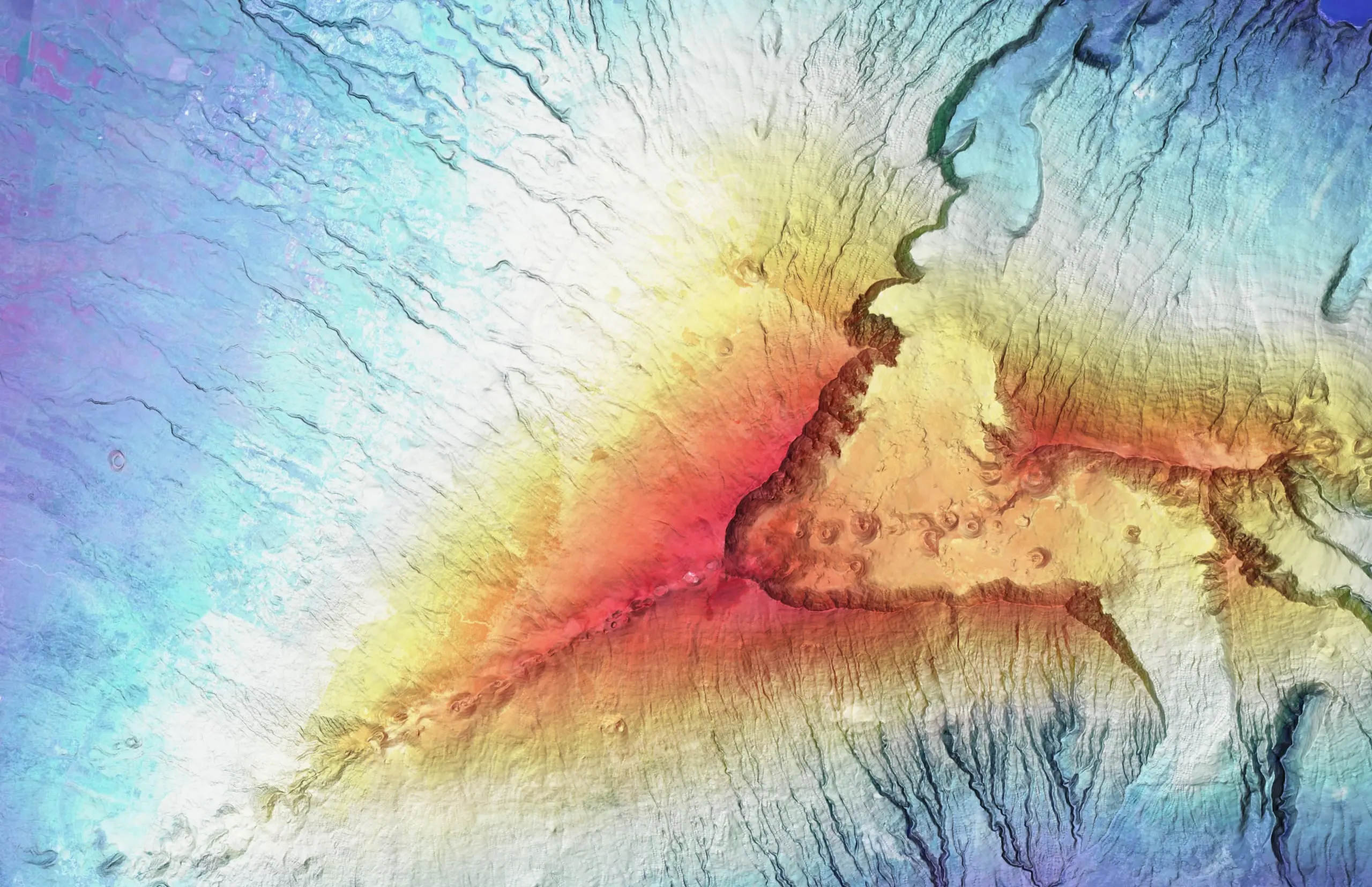
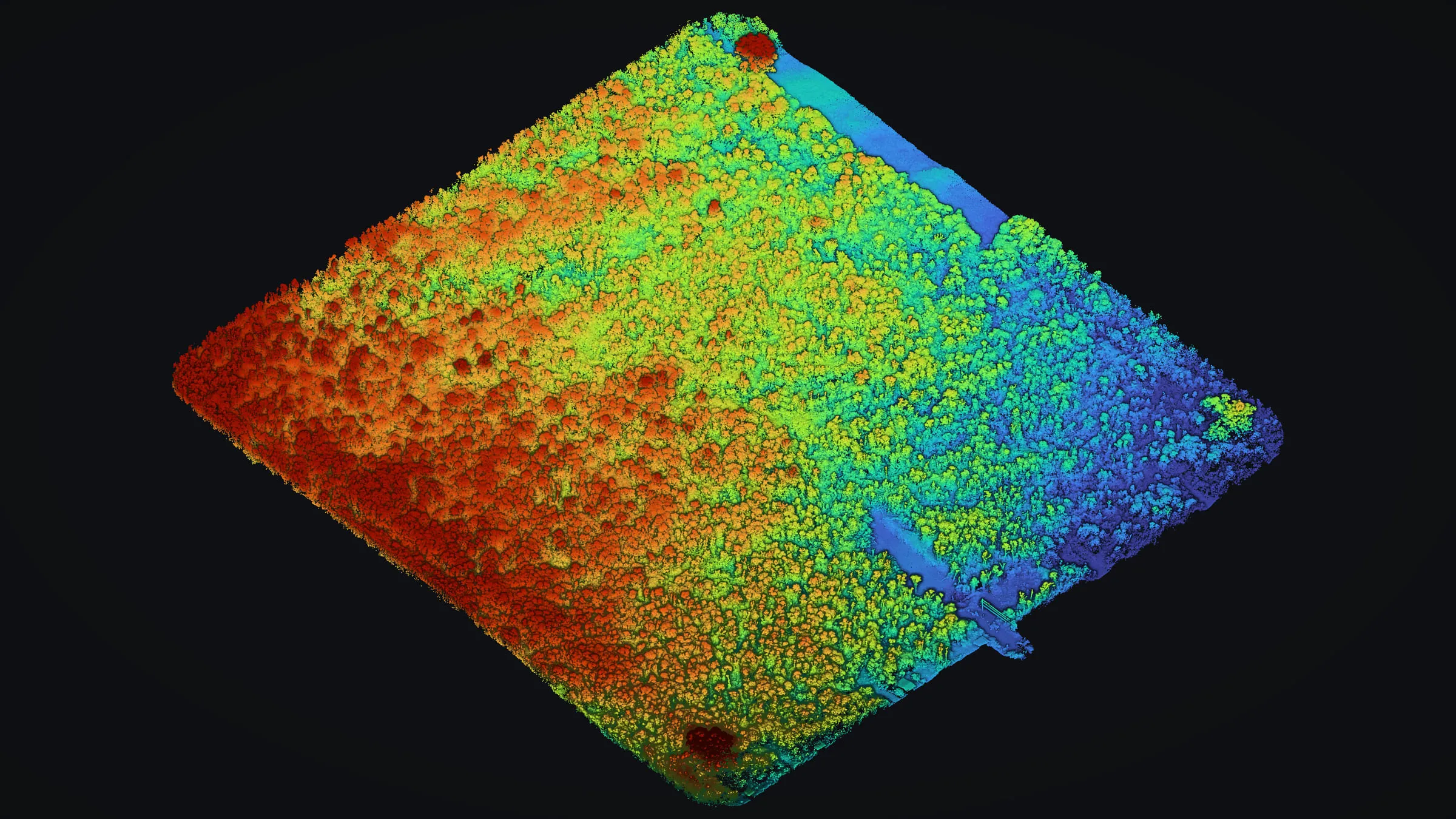 Mountain View: bare earth under closed forest
 -
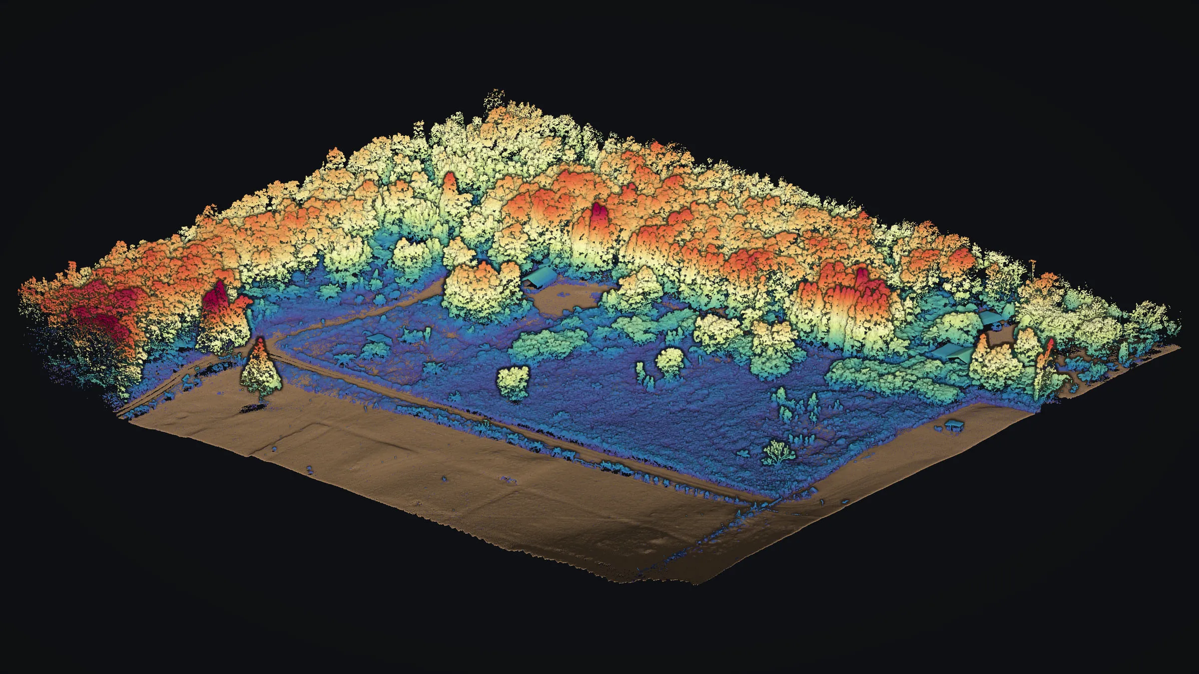 Volcano forest and pasture
 -
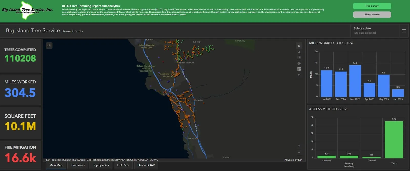 A tree crew program, run on our data
 -
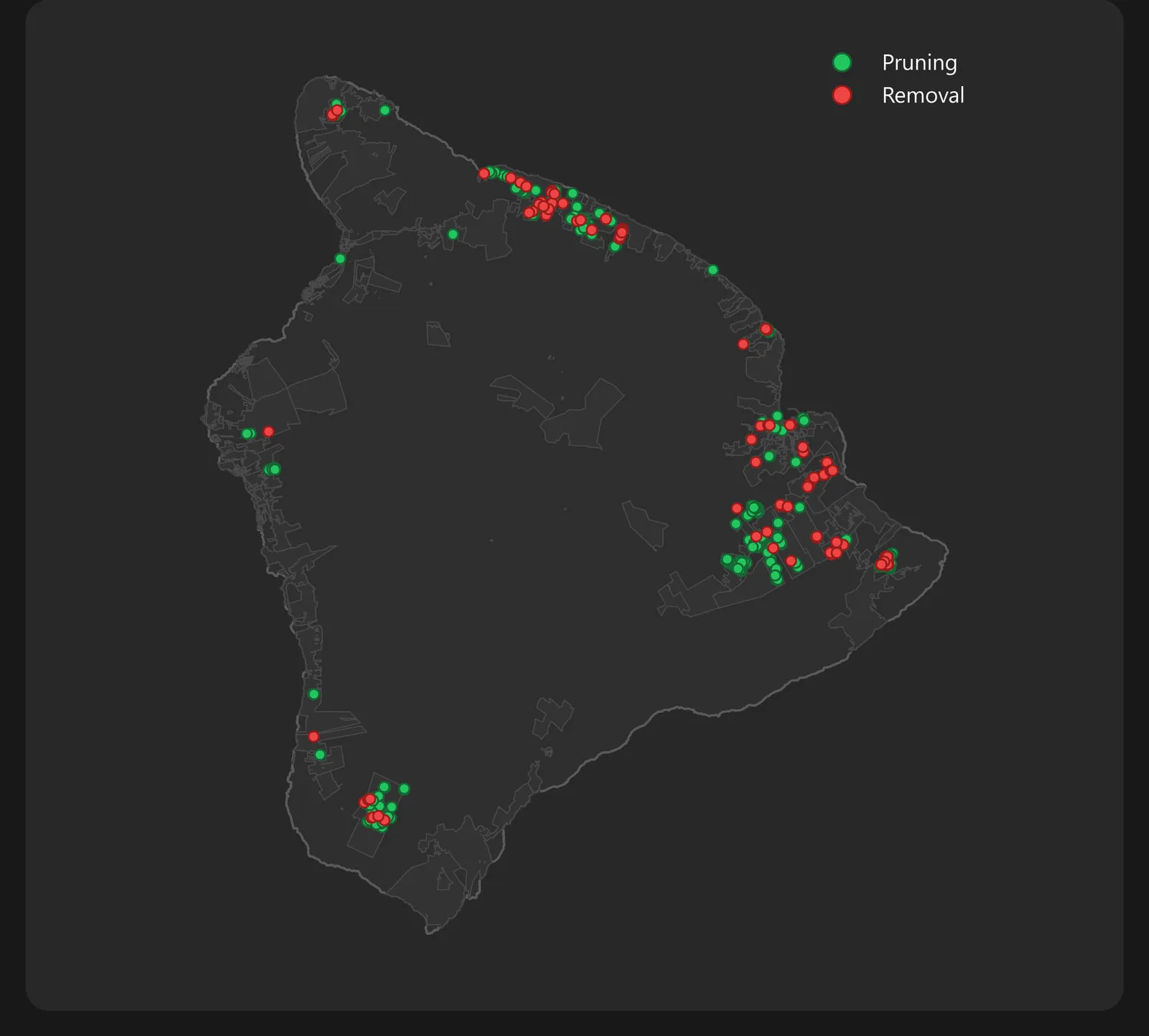 Hurricane Lala storm response
What we do
One Kona team for the whole job: we fly the site, process the LiDAR, run the analysis and deliver files your engineers and GIS staff already use.
- GIS consulting and application development
- Drone and aerial remote sensing
- LiDAR mapping and bare earth terrain models
- Aerial mapping and orthomosaics
- Tree canopy height and crown mapping
- Wildfire mitigation mapping for utility corridors
- Utility vegetation management data and dashboards
- Land and terrain mapping
- Conservation and cultural site mapping
Services
Geospatial services, built for Hawaiʻi terrain
From forest on the Kohala slopes to power line corridors and Upcountry farmland, we collect, process and deliver data you can act on.
GIS consulting and dashboards
Spatial analysis, web maps, ArcGIS dashboards and reporting that runs itself, put in front of the people making the call.
Learn moreDrone mapping
Orthomosaics, contours and 3D terrain of your site, delivered in the CAD and GIS formats your team draws in.
Learn moreDrone LiDAR
Classified point clouds and bare earth models that find the ground beneath dense Hawaiian forest.
Learn moreMultispectral mapping
Red edge and near infrared imagery, and the vegetation indices built from it, flown on request.
Learn moreSurvey123 and field data
Programmed tablet forms, support for the crews filling them in, and clean data feeding dashboards and monthly reports.
Learn moreForestry and vegetation
Canopy height, individual tree crowns, and the vegetation closing in on power lines, for foresters, landowners and tree crews.
Learn moreLand and terrain mapping
Terrain, slope and contour mapping for landowners and planners, including the ground hidden under the trees.
Learn moreConservation mapping
Native forest, restoration land and cultural sites, documented with a light footprint and respect for sensitive places.
Learn more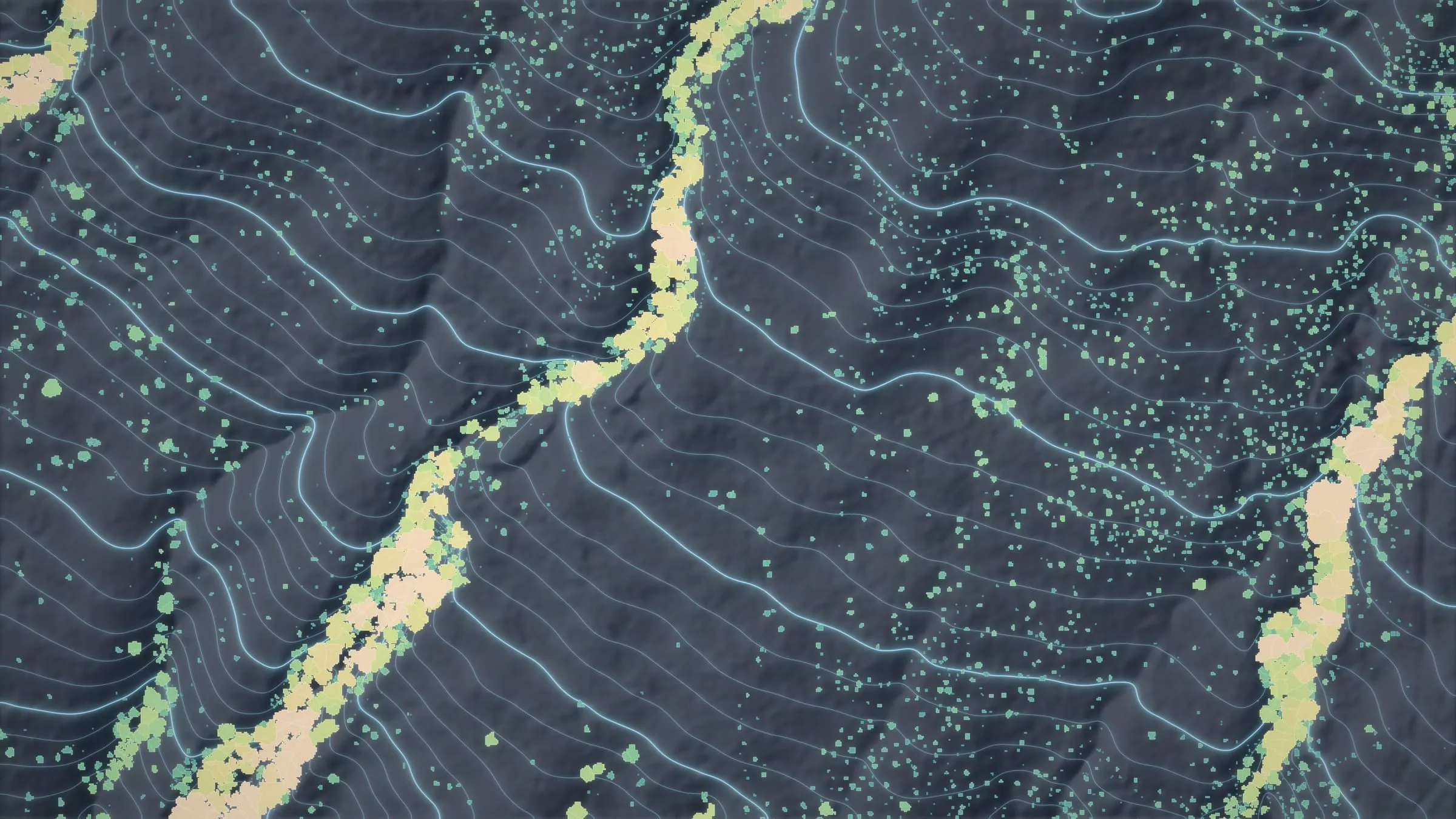
Featured project
Koaiʻa, mapped tree by tree
For Chinook Landscape Architecture we flew 372 acres of drone LiDAR on the Kohala slopes, where new trails are planned to climb from the Koaiʻa Tree Sanctuary. The planners got bare earth, contours and the forest crown by crown, and the data then went to two parts of DLNR, the Division of Forestry and Wildlife and Nā Ala Hele.
- A 1 ft bare earth model and 1 ft contours for laying out trails
- The canopy mapped tree by tree: 34,336 crowns and 34,513 treetops
- 760,978,949 points, delivered with a web viewer
Featured project
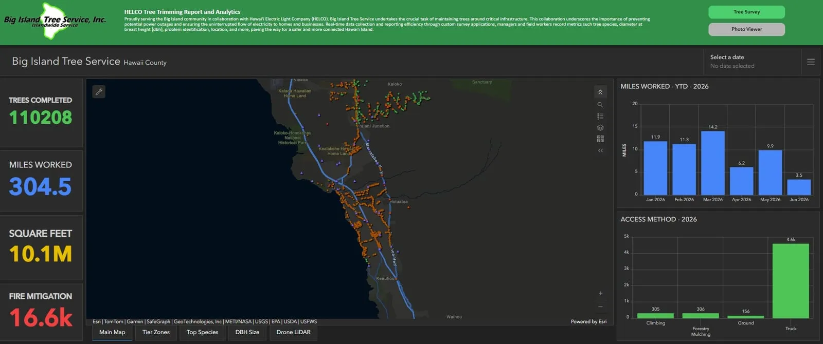
Running the data for a tree crew program
Big Island Tree Service keeps the trees clear of Hawaiian Electric's lines all over Hawaiʻi Island. We run the data side of that program, from the tablet form each crew fills in on the job to the report that builds itself on the first of the month, and we fly the corridors with drone LiDAR.
- The field data system: Survey123 forms in use since December 2023, now on 11 iPads, with live dashboards and a monthly report that has run on its own since April 2026
- Power line corridor LiDAR: 60+ miles flown, most of it inside the utility's highest fire risk tier, with the vegetation closing in on the wires flagged
- Hurricane Lala storm response: 1,860 trees of storm work settled into one set of numbers and one report
Wildland fire
Wildfire mitigation mapping, and the fire work we want next
Most of the power line corridors we fly sit in the utility's highest fire risk tier, and the crews we support log the trees they clear for fire mitigation as work of its own. We are wildland firefighters as well as mappers, and mapping fires here in Hawaiʻi is the work we want next.
Wildfire mitigation mappingNight infrared flights, hotspots and perimeters for an incident team are on our wildland fire mapping page.
Case studies
Land, forest and coast
Work for landowners, builders, planners and the groups that look after conservation land: farm ground on Maui, forested lots on Hawaiʻi Island and a sea cliff on the Big Island.
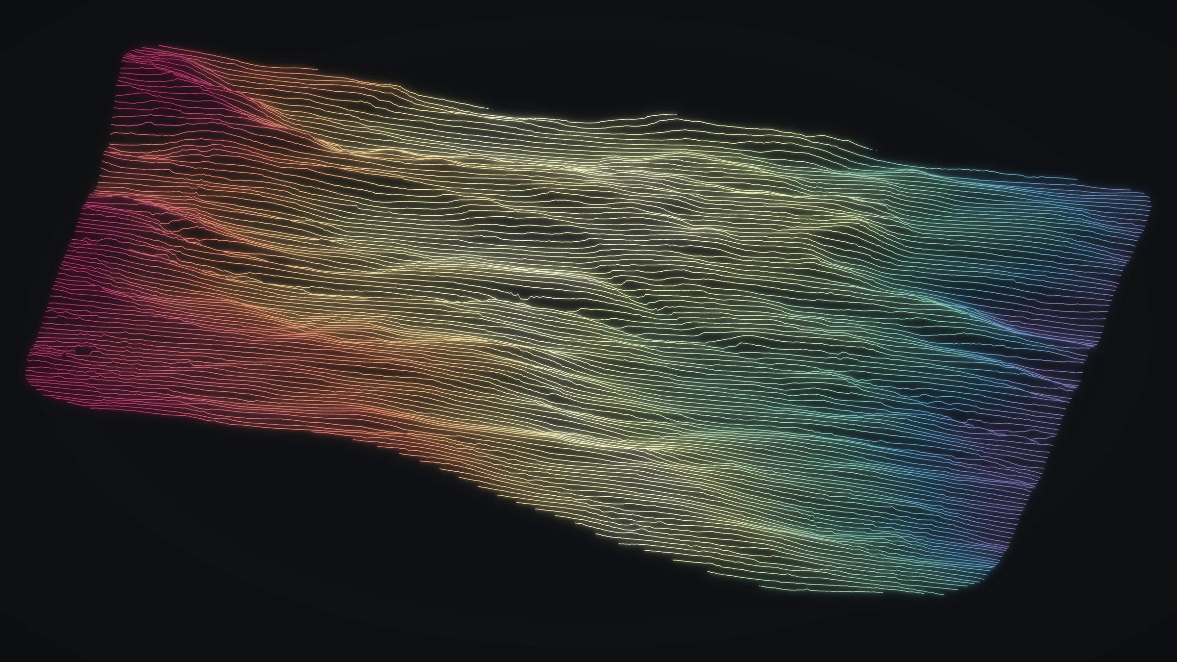
Maui farm planning
About 105 acres Upcountry and a small windward parcel, both flown in August 2025 for farm planning: the real slope, and the trees already standing on it.
Read the case study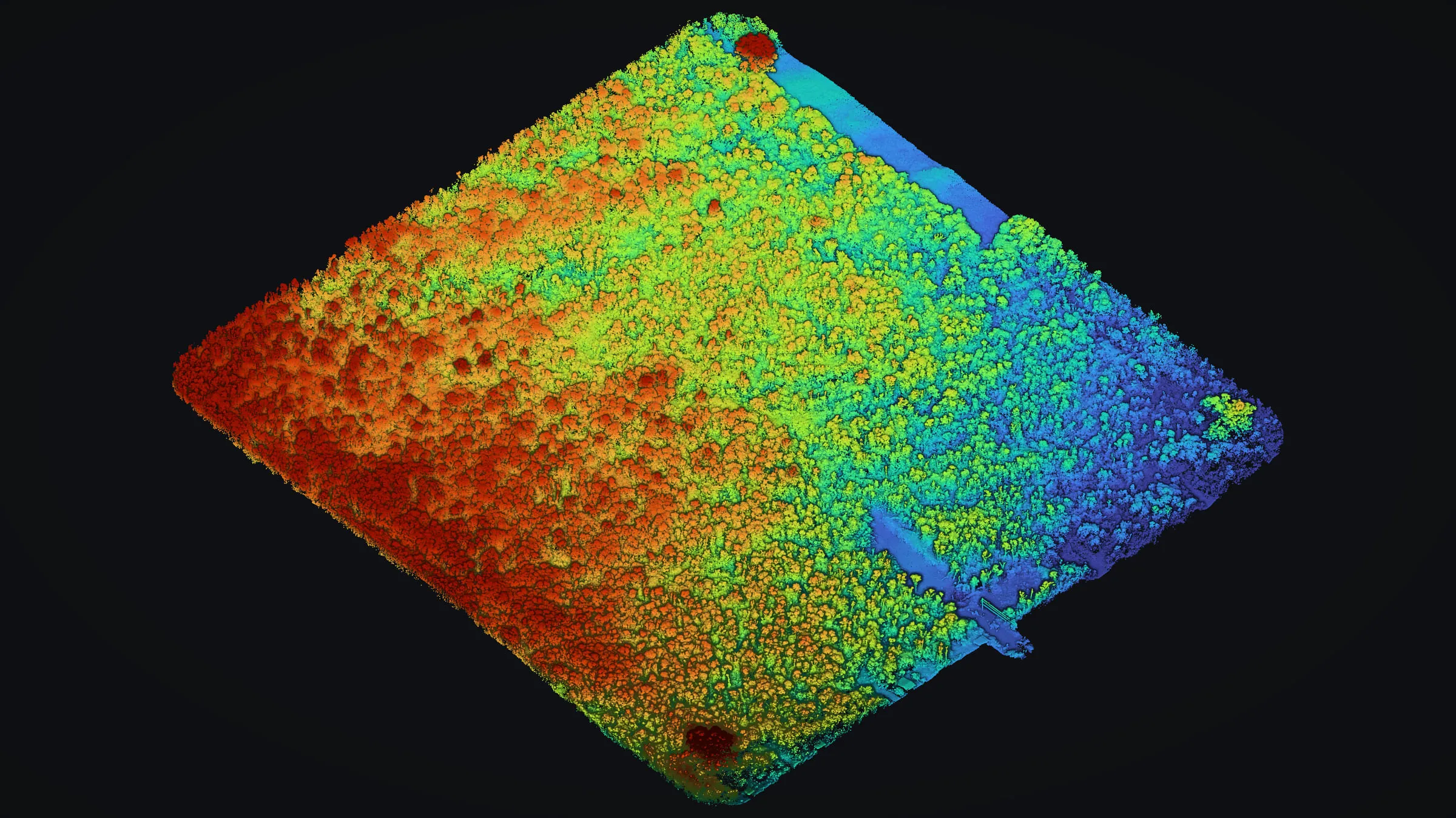
Mountain View LiDAR under forest
Trees taller than 20 ft cover 81 percent of this lot. Two flights still reached the old lava beneath them, delivered as 1 ft contours for CAD and GIS.
Read the case study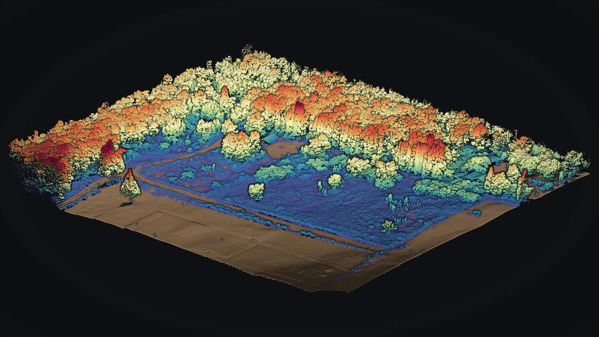
Volcano forest LiDAR
Canopy over 6 ft covers 42 percent of this wooded parcel. One flight measured the ground beneath it and the height of the trees above.
Read the case study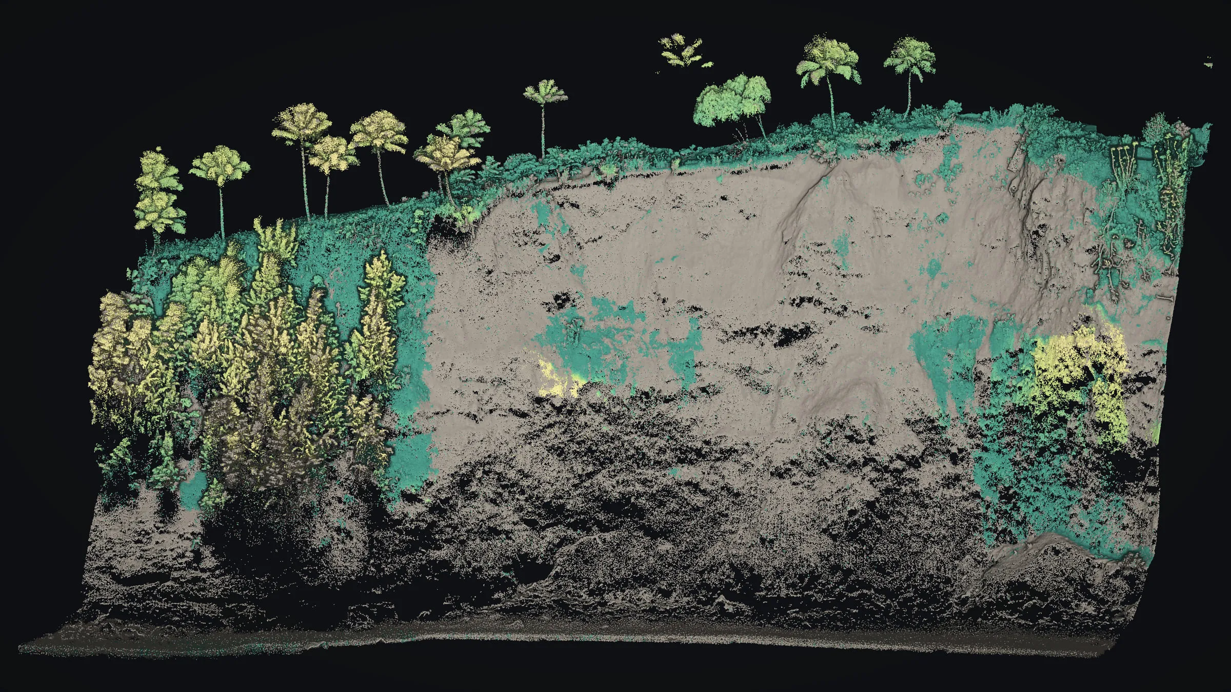
Cliffside erosion monitoring
Drone LiDAR down the face of a sea cliff, foot to top edge, standing as the fixed record that the next flight can be checked against.
Read the case studyAreas we serve
Every island, one team
Our base is Kona, and we fly every island, bringing a local read of the terrain and the trade winds without a mainland crew's travel costs. The drone is ready to go in Kona and can reach any other island quickly. That includes Molokaʻi and Lānaʻi, and Kahoʻolawe and Niʻihau by invitation only.
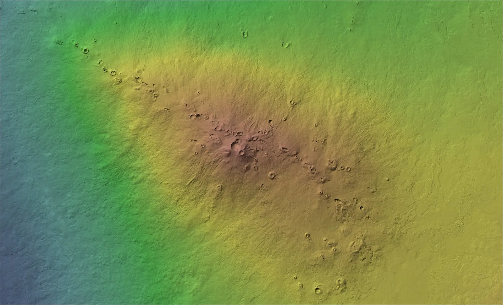
Hawaiʻi Island
Home base in Kona: power lines, forest lots, a trail corridor and a sea cliff
What we map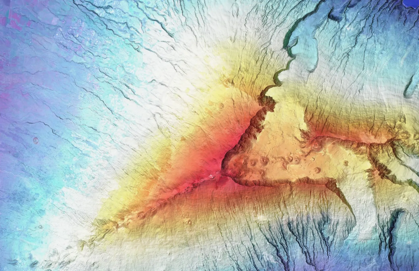
Maui
Farm planning data Upcountry and windward, on the island the founder grew up on
What we map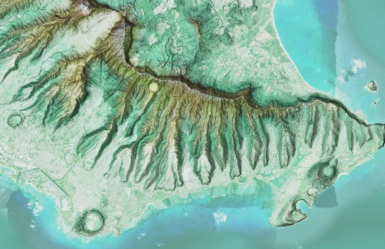
Oʻahu
Parcels, watersheds and corridors, from the lowlands to the ridgelines
What we map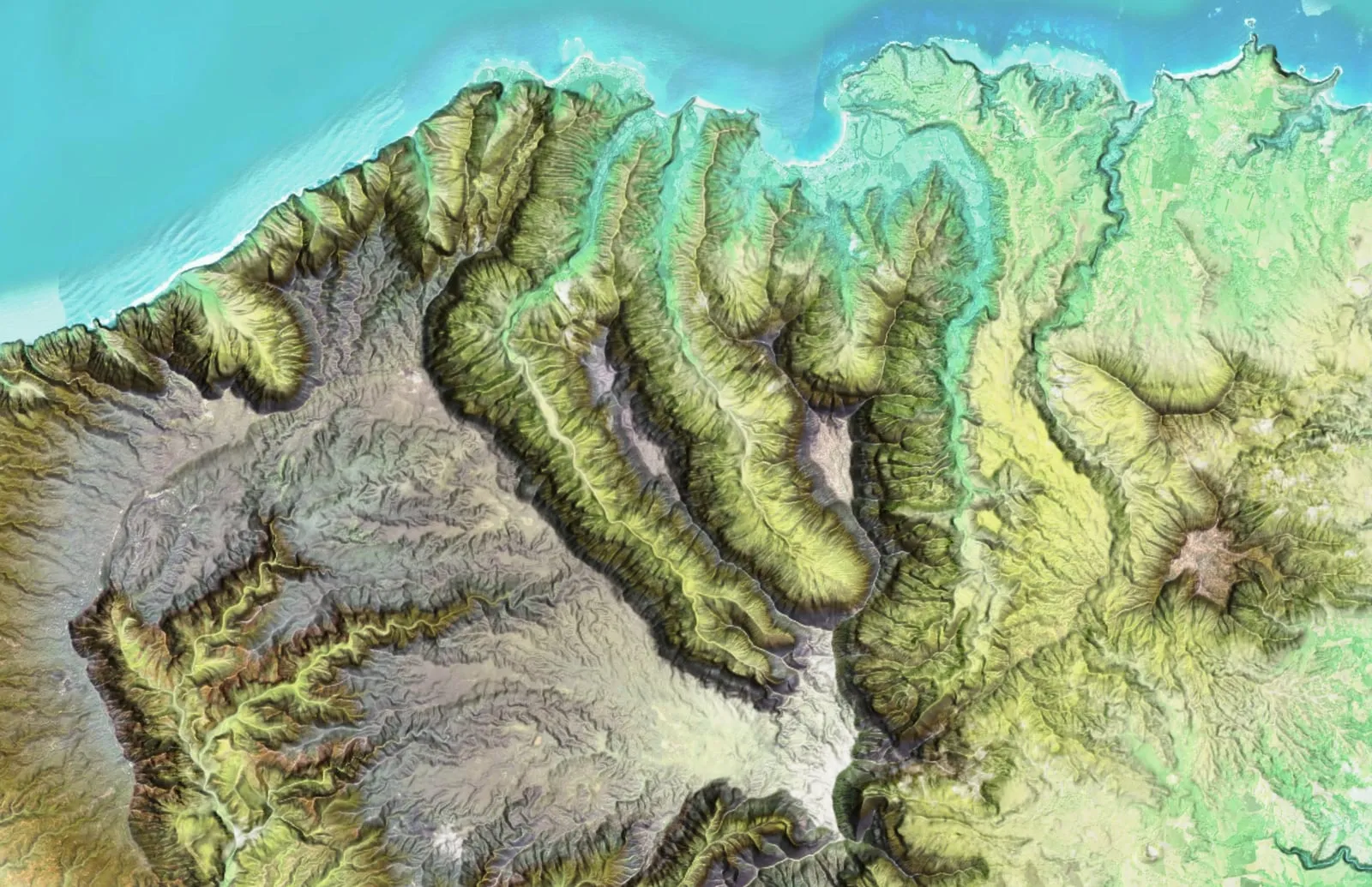
Kauaʻi
Steep, wet ground where a drone reaches what a crew on foot cannot
What we mapWhy the ʻāhinahina
Endemic to these islands. At home on the high ground.
The silversword on our logo is the ʻāhinahina. Its silver hairs let it live where little else can, high on Haleakalā and on the mountains of Hawaiʻi Island, and it grows nowhere else on Earth. We chose it because it belongs to these islands, as we do.
Community
Mapping in service of Hawaiʻi
We map farms and good causes at no charge, run drone demonstrations for students, and offer the same to Hawaiian cultural and nonprofit groups: a small kuleana to give back to the places we measure.
How we give backReady to put a drone over your site?
Send the island, the site and the date you need it by. We will come back with how we would fly it, the files you would get and the price.