
The most developed island, and still mostly mountain
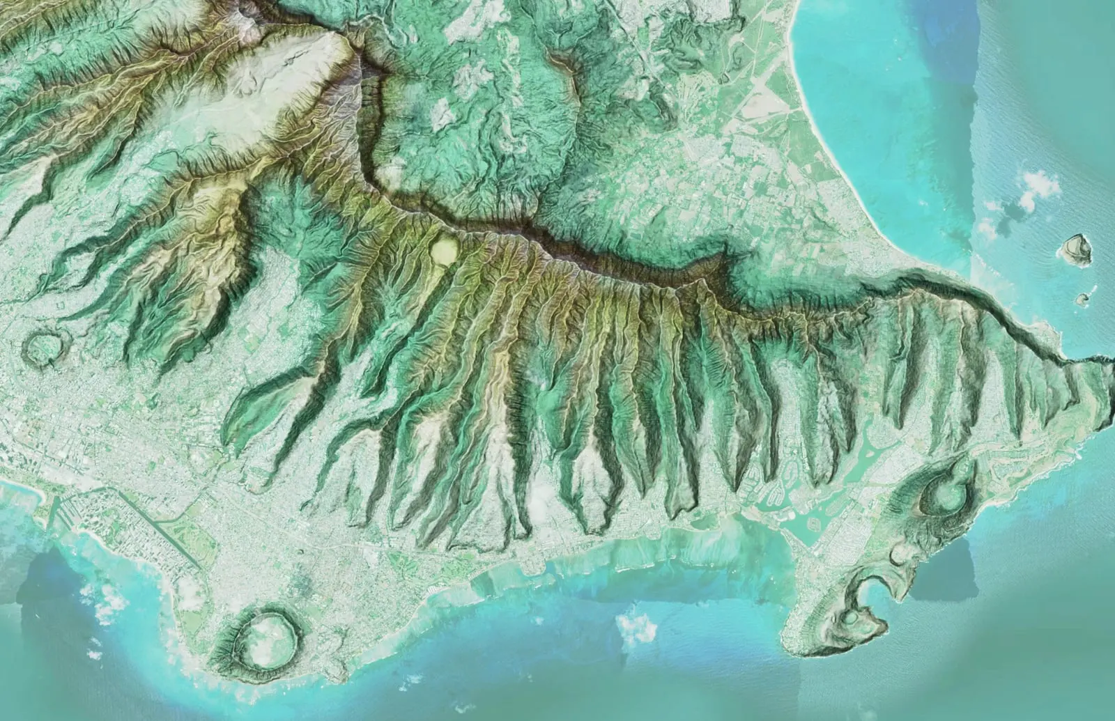
Most of Hawaiʻi's people live on Oʻahu, but beyond the urban core the island rises fast into the Koʻolau and Waiʻanae ranges and their steep, stream cut watersheds. That mix makes Oʻahu a place where detailed terrain, drainage, and vegetation data matter for both development and stewardship.
What mapping on Oʻahu covers
- Urban and suburban parcels: site mapping and planning
- Koʻolau and Waiʻanae watersheds: terrain, drainage, and vegetation
- Utility and infrastructure corridors
- Streams, shoreline, and land development support
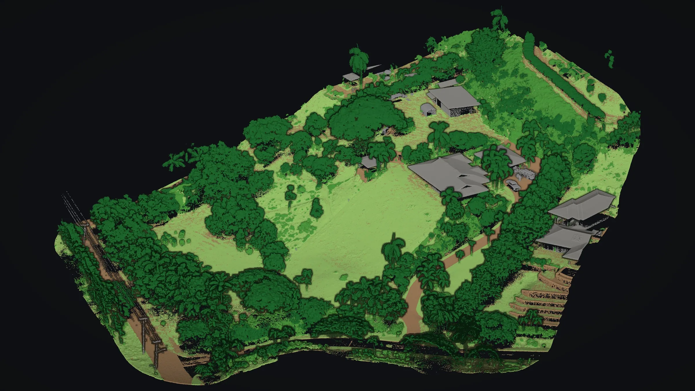
Whether you're an engineer planning a site, an agency managing a watershed, or a landowner who needs a clear picture of a parcel, we deliver the aerial mapping, drone LiDAR and GIS consulting to back the decision.
Before an Oʻahu job starts
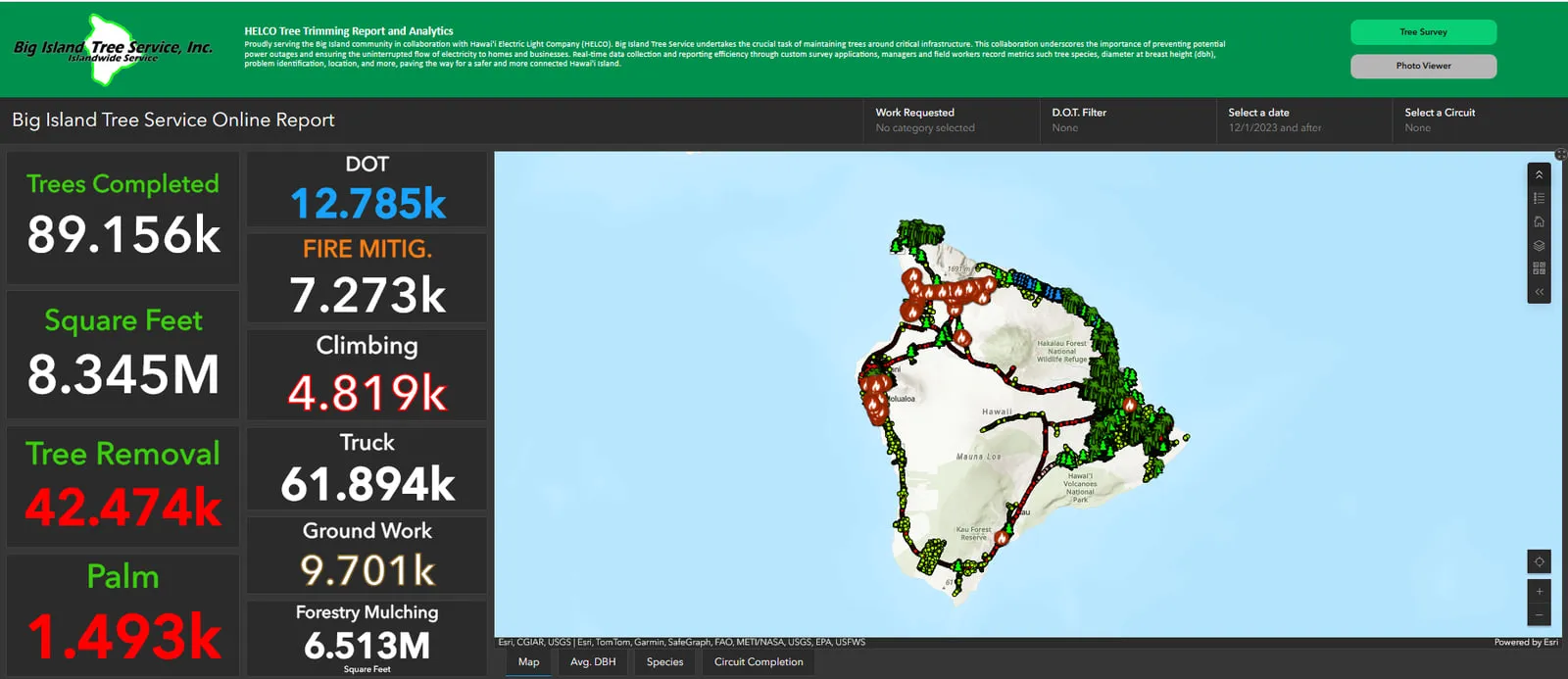
Plenty of GIS work needs no drone at all. The dashboards, field forms and monthly report behind Big Island Tree Service's work across Hawaiʻi Island are built and kept running from Kona, and an Oʻahu team can be served the same way, from the first data cleanup to the report that lands each month.
A flight in town takes more planning than one over open land. Honolulu's airport sits in Class B airspace, other airfields on the island have controlled airspace of their own, and the FAA's drone rules allow a flight in the controlled airspace around an airport only with its authorization in hand first. Send the address early, and asking for that authorization becomes part of our plan rather than a delay.
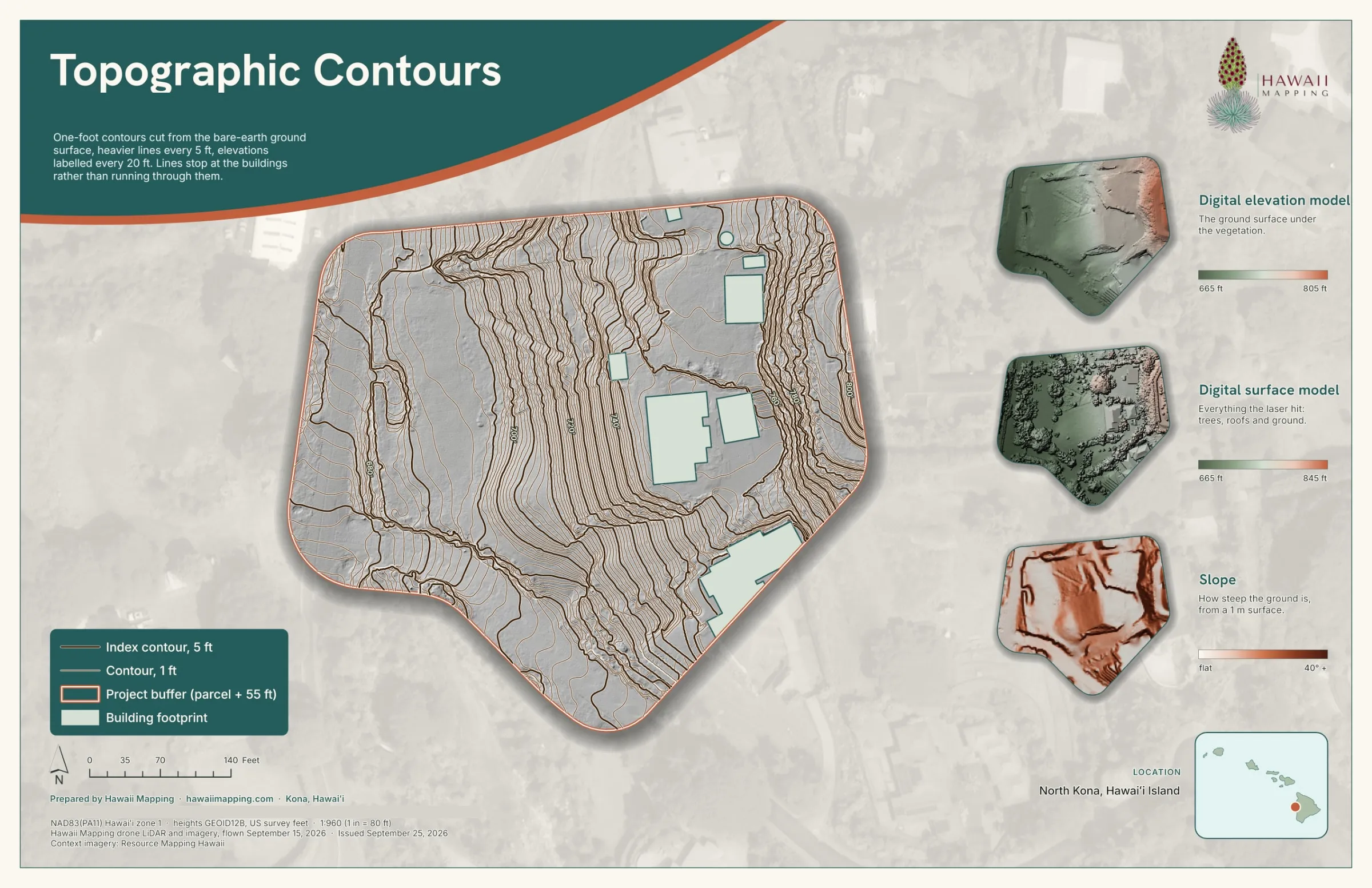
Oʻahu also has a State Plane zone of its own, zone 3 on NAD83(PA11). Our State Plane deliveries so far were in zones 1 and 2, on Hawaiʻi Island and Maui, so data for an Oʻahu site would come in zone 3 unless your drawings already use another system, and we agree the height reference with you before anything flies.
Oʻahu is a short hop from our base. The aircraft waits on Hawaiʻi Island, ready to go, and we can bring it over quickly, on the same day if the work calls for it.
The record behind that sits on the other islands: eight case studies covering power line corridors, farm ground, forested lots and a sea cliff, all flown and built by the same small team that would fly yours. Tell us about your Oʻahu site and we will lay out the flight and the files it produces.