
Areas we serve
Every Hawaiian island, one local team
Mapping on every Hawaiian island from our base in Kona, with a working knowledge of island terrain, trade wind weather and the agencies you answer to, and no crew to fly in from the mainland.
The islands
Where we work
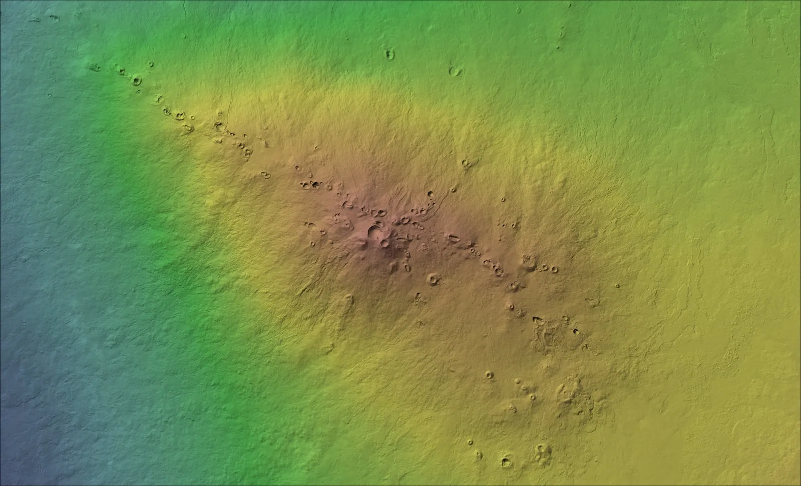
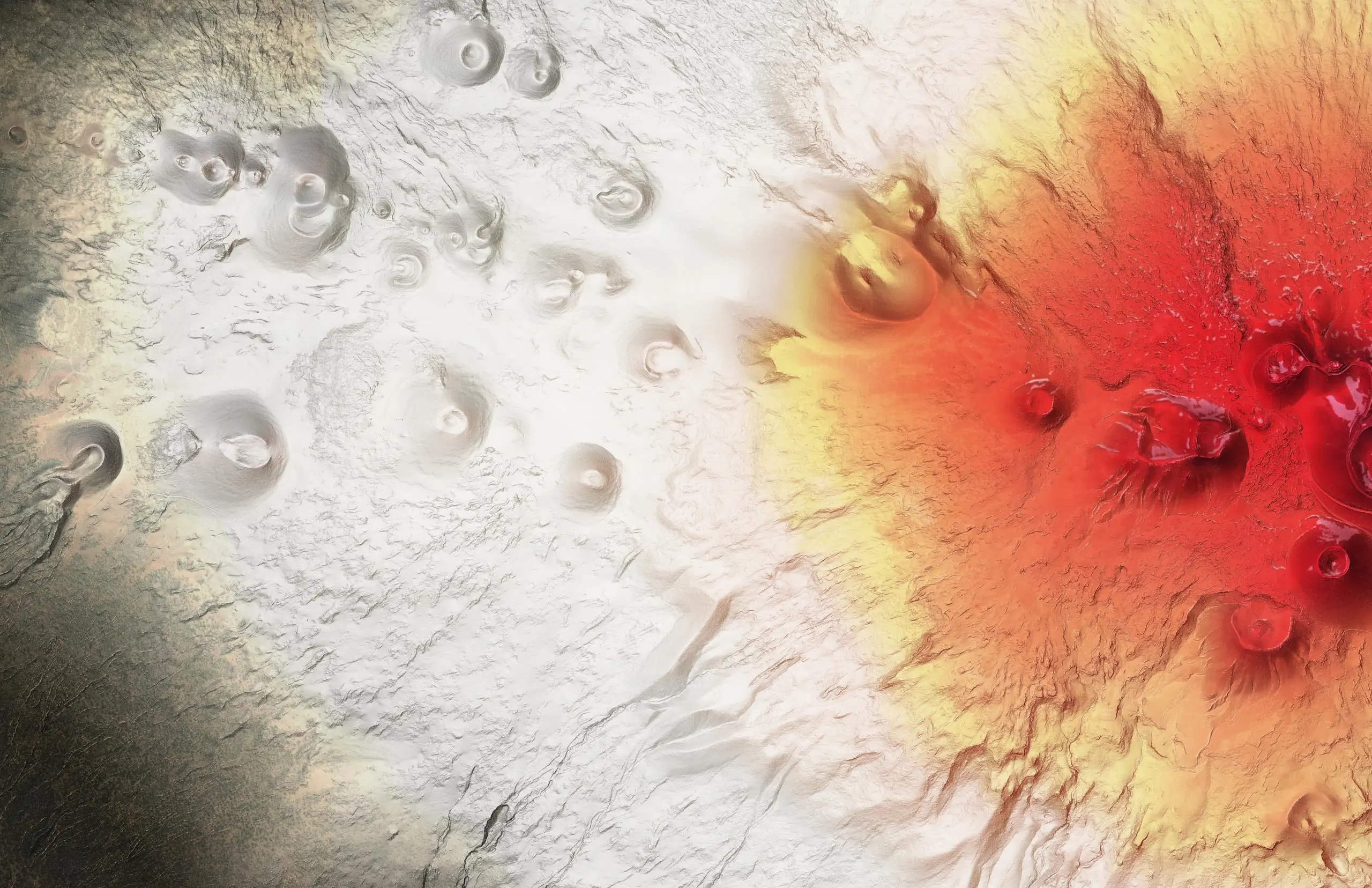
Hawaiʻi Island
Our home base in Kona, from Kohala and Waimea to Mauna Kea, Mauna Loa and Puna.
Explore Hawaiʻi Island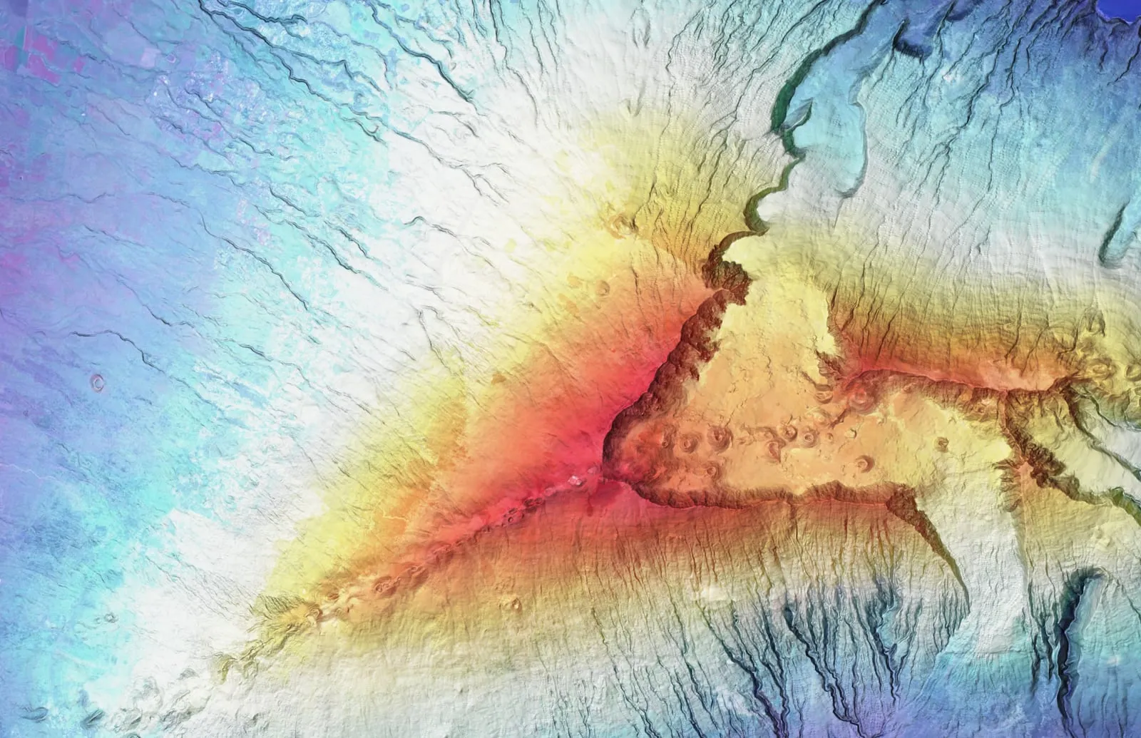
Maui
From Haleakalā's summit to the coast: farms, forest and watersheds.
Explore Maui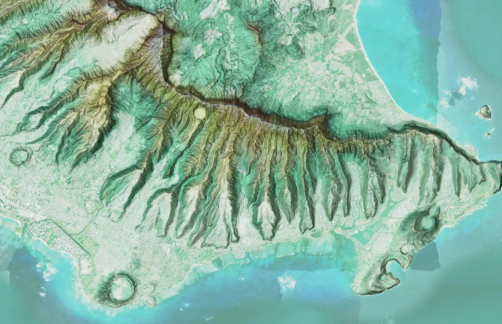
Oʻahu
Urban infrastructure out to the Koʻolau and Waiʻanae ridgelines.
Explore Oʻahu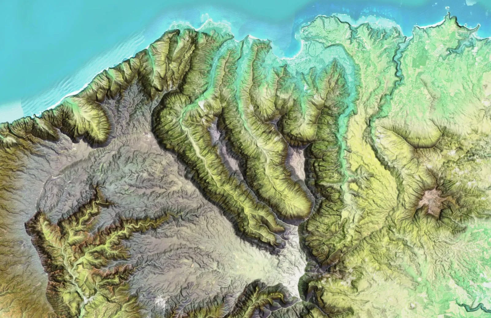
Kauaʻi
Rugged, remote terrain where access is hard and good data is harder.
Explore KauaʻiAnd the rest of the pae ʻāina
We cover every Hawaiian island, with Molokaʻi and Lānaʻi among them. Kahoʻolawe is a reserve held for cultural use and restoration, and no one goes there without permission from the State commission that looks after it; we would fly it only if the people caring for it asked us to. Niʻihau is private land, and we would fly it only with the owners' permission.
We keep the drone ready in Kona, and any other island is a quick trip away: the same day, or in time for that night's shift on a fire.
Every job on this site so far was flown on Hawaiʻi Island or Maui, and the case studies show what came back from each one. Explore the main islands above, or tell us your island and site and we'll take it from there.
Have a Hawaiʻi project that needs mapping?
Send the island, where the site is and the question the map has to answer. We will come back with how we would map it, what you would receive and what it would cost.