
The biggest island, the widest range of terrain
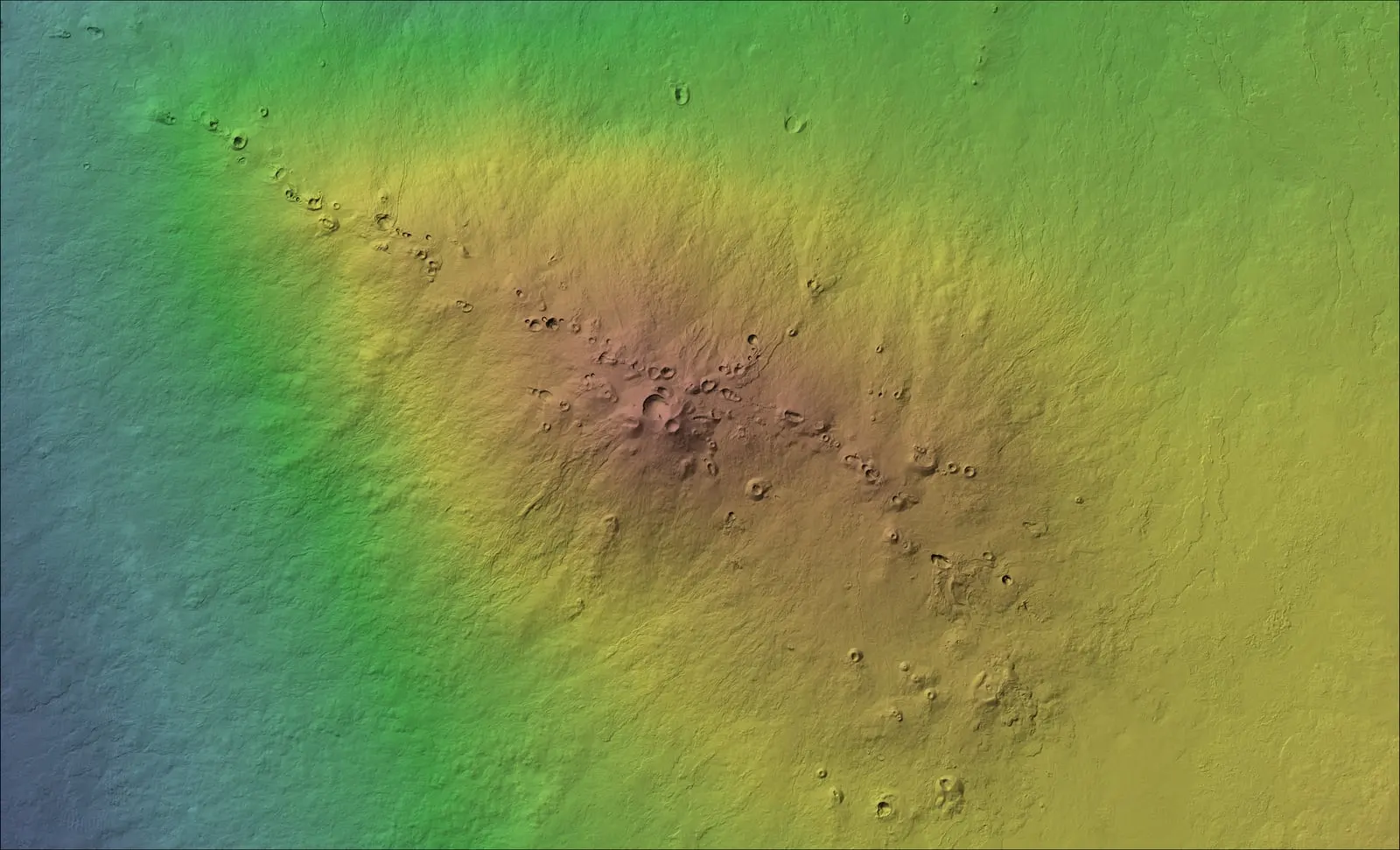
Hawaiʻi Island packs more climate and terrain into one place than anywhere else in the chain: wet windward forest from Hāmākua to Puna, dry leeward slopes in Kona and Kohala, the alpine summits of Mauna Kea and Mauna Loa, young lava flows, and ranch country across Waimea and Kaʻū. Each demands a different flight plan, and being based here means we already know them.
Where we work
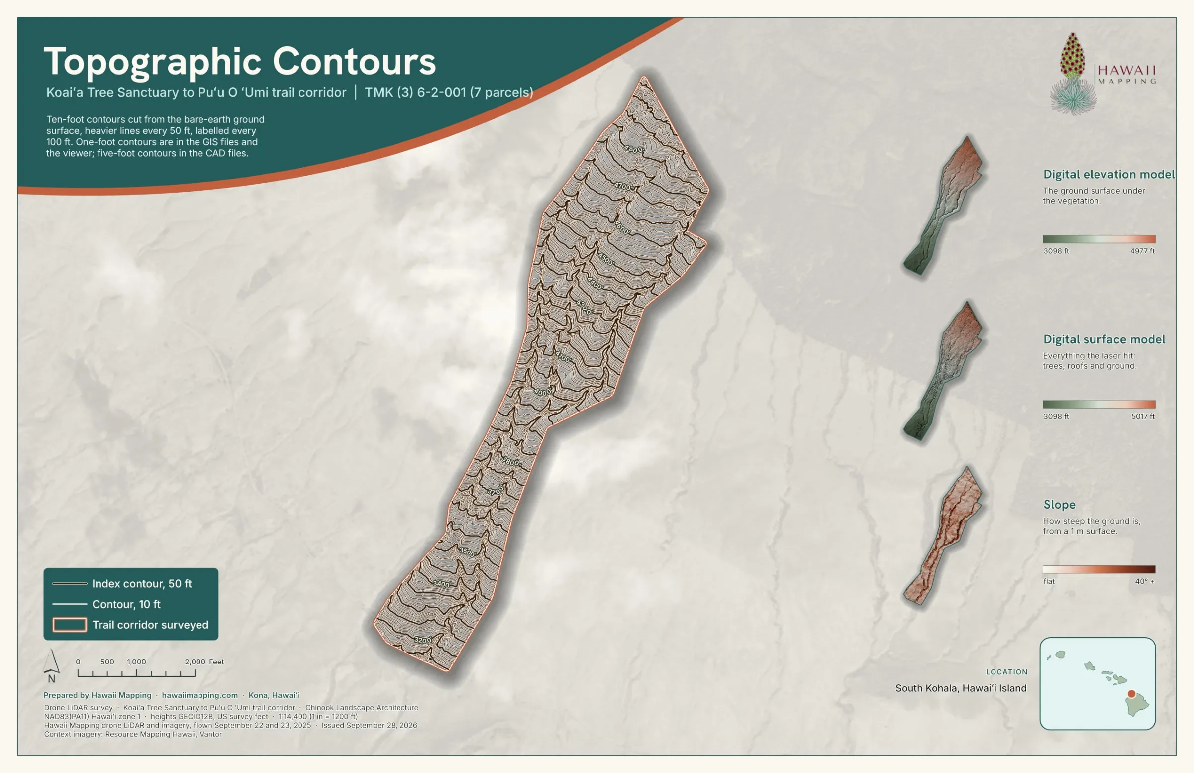
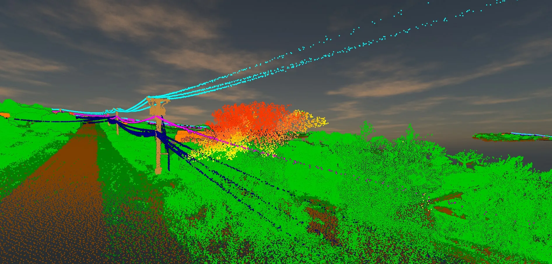
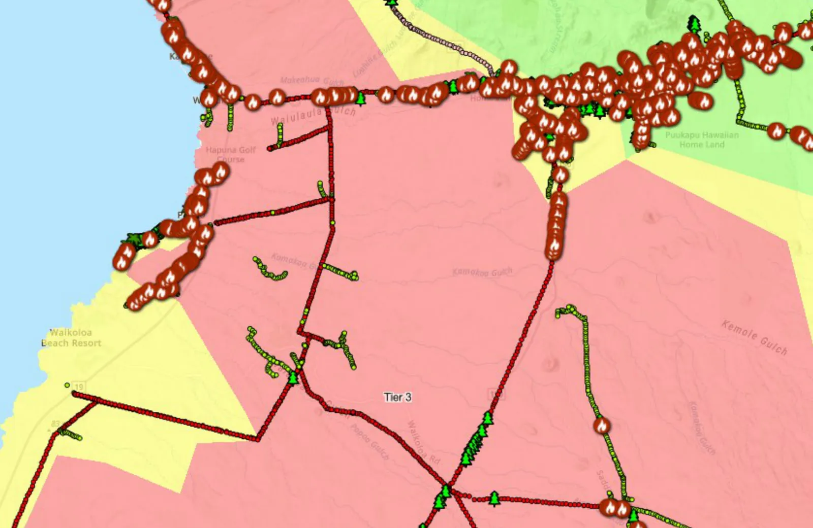
- Kohala and Waimea: drone LiDAR of power line corridors around Kawaihae, Waikoloa, Waikiʻi and Kohala Mountain Road, and the Koaiʻa trail corridor on the Kohala slopes
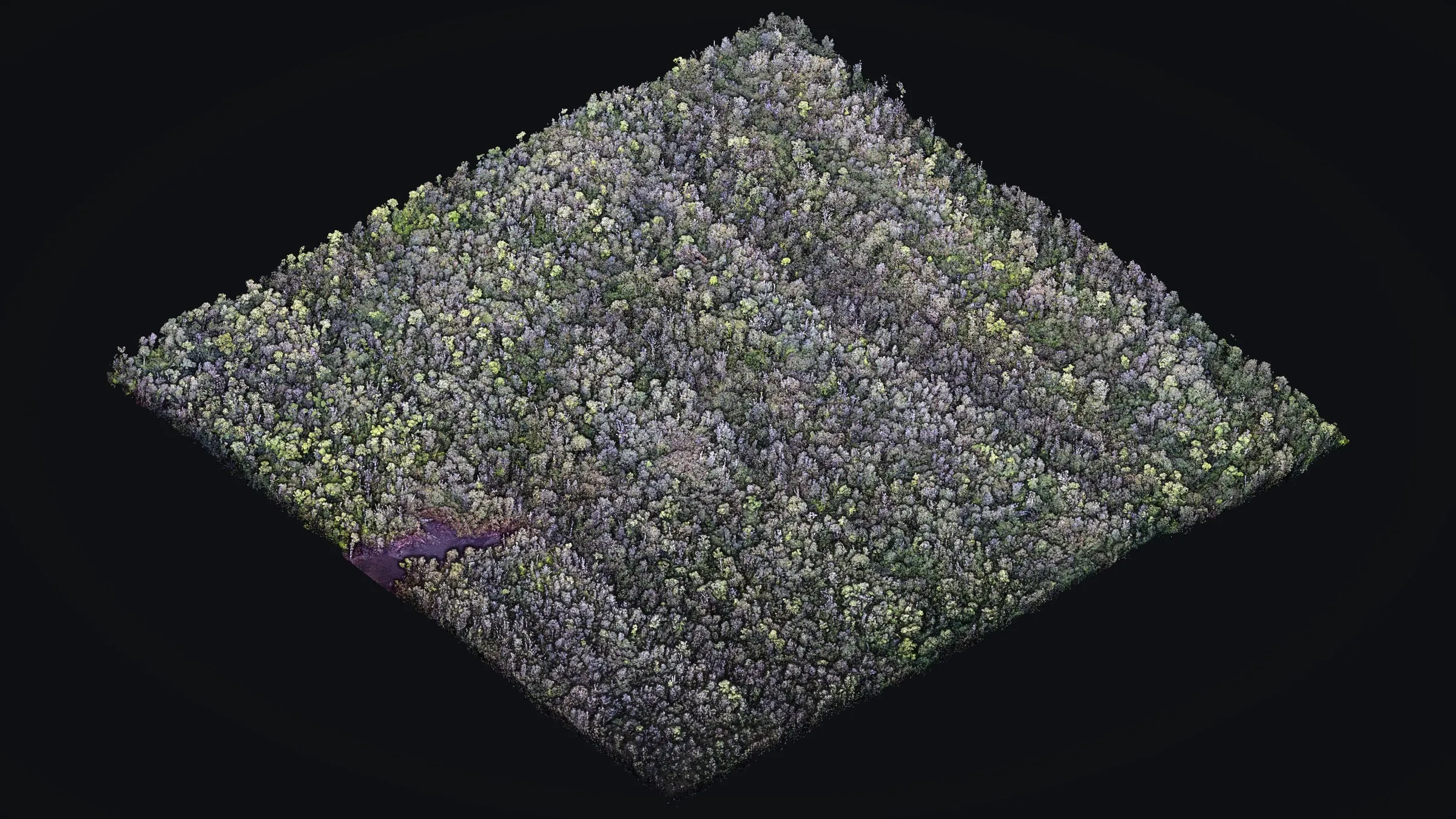
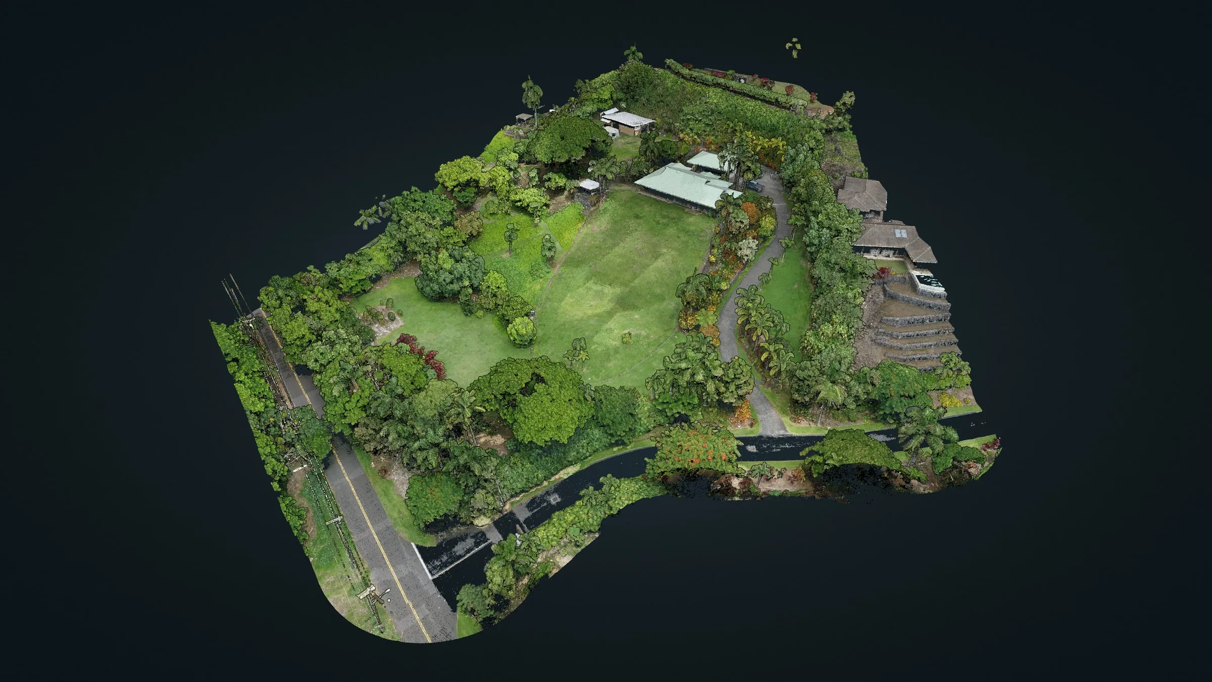
- Puna: bare earth under closed forest in Mountain View, and forest around a pasture in Volcano
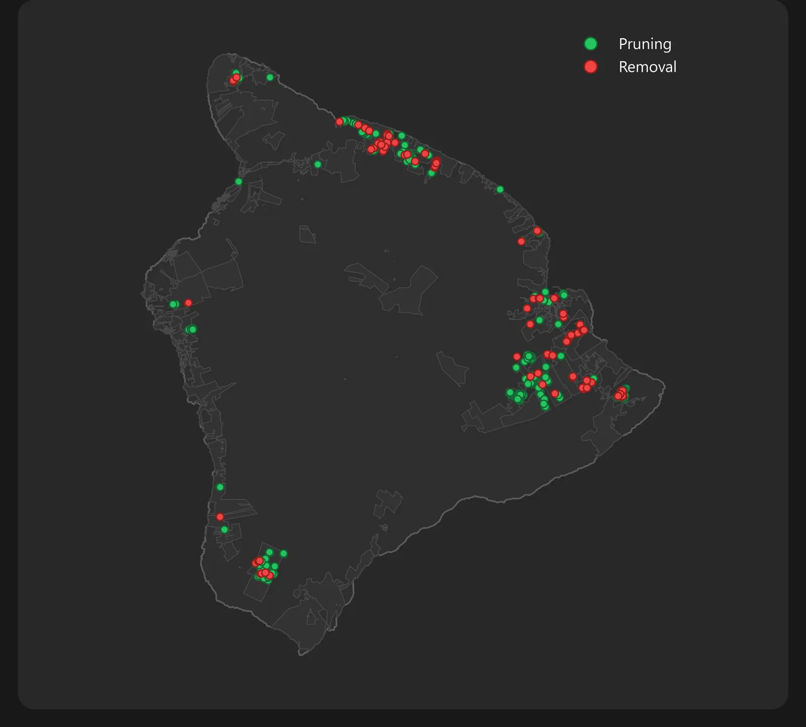
- Island wide: the field data, dashboards and reporting behind Big Island Tree Service's vegetation crews, in normal weeks and after a storm
- Kona: our home base, and a power line LiDAR demonstration along Aliʻi Drive in 2024
Power lines, tree crews and fire risk
Most of our work on this island runs through Big Island Tree Service, the contractor that keeps vegetation clear of Hawaiian Electric's lines here. We built and run its field data system, from the crews' tablet forms to the report each month, and we fly its power line corridors with drone LiDAR, flagging the trees and brush growing toward the wires. After Hurricane Lala in August 2026 we turned the crews' storm records into one reconciled storm report. Most of the corridor we fly falls inside the utility's highest fire risk tier, which is where our wildfire mitigation mapping is done. For a fire already burning, drone fire mapping is the other side of that work, and this island is where we want to do it.
Land, forest and trails
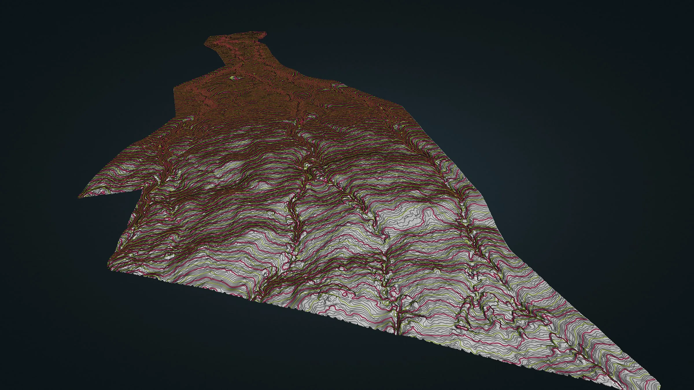
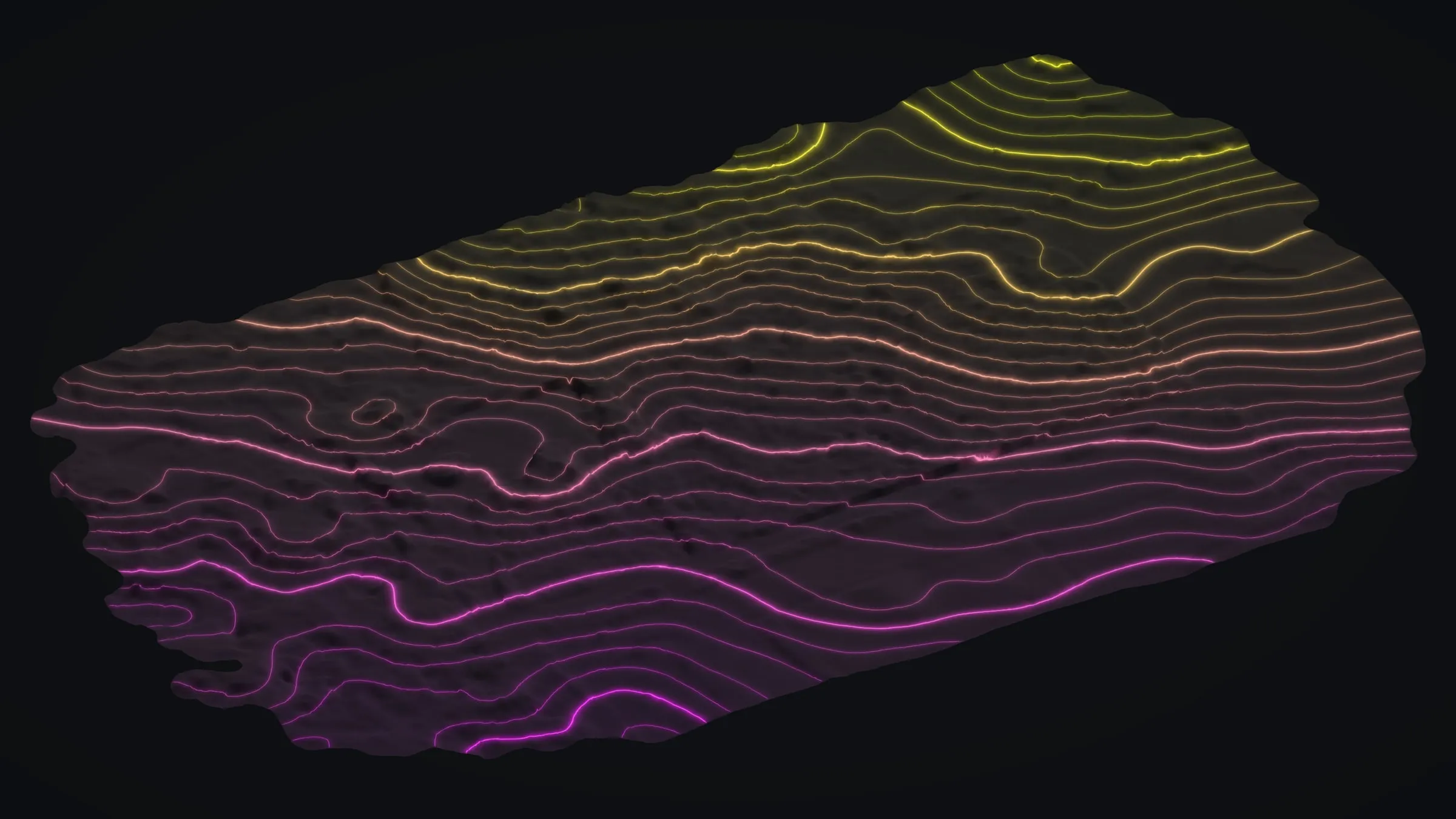
Drone LiDAR is how we map ground that trees have covered up, and this island gives it plenty to do. For trail planning on the Kohala slopes, Chinook Landscape Architecture had us fly 372 acres at Koaiʻa, and the datasets went on to DLNR. In Puna we mapped a forested lot in Mountain View where trees hide nearly all the ground, and a wooded parcel in Volcano, where one flight measured both the lava surface and the trees standing on it.
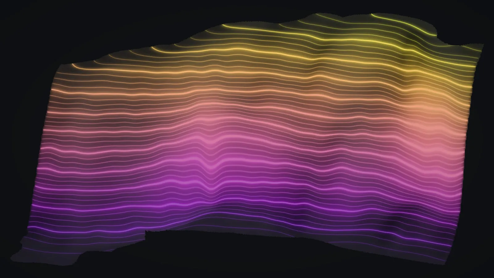
Coastal ground too: with drone LiDAR we recorded a sea cliff on the Big Island from its foot to the top edge, a first measurement for later flights to be compared with.
Getting to your site
Our drone is based in Kona and ready to go, so a site anywhere on this island is a drive away. Most parcels take one or two flights, usually with a GNSS base logging on the ground while the drone is up: the Volcano parcel was one flight of about 15 minutes of recording, and the 372 acres at Koaiʻa took two days.