
Projects
Hawaiʻi projects, real deliverables
Real jobs flown and built on Hawaiʻi Island and Maui, grouped by the kind of work. Each case study shows the job, what we flew or built and what came back.
Utilities and wildfire
For utilities, tree crews and fire mitigation: field data, storm reporting and drone LiDAR of power line corridors on Hawaiʻi Island.
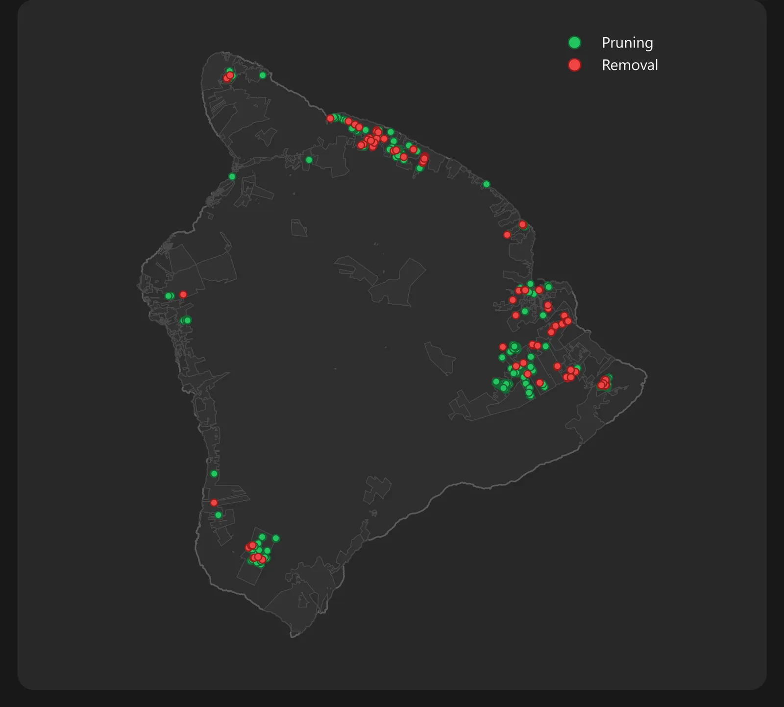
Hurricane Lala storm response
The crews worked the storm along the lines. We pulled their field records and 958 photos together, settled one set of counts and built the storm report.
Read the case study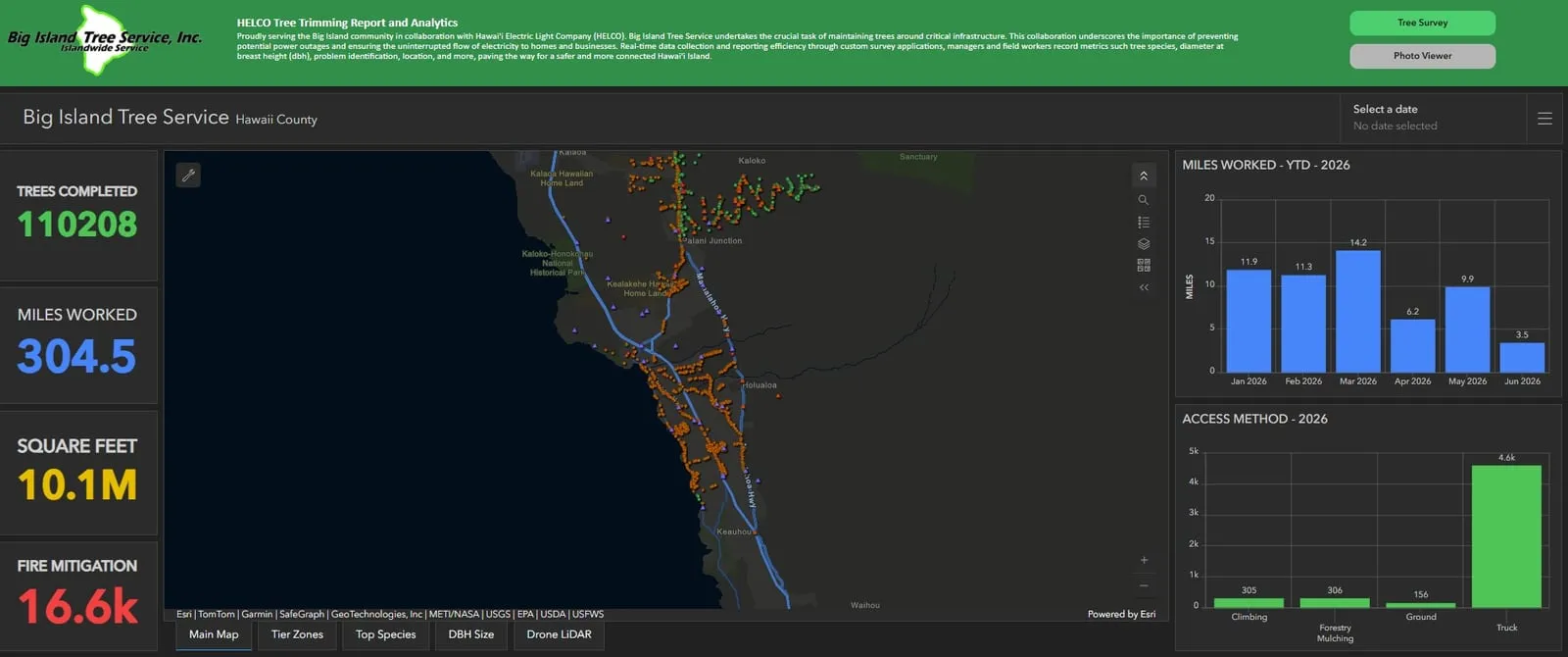
Vegetation management data
Survey123 forms on 11 iPads, a daily check of what the crews send, live dashboards and a monthly report that now builds itself. The crews have logged their work this way since December 2023.
Read the case study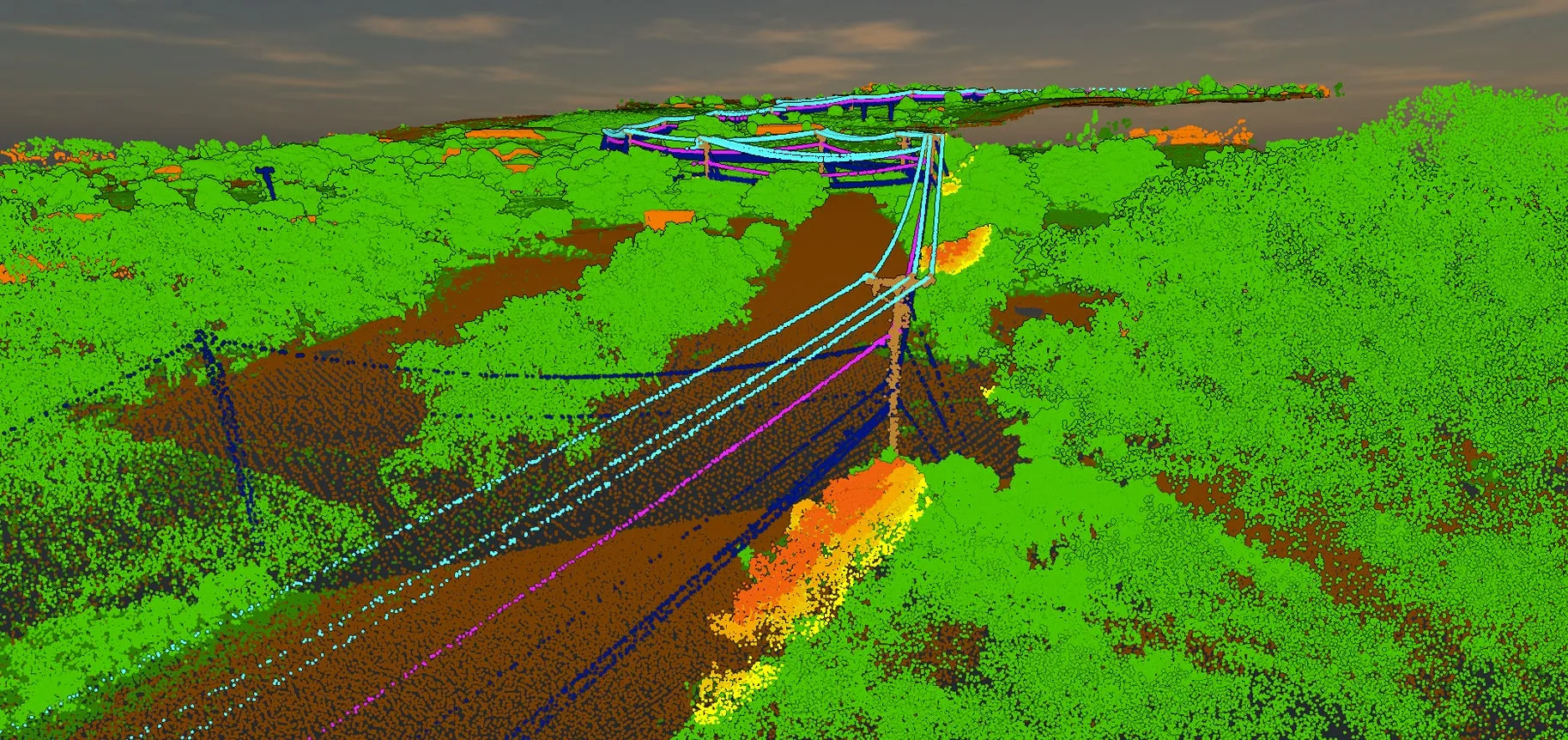
Power line corridor LiDAR
Drone LiDAR of power line corridors: 60+ miles flown, most of it in the highest of the utility’s three fire risk tiers, with vegetation near the wires flagged by its distance to them.
Read the case studyLand and planning
For landowners, builders and planners: bare earth, contours and canopy height from drone LiDAR, on Maui farmland and forested land on Hawaiʻi Island.
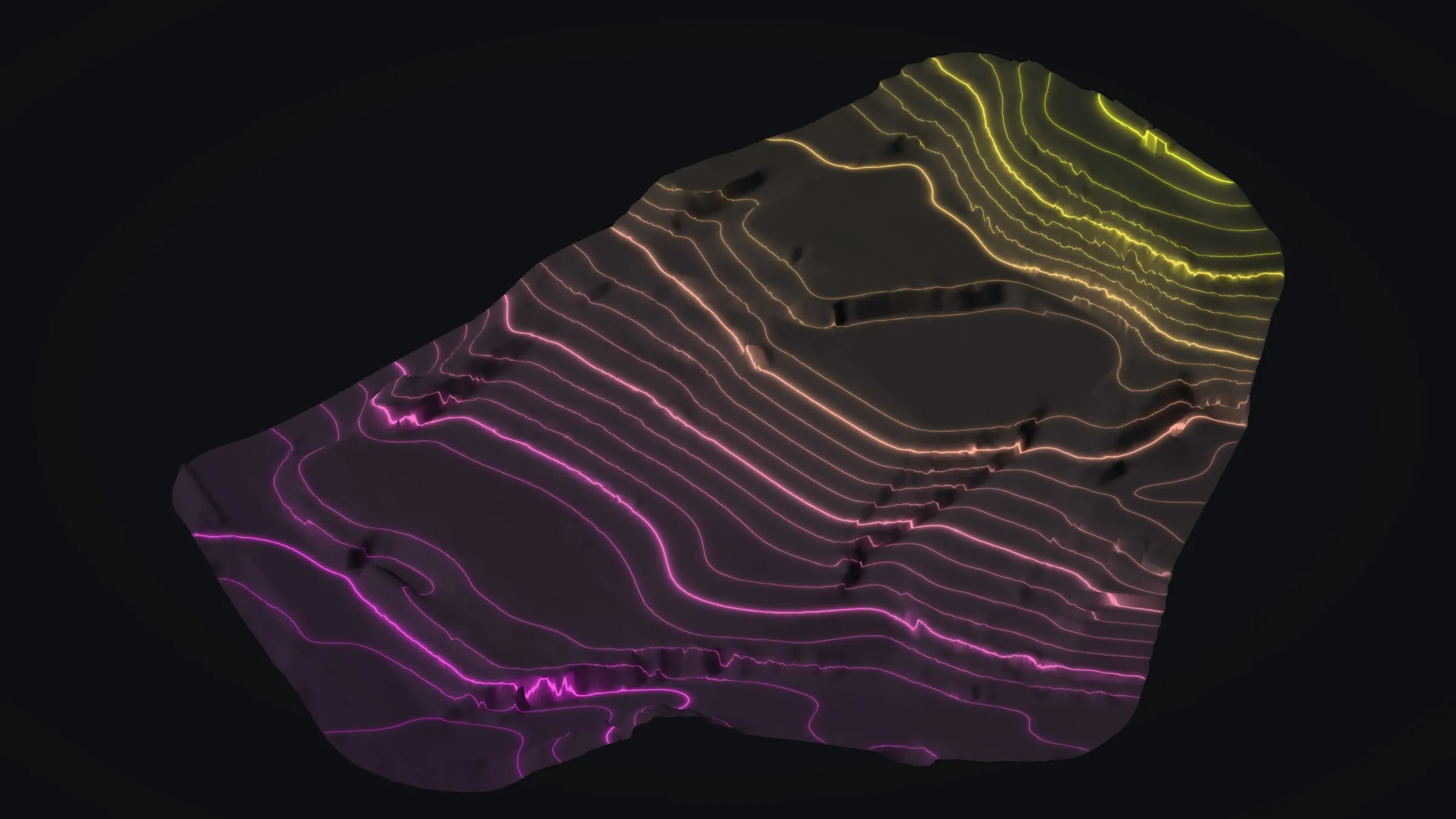
Kona hillside LiDAR
A 3 acre terraced lot mapped before new building: 57.5 million points, 1 ft contours, slope and canopy, heights checked against USGS lidar to 0.25 ft.
Read the case study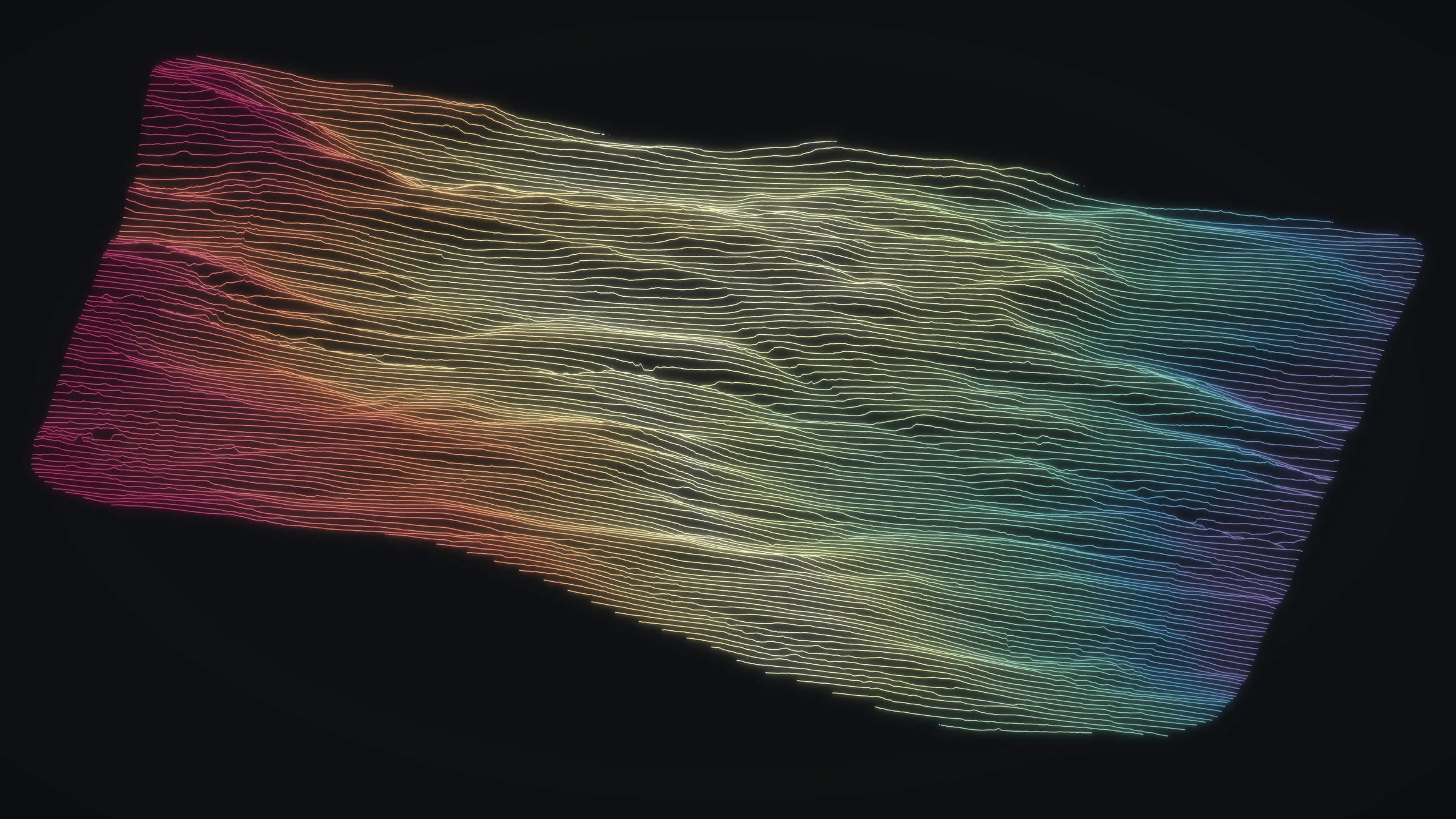
Maui farm planning
Two farm sites flown in August 2025, at Kēōkea in Upcountry Kula and in Haʻikū: bare earth, contours and canopy height to lay fields out on.
Read the case study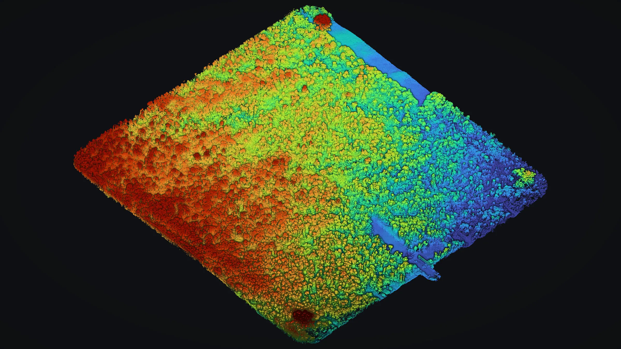
Mountain View LiDAR under forest
A lot under closed forest: two flights at different heights, a base station on site, and bare earth with 1 ft contours in CAD and GIS.
Read the case study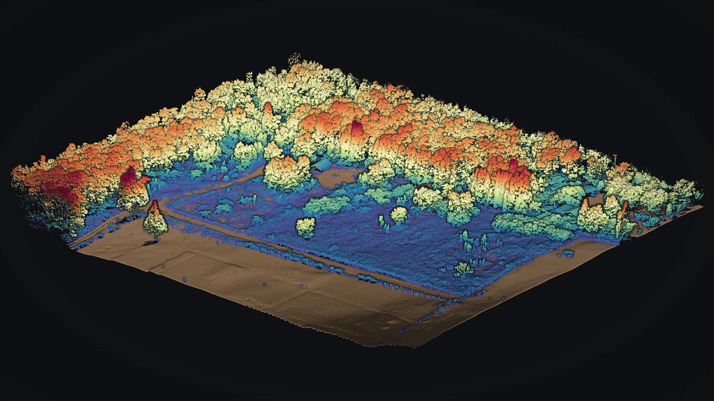
Volcano forest LiDAR
One drone LiDAR flight over forest and pasture, sorted into ground and trees: bare earth of the lava beneath, and how tall the canopy stands above it.
Read the case studyConservation
For conservation land and the people who plan and look after it: trail planning above a tree sanctuary, and a measured baseline for a sea cliff.
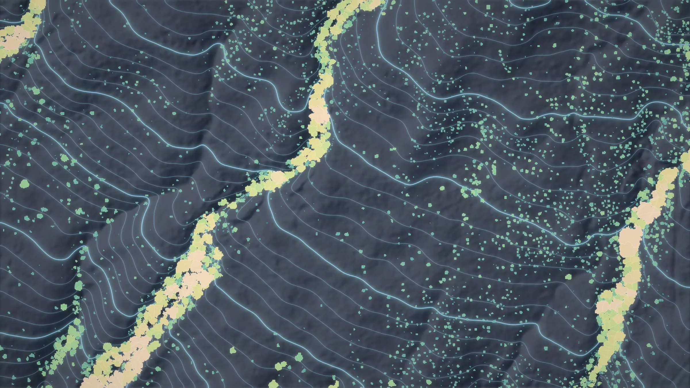
Koaiʻa trail planning
Drone LiDAR over 372 acres on the Kohala slopes: bare earth and 34,336 tree crowns that went into the plan for new trails, then on to DLNR.
Read the case study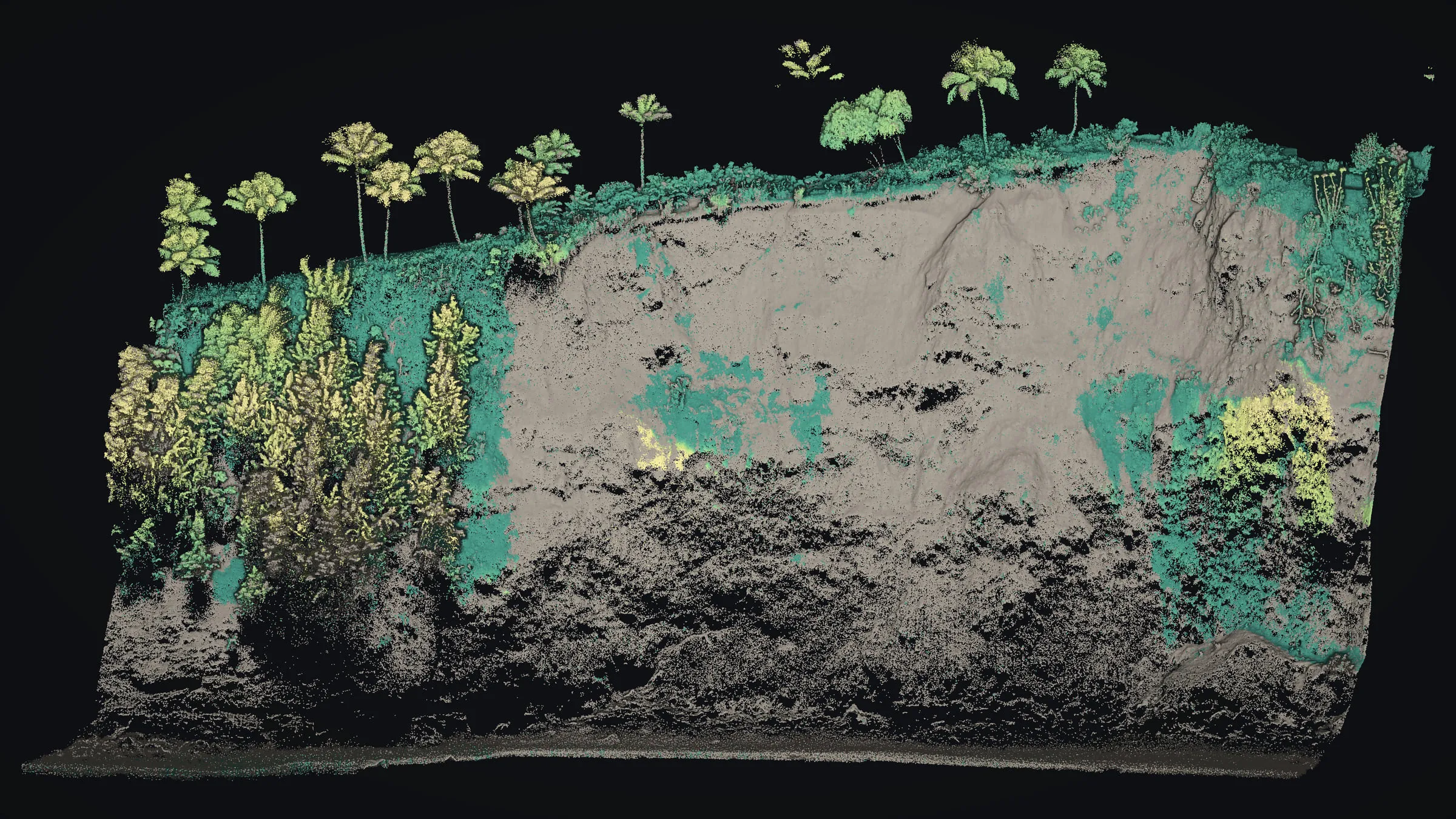
Cliffside erosion monitoring
A sea cliff measured with drone LiDAR from the water to its top edge: a baseline on file that later flights can be compared against.
Read the case studyWhat do you need mapped?
Tell us the island, the site and the decision in front of you, and we will say how we would map it and what you would get back.