
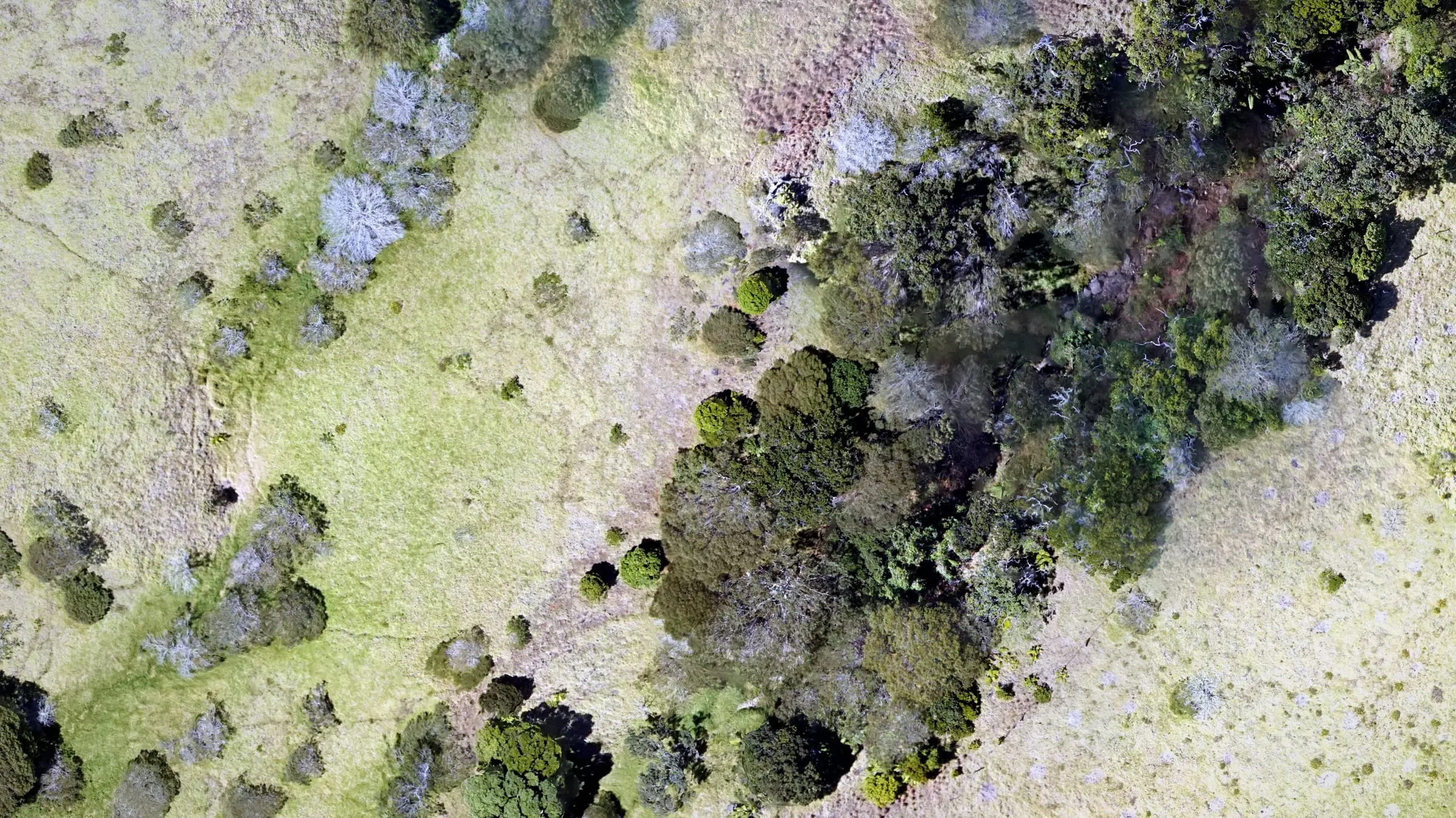
native forest · cultural sites
Conservation and cultural site mapping
Conservation mapping for some of the most sensitive places in Hawaiʻi: native forest, watersheds, restoration land and cultural sites, documented from the air with as light a footprint on the ground as we can manage.
Conservation land, mapped lightly
A trail corridor above a tree sanctuary, and a baseline for a sea cliff.

Document without disturbing
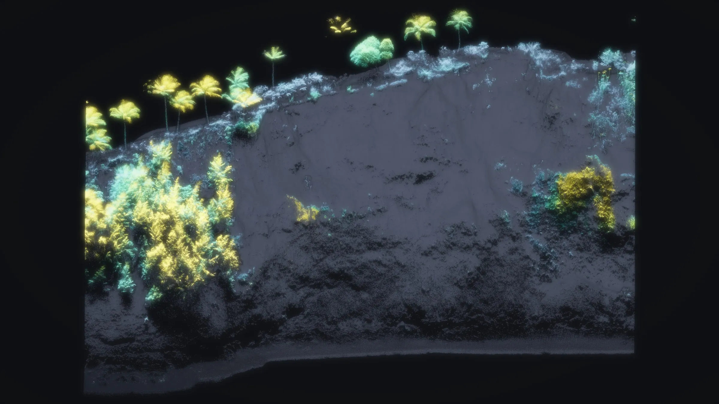
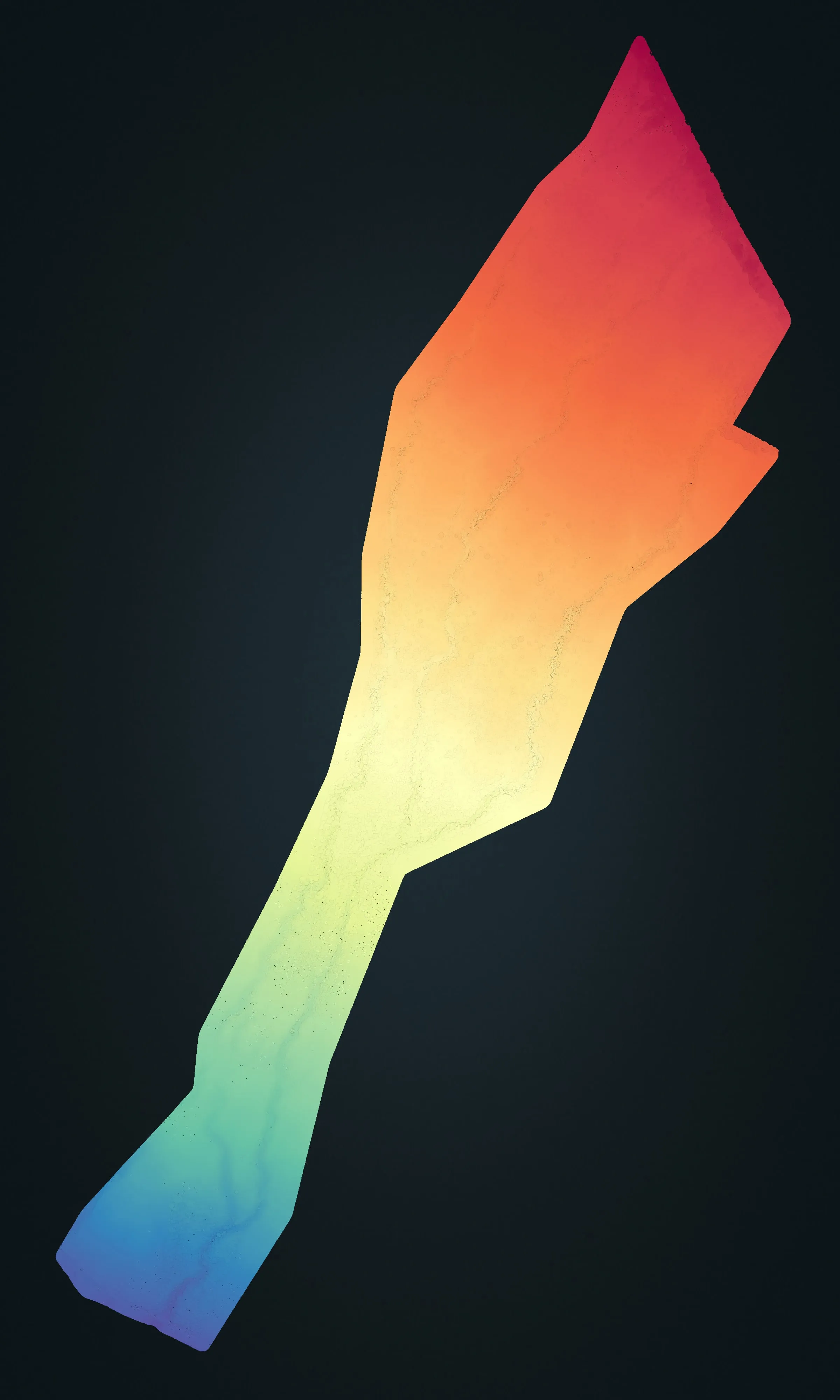
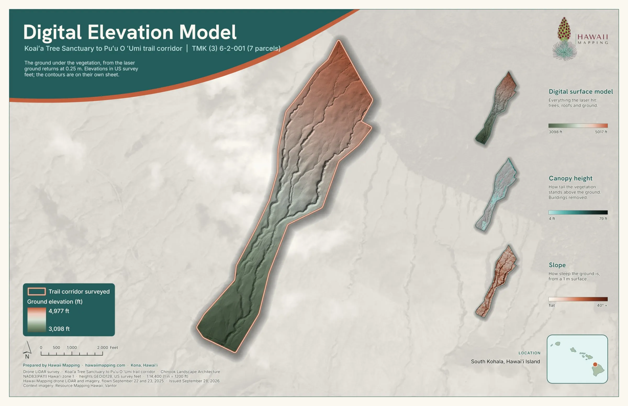
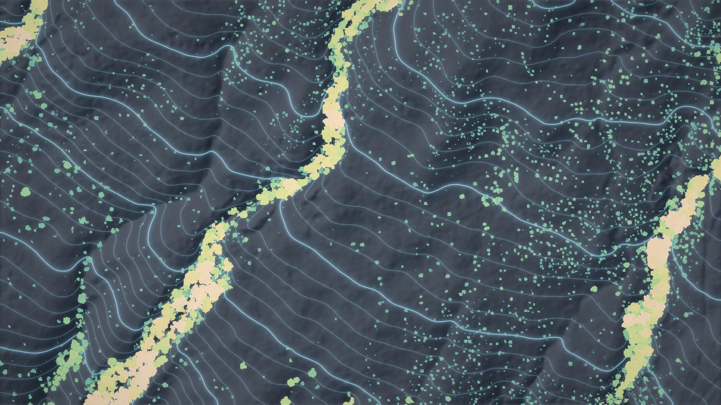
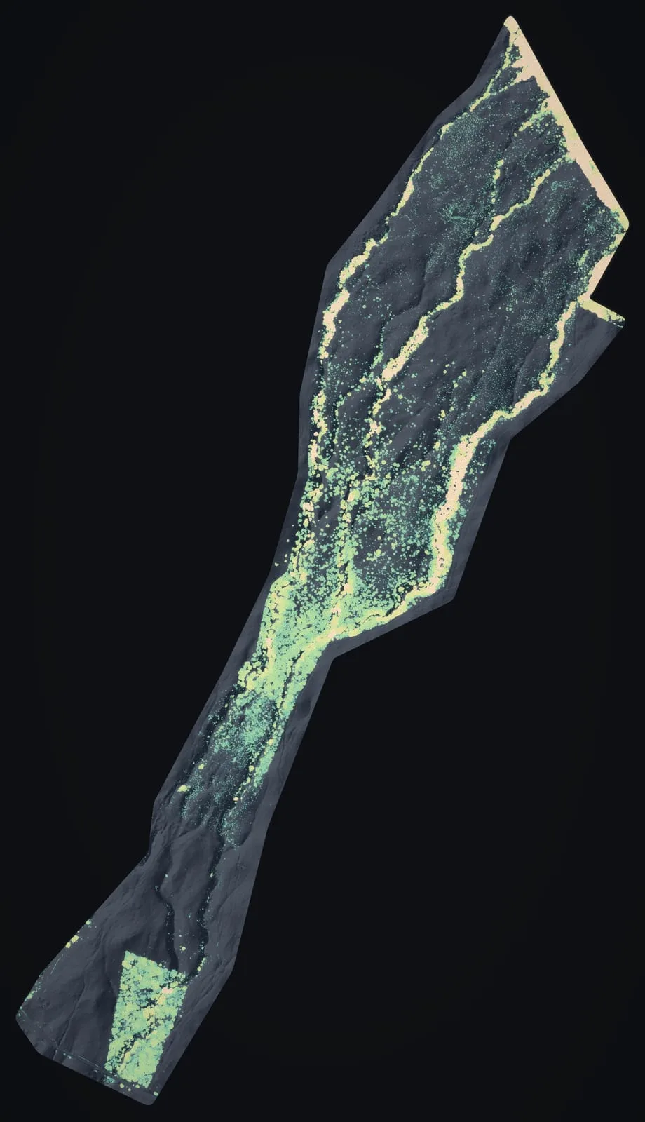
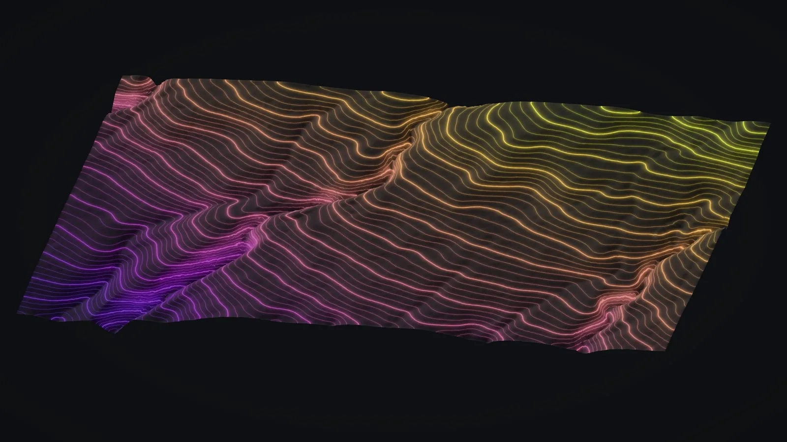
A drone maps fragile and hard to reach ground, from wetlands and steep watersheds to restoration sites, with almost no footprint. That gives baseline data for habitat, erosion and restoration progress, gathered without trampling the place you are trying to protect. On a sea cliff on the Big Island, our drone LiDAR is the baseline for erosion monitoring that a later flight can be compared with. At Koaiʻa, on replanted State land on the Kohala slopes, our drone LiDAR of 372 acres went to Chinook Landscape Architecture for trail planning, and from there to DLNR's trail and forestry programs.
Cultural resources, handled with care
Mapping from the air keeps feet off fragile ground, but a drone over a sacred place is still an intrusion unless it was invited there, and what it records can be sensitive in itself. We take on cultural site work only with the people who hold kuleana for a place leading it, on their terms: they decide what is flown, and who sees and keeps what we record. Where a place sets its own conditions for access and stewardship, as Kahoʻolawe does, those come first.
What we deliver
- Habitat, native forest and watershed mapping
- Baseline data for monitoring habitat and erosion
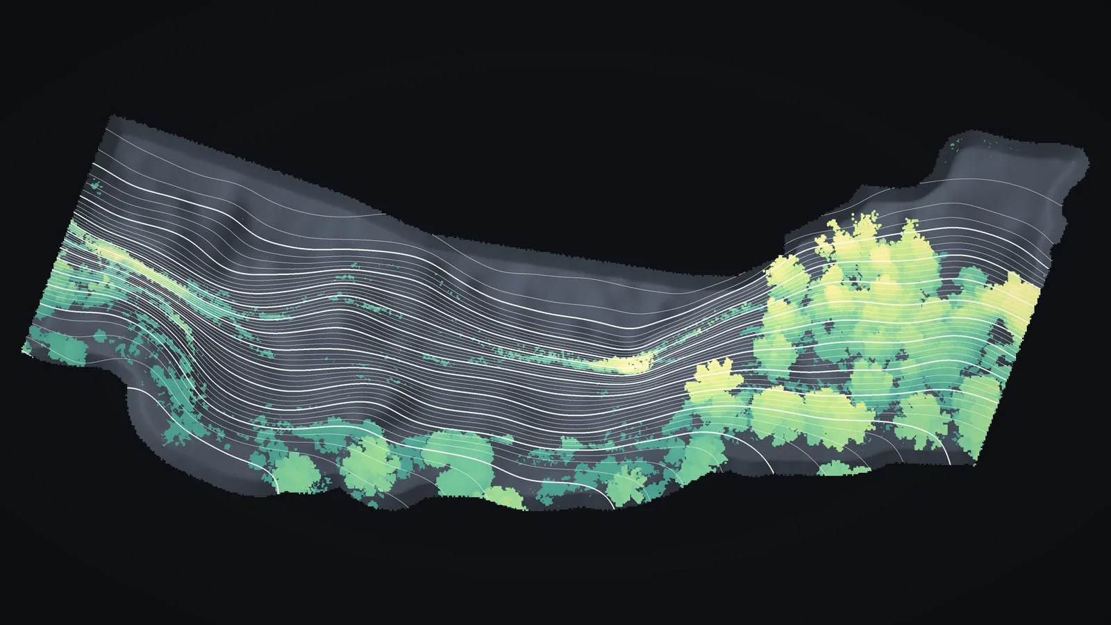
- Tree crown and canopy height layers for restoration work
- Cultural resource documentation that leaves the ground untouched
- Deliverables formatted for agencies and partners
Frequently asked questions
How do you document sensitive or hard to reach sites?
From the air. A drone reaches wetlands, steep watersheds and restoration land without people walking over them, and LiDAR records the ground and the vegetation in the same flight.
Do you work on cultural sites?
We can, with care, and only with the people responsible for a place leading the way. From the air, cultural resources can be recorded without anyone walking over them.
Can you provide baseline and monitoring data?
Yes. We deliver a baseline dataset for habitat, erosion or restoration work, built so that a later flight over the same ground can be compared with it.
Can the data from a sensitive site stay private?
Yes. It goes only to the people you name, and we leave the location off anything we publish. The sea cliff case study on this site names nothing finer than the island for that reason.
Case studies and related services
Looking after land that needs a record?
Send where it is, how large it is, what you need to measure and who may see the data. A sensitive site stays off anything we publish.