Case study · civil & land development
Design & plans support, Mountain View
In Mountain View on Hawaiʻi Island, we supported the engineering and design team working raw land — providing the bare-earth terrain and contours needed to plan access, drainage, and structures across difficult ground.
The challenge
Designing on raw Hawaiian land — for bridges, trails, and roads — starts with knowing the ground precisely. Engineers needed accurate terrain and contours over vegetated, uneven land before they could lay out alignments, manage drainage, and site structures.
What we did
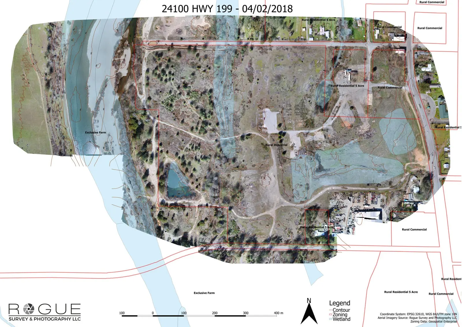
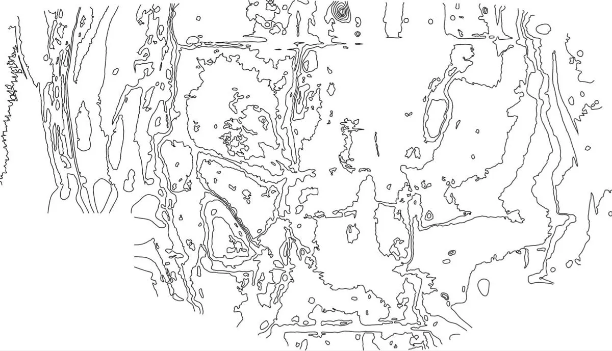
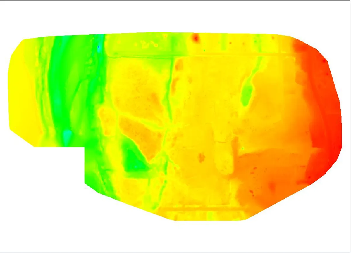
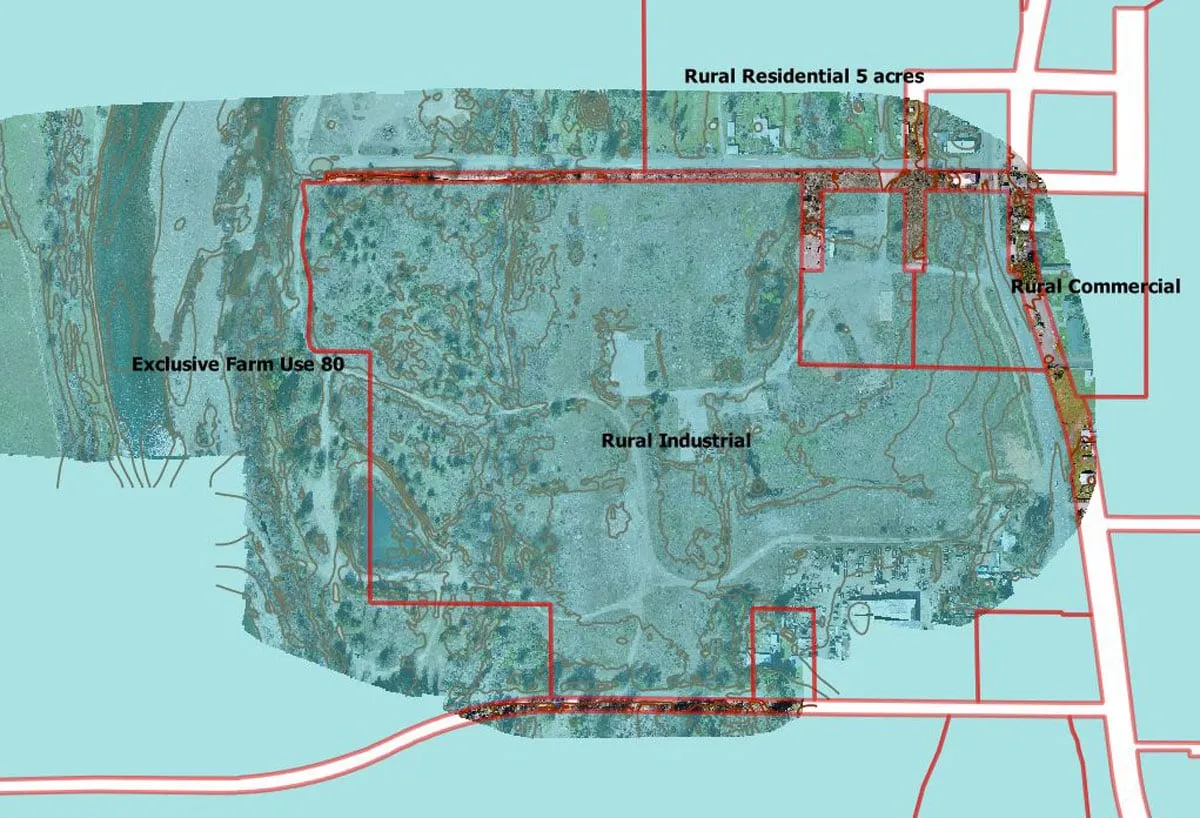
We captured the site from the air and processed it into a bare-earth terrain model, contours, and an orthomosaic the design team could work directly against. Tied to ground control, the data gave them a measurable base for grading, drainage, and structure design rather than estimates from coarse public data.
The result
The engineering team got a survey-grade foundation for their design work, captured quickly and locally — so the plans for access and structures rested on the real shape of the land.
Have a project like this in Hawaiʻi?
Tell us about your site and goals and we will recommend the right sensor, workflow, and deliverables.