Case study · agriculture
Farm management plan, Maui
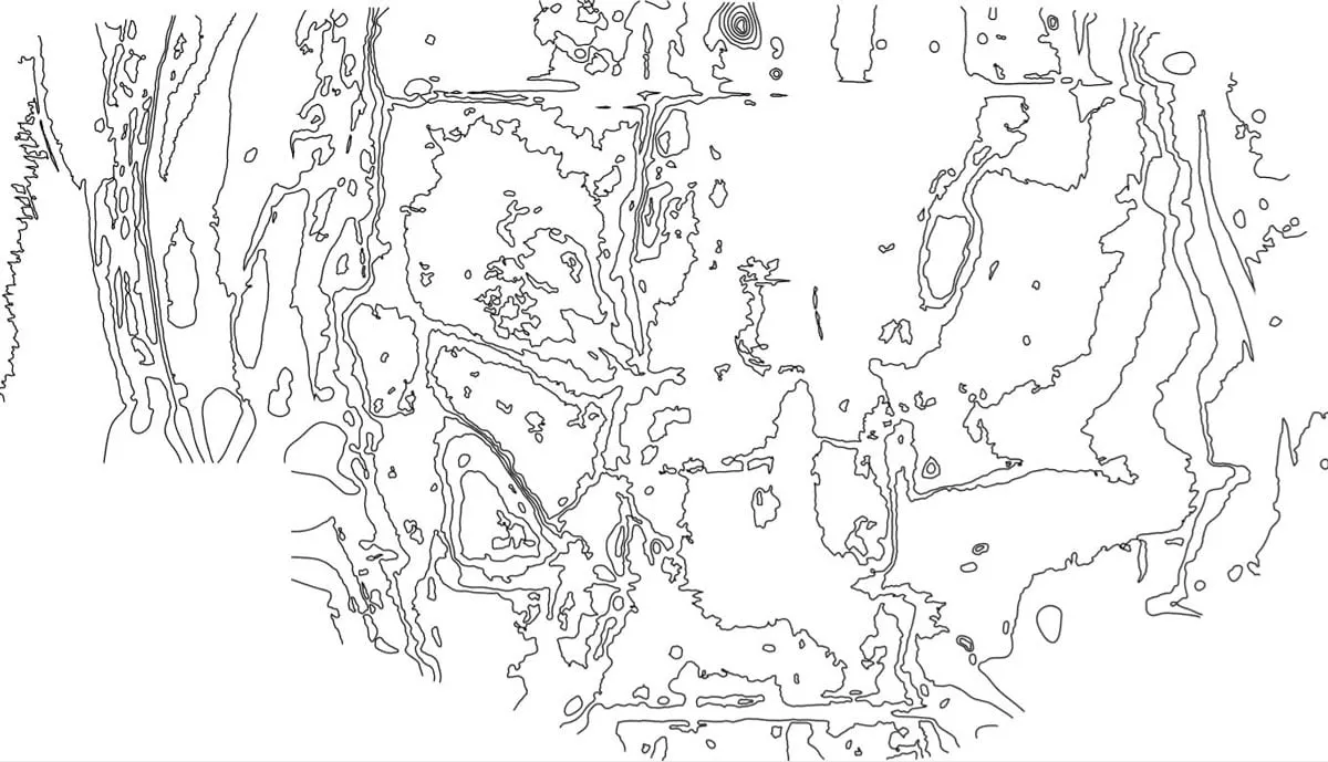
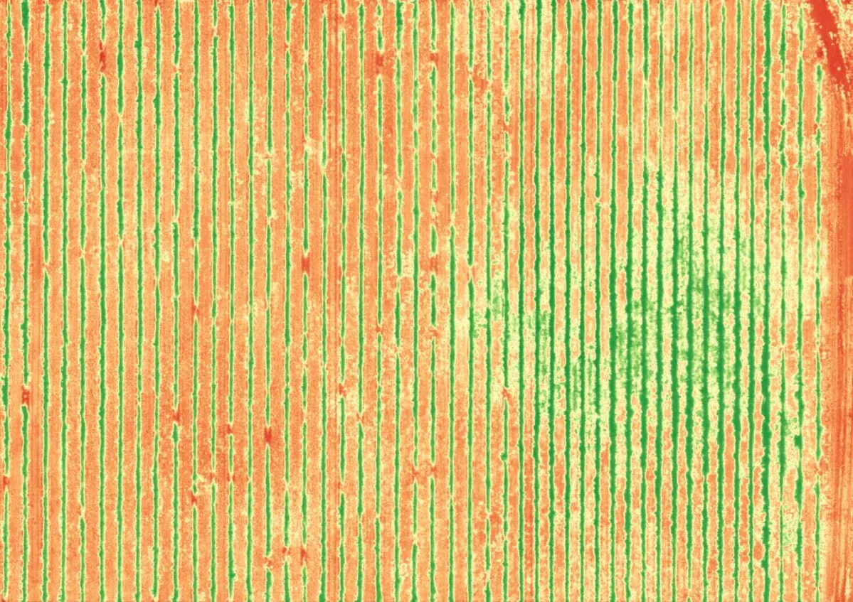
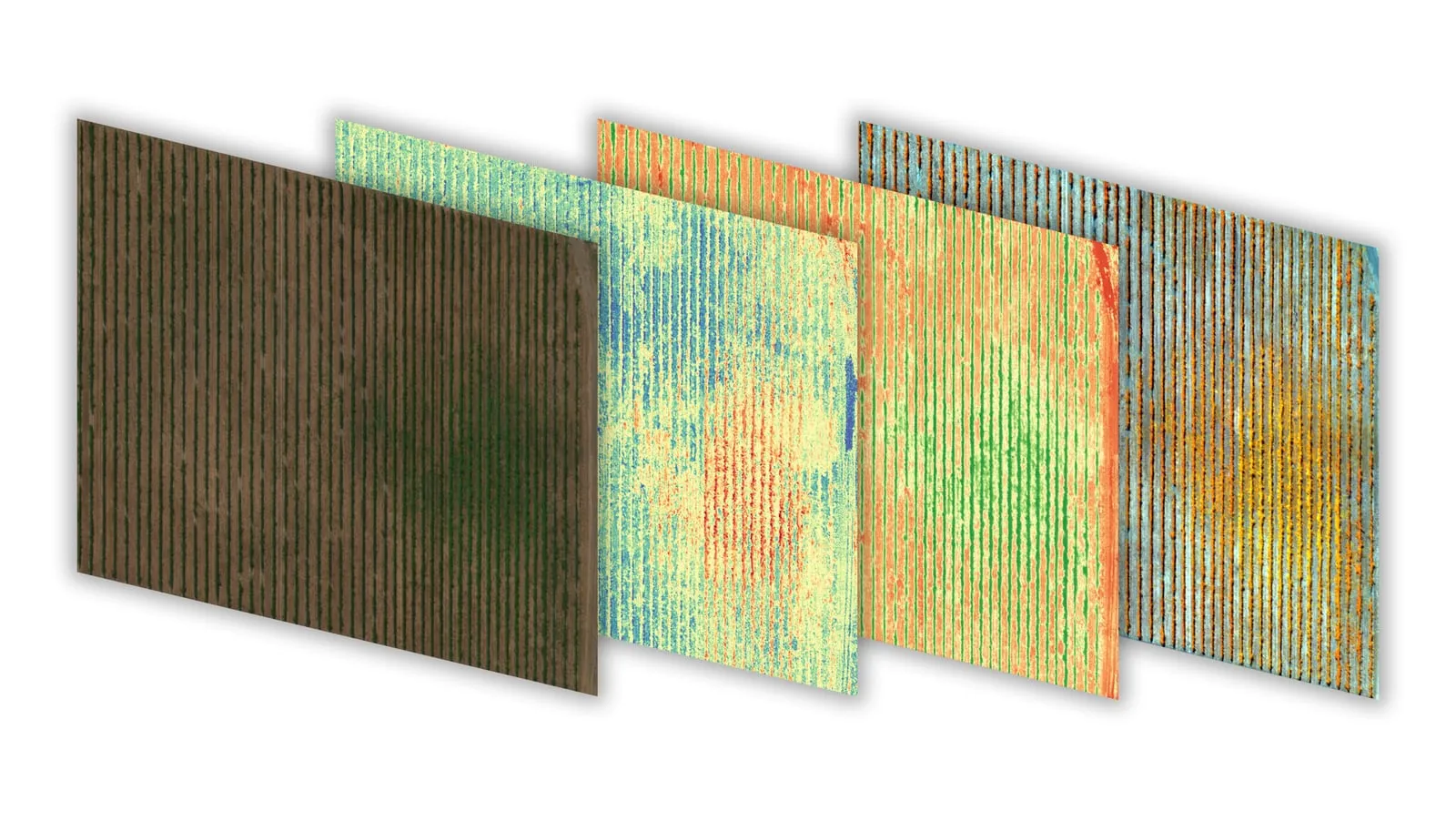
On Maui, we supported a farm management plan with combined LiDAR, RGB, and multispectral mapping — producing drainage contours, planning base maps, and the crop-health and soil information needed to manage the land well.
The challenge
A sound farm management plan needs more than a property line. The grower needed to understand how water moves across the land, where to plan plantings and access, and how the existing vegetation and soils were performing — all at once.
What we did
We captured the farm with LiDAR for terrain and drainage, RGB for a high-resolution base map, and multispectral imagery for plant health and soil indicators. From the LiDAR we generated contours to plan drainage and layout; from the multispectral data we produced vegetation indices highlighting vigor, stress, and variability across the fields.
The result
The farm gained a data-driven foundation for its management plan — drainage and planning contours plus a clear read on crop and soil conditions — so decisions about water, planting, and inputs could be made from evidence, not guesswork.
Have a project like this in Hawaiʻi?
Tell us about your site and goals and we will recommend the right sensor, workflow, and deliverables.